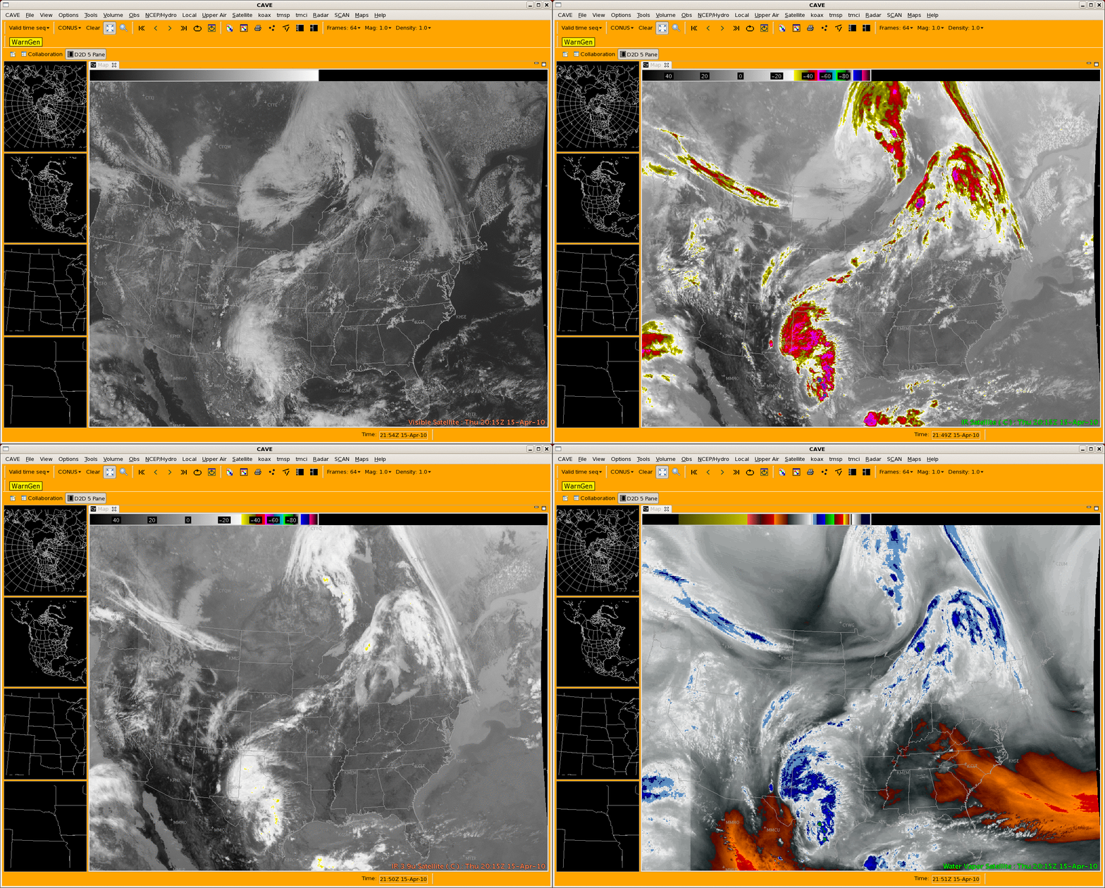
GOES imagery displayed using AWIPS II
CIMSS has recently begun the process of evaluating and testing satellite imagery and products in the next generation of AWIPS (AWIPS II or AWIPS Migration). GOES 0.65 µm visible channel, 10.7 µm IR channel, 3.9 µm IR channel, and 6.5 µm water vapor channel data from 15 April 2010 are displayed using the Common AWIPS Visualization Environment (CAVE) component of AWIPS II (above). Some features of interest include areas of showers and thunderstorms in parts of Texas and far eastern New Mexico, the large gradient of water temperatures over the far western Atlantic Ocean, and a large area of snow cover in southern Alberta, Canada.
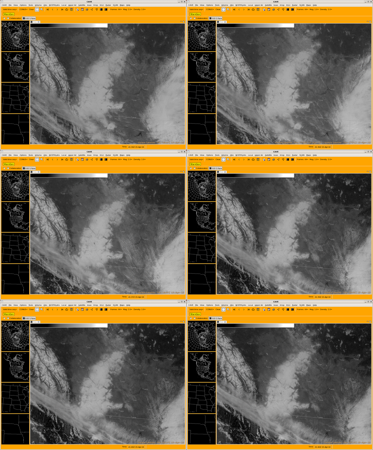
A closer view of the snow cover using GOES 0.65 µm visible channel data (below) shows the areal coverage of the heavy snow that fell on 14 April. Some areas in southeastern Alberta received as much as 60 cm (24 inches) of heavy, wet snowfall which led to widespread power outages and some road closures. The edges of the snow cover can be seen to be melting inward, a testament to the heating power of the higher sun angle of mid-April.


