Possible development of a subtropical or a tropical disturbance in the Atlantic Ocean?
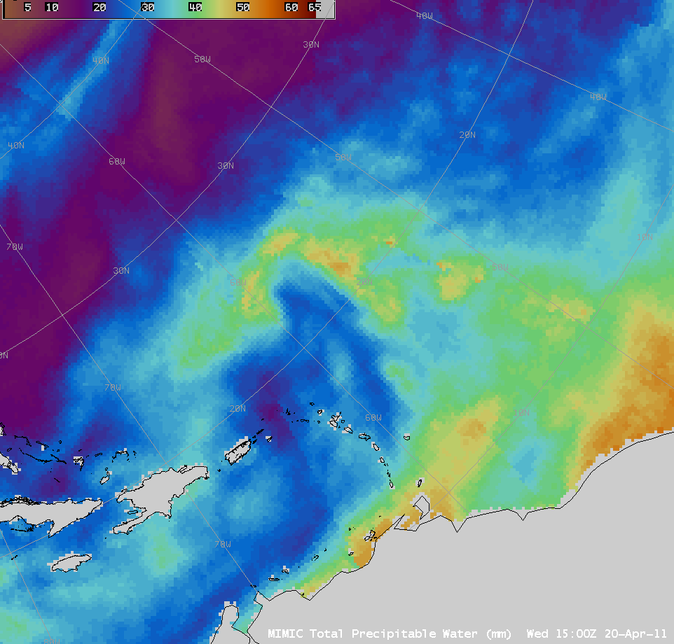
The National Hurricane Center initiated Invest 91 to monitor the potential development of a subtropical or even possibly a tropical cyclone over the western Atlantic Ocean on 20 April 2011. AWIPS images of the MIMIC Total Precipitable Water (TPW) product (above; click image to play animation) showed that a tongue of moisture was being advected northward from the band of higher moisture along the Inter-Tropical Convergence Zone (ITCZ) — and this moisture plume was being wrapped into the circulation of the developing disturbance.
A closer look at the MIMIC TPW product at 14:00 UTC along with an overlay of ASCAT scatterometer winds (below) revealed a well-defined cyclonic circulation at the surface, with gale force winds within the northwest quadrant of the storm.
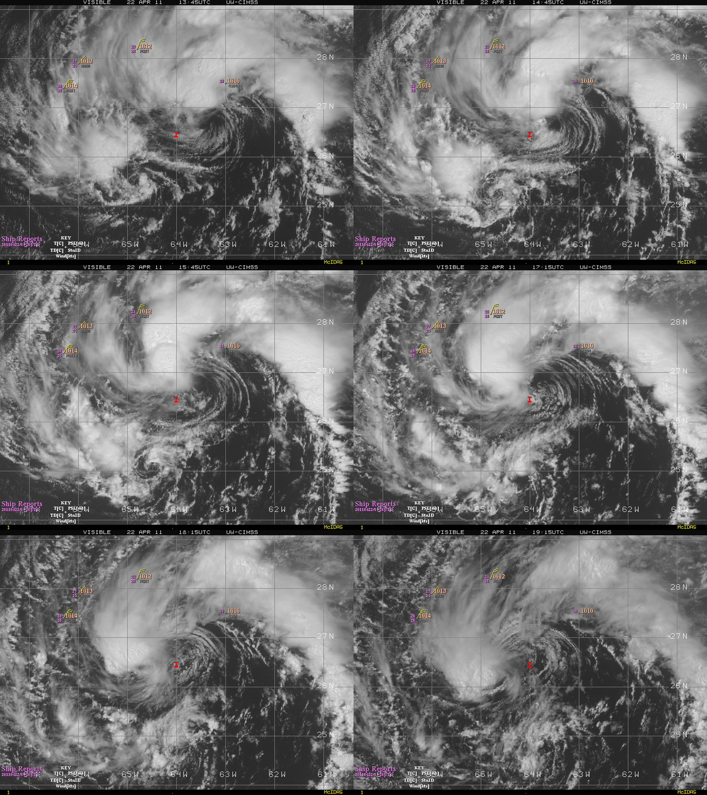
Animations of GOES-13 0.63 µm visible channel images (above) and GOES-13 10.7 µm IR channel images (below) from the CIMSS Tropical Cyclones site continued to show very well-defined cyclonic circulations associated with the feature on 22 April 2011.
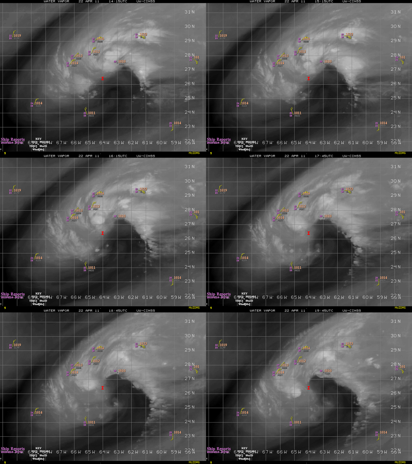
GOES-13 6.5 µm water vapor channel images (below) indicated that dry mid-tropospheric air was wrapping into the system from the south and east.
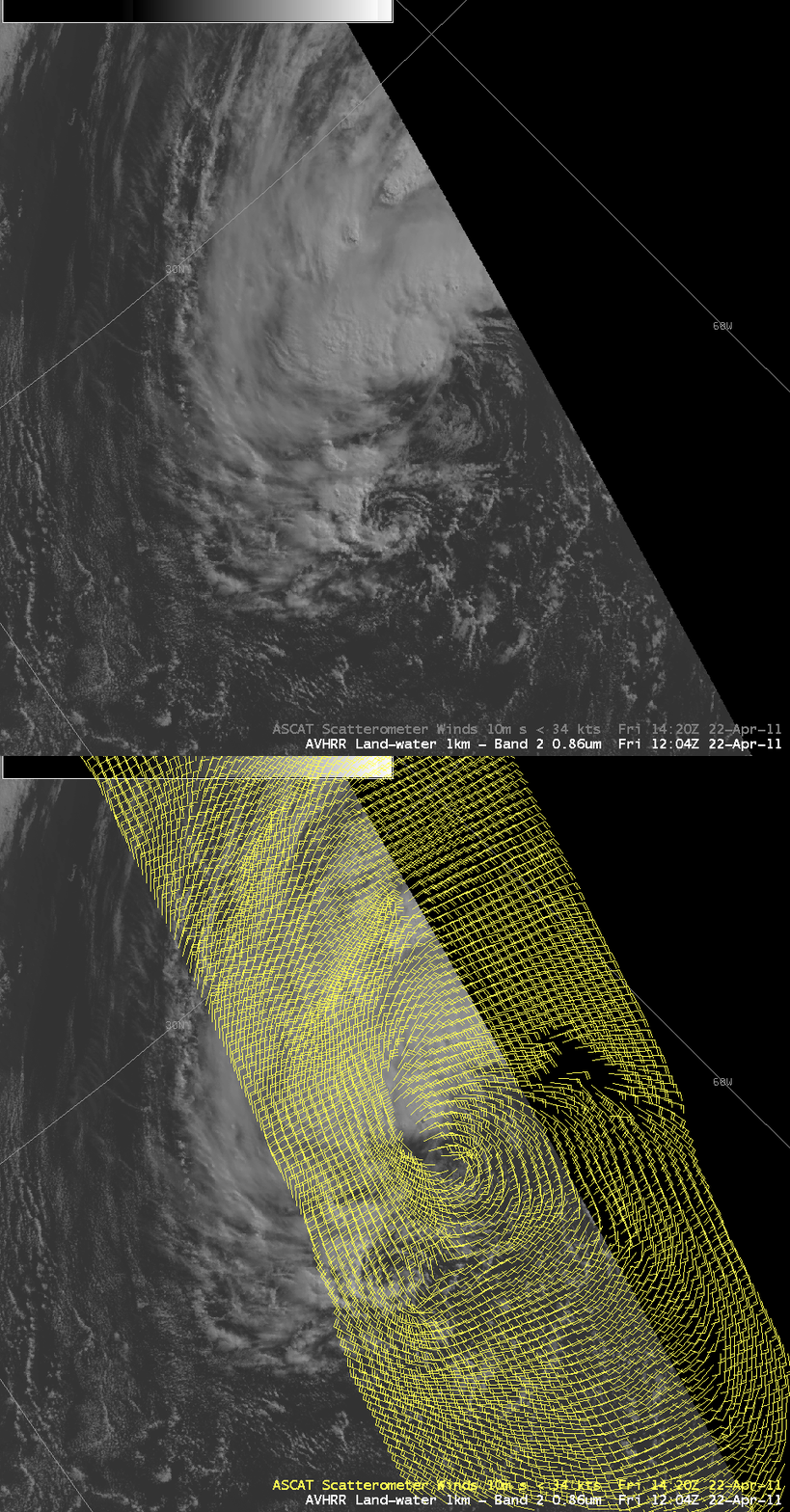
A comparison of AWIPS images of the POES AVHRR 0.86 µm visible channel with ASCAT scatterometer surface wind data (below) revealed the development of deep convective elements just to the north of the low-level circulation center.
A sequence of three POES AVHRR 0.86 µm visible channel images (below) showed the evolution of the convective elements associated with the disturbance during the day.


