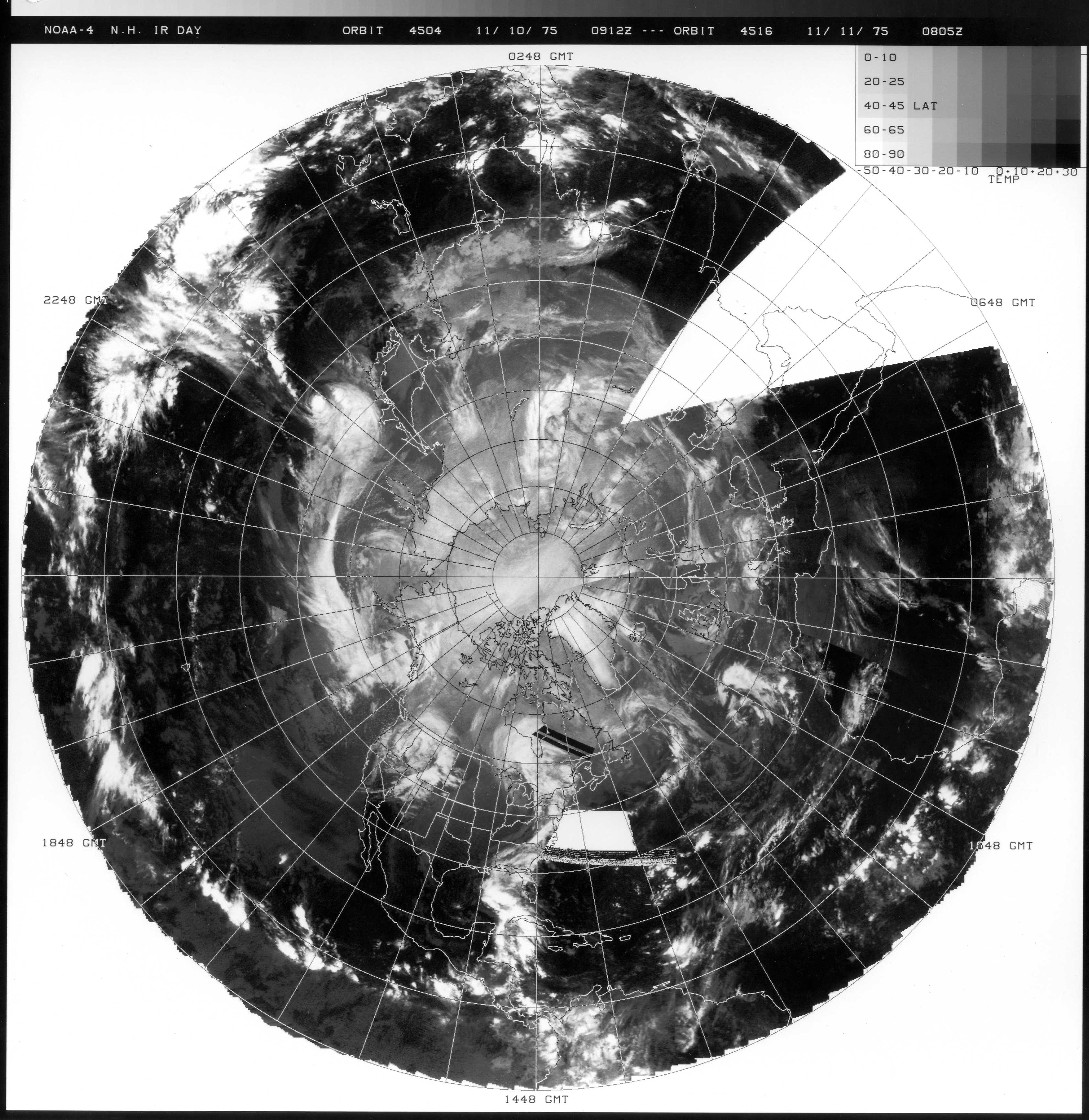
Since the first operational geostationary weather satellites (SMS-1 and SMS-2) were relatively new back in 1975, the CIMSS Regional Assimilation System (CRAS) model was utilized to generate synthetic Infrared (IR) satellite images to provide a general idea of what the satellite imagery might have looked like for this intense storm. The 48-hour sequence of synthetic CRAS IR images (below) shows the evolution of the model-derived cloud features at 1-hour intervals.
Additional information about this Edmond Fitzgerald storm can be seen on this website, as well as the NWS Marquette and this journal article.A strong storm of similar character developed over the Upper Midwest and Great Lakes region on 9-11 November 1998. GOES-8 (GOES-East) Infrared (10.7 µm) and Water Vapor (6.7 µm) images of this 1998 storm are shown below (and are also available as YouTube videos). This storm set all-time minimum barometric pressure records for the state of Minnesota, with 962 mb (28.43″) recorded at Albert Lea and Austin in southern Minnesota. On the cold side of the storm, up to 12.5 inches of snow fell at Sioux Falls in southeastern South Dakota. Wind gusts were as high as 64 mph in Minnesota and 94 mph in Wisconsin.