This website works best with a newer web browser such as Chrome, Firefox, Safari or Microsoft Edge. Internet Explorer is not supported by this website.

Category: Marine weather

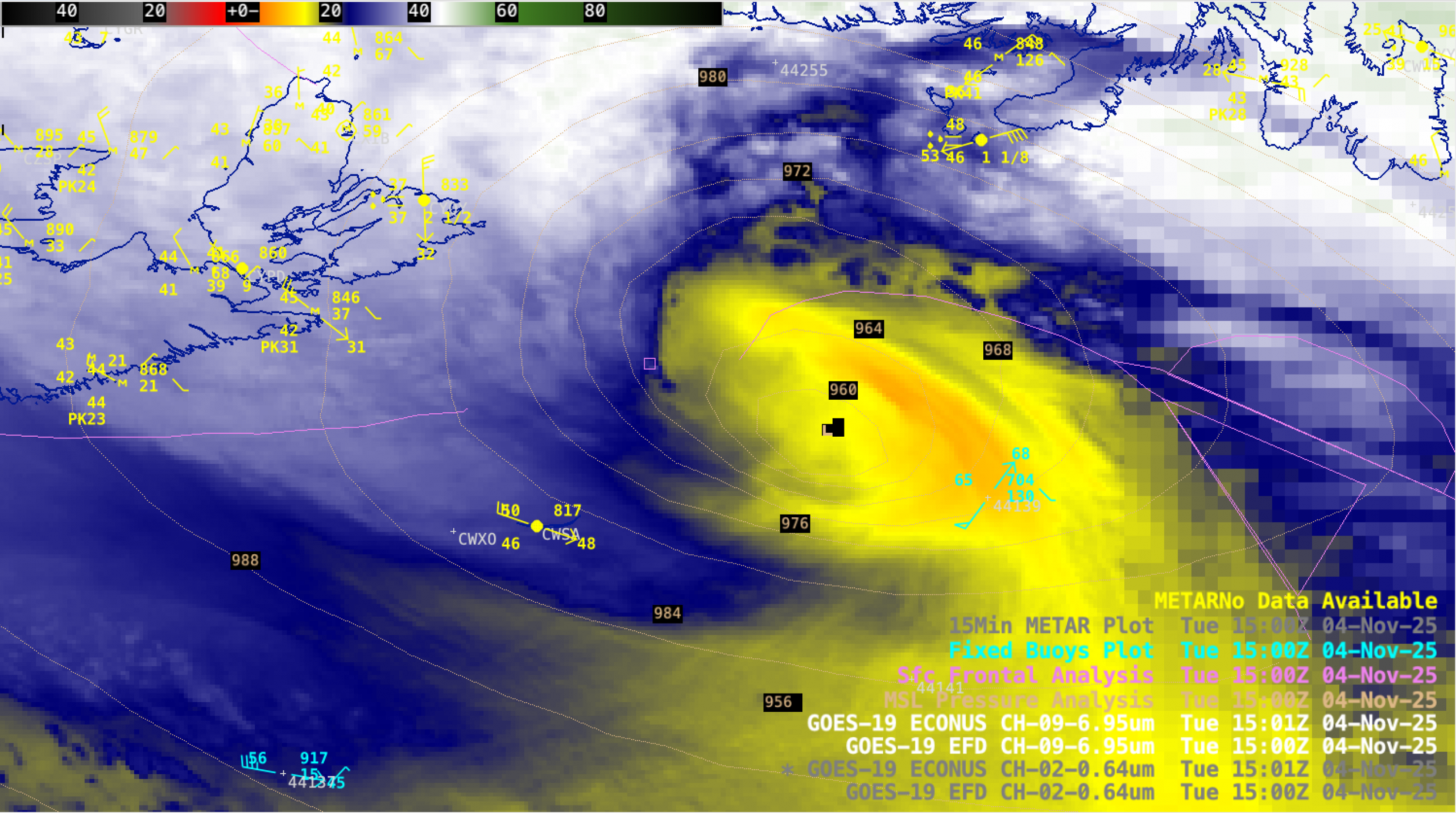
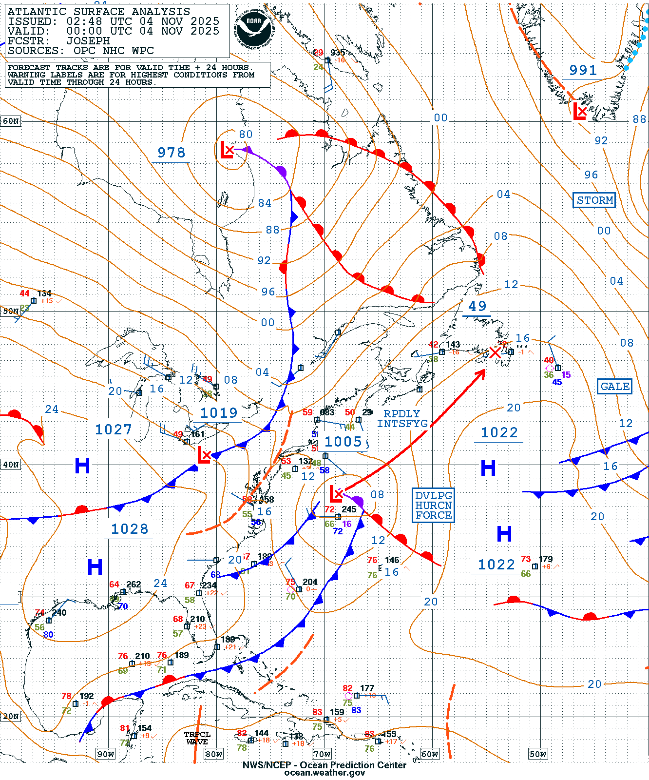
Tehuano gap wind event

As a strong arctic cold front moved southward across the Gulf of Mexico toward southern Mexico on 04-05 February 2026, the cold front fractured as it moved inland across Mexico’s Isthmus of Tehuantepec — the cold air was then channeled southward through Chivela Pass and emerged as a Tehuano (or... Read More

Mesolows in Lake Superior

5-minute CONUS Sector GOES-19 (GOES-East) Visible images (above) showed the development of at least 2 mesolow circulations in southern Lake Superior (off the coast of Upper Michigan) on 29 January 2026. The combination of Fixed Buoy and METAR surface reports implied that there was convergence over the portion of the lake... Read More

Rapidly intensifying Hurricane Force Low south of Atlantic Canada

5-minute CONUS Sector GOES-19 (GOES-East) Visible images (above) showed a rapidly intensifying Hurricane Force Low (surface analyses) that was approaching Atlantic Canada on 04 November 2025.Two examples of Metop ASCAT surface scatterometer winds having speed values greater than Category 1 hurricane intensity are shown below. 5-minute GOES-19 Water Vapor images (below) depicted a mid-tropospheric... Read More