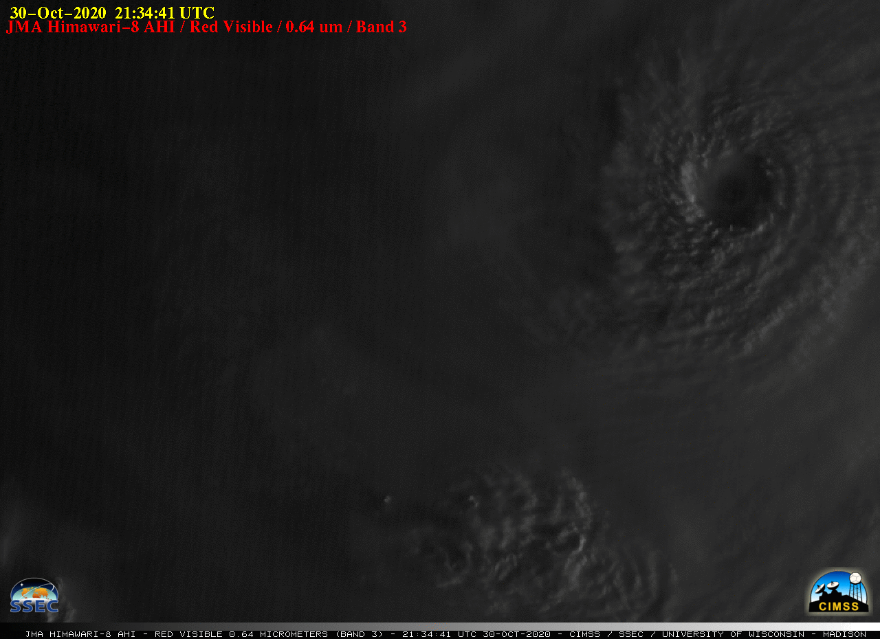
Super Typhoon Goni in the West Pacific Ocean
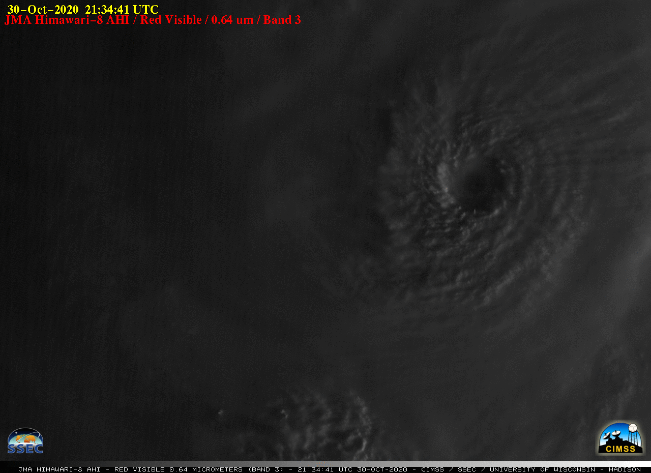
JMA Himawari-8 “Red” Visible (0.64 µm) images [click to play animation | MP4]
The corresponding Infrared (10.4 µm) images (below) revealed cloud-top infrared brightness temperatures that were frequently in the -80 to -85ºC range (shades of violet).
![JMA Himawari-8 "Clean" Infrared Window (10.4 µm) images [click to play animation | MP4]](https://cimss.ssec.wisc.edu/satellite-blog/images/2020/10/201030_himawari8_infrared_Typhoon_Goni_anim.gif)
JMA Himawari-8 “Clean” Infrared Window (10.4 µm) images [click to play animation | MP4]
![Himawari-8 Longwave Infrared (11.2 µm) images, with contours of 0i0 UTC deep-layer wind shear [click to enlarge]](https://cimss.ssec.wisc.edu/satellite-blog/images/2020/10/201030_himawari8_infrared_shear_Goni_anim.gif)
Himawari-8 Longwave Infrared (11.2 µm) images, with contours of 00 UTC deep-layer wind shear [click to enlarge]
===== 31 October Update =====
![JMA Himawari-8 "Clean" Infrared Window (10.4 µm) images [click to play animation | MP4]](https://cimss.ssec.wisc.edu/satellite-blog/images/2020/10/201031_himawari8_infrared_SuperTyphoon_Goni_anim.gif)
JMA Himawari-8 “Clean” Infrared Window (10.4 µm) images [click to play animation | MP4]
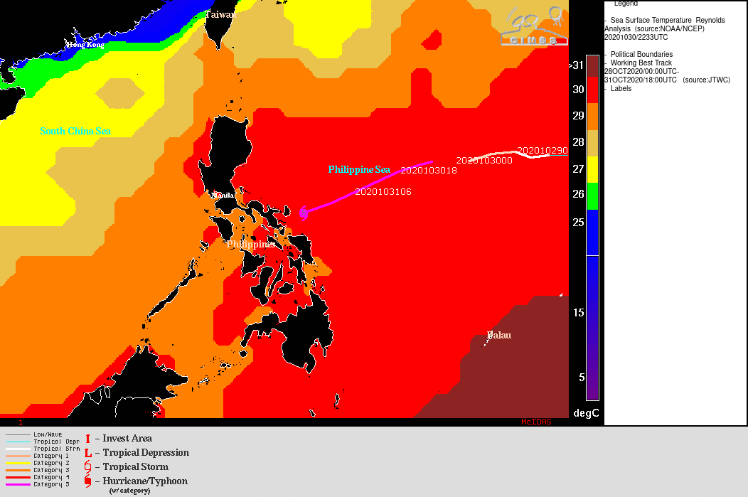
Note the rapid deterioration of the eye upon landfall — this was likely due to a combination of interaction with the terrain of the island, and increasing deep-layer wind shear (below). As it was approaching the Philippines, Goni had been moving over very warm water characterized by high values of Sea Surface Temperature and Ocean Heat Content.
![Himawari-8 Water Vapor images, with contours of deep-layer wind shear [click to enlarge]](https://cimss.ssec.wisc.edu/satellite-blog/images/2020/10/201031_himawari8_waterVapor_shear_Goni_anim.gif)
Himawari-8 Water Vapor images, with contours of deep-layer wind shear [click to enlarge]
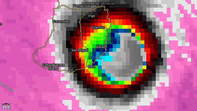
![DMSP-16 SSMIS Microwave image at 2032 UTC [click to enlarge]](https://cimss.ssec.wisc.edu/satellite-blog/images/2020/10/201031_2032utc_dmsp16_ssmis_microwave_Goni.gif)
DMSP-16 SSMIS Microwave (85 GHz) image at 2032 UTC [click to enlarge]
![NOAA-20 VIIRS Infrared Window (11.45 ) image [click to enlarge]](https://cimss.ssec.wisc.edu/satellite-blog/images/2020/10/201031_16utc_noaa20_infrared_Typhon_Goni_anim.gif)
NOAA-20 VIIRS Infrared Window (11.45 µm) image [click to enlarge]