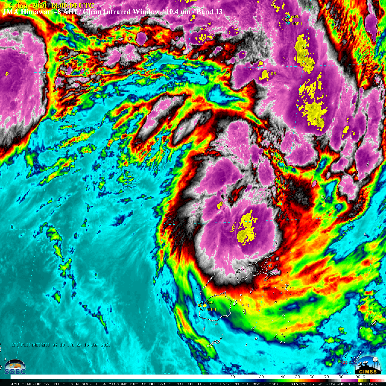
Tropical Cyclone Tino in the South Pacific Ocean

Himawari-8 “Clean” Infrared Window (10.4 µm) images [click to play animation | MP4]
Plots of rawinsonde data from Fiji (below) showed a tropopause around 100 hPa, where the temperature was around -85ºC — so the tropical overshooting tops with IRBTs in the -90 to -100ºC range were extending into the stratosphere.
Plots of deep-layer wind shear from the CIMSS Tropical Cyclones site (below) indicated that Tino gradually intensified within a narrow zone of light shear.===== 17 January Update =====

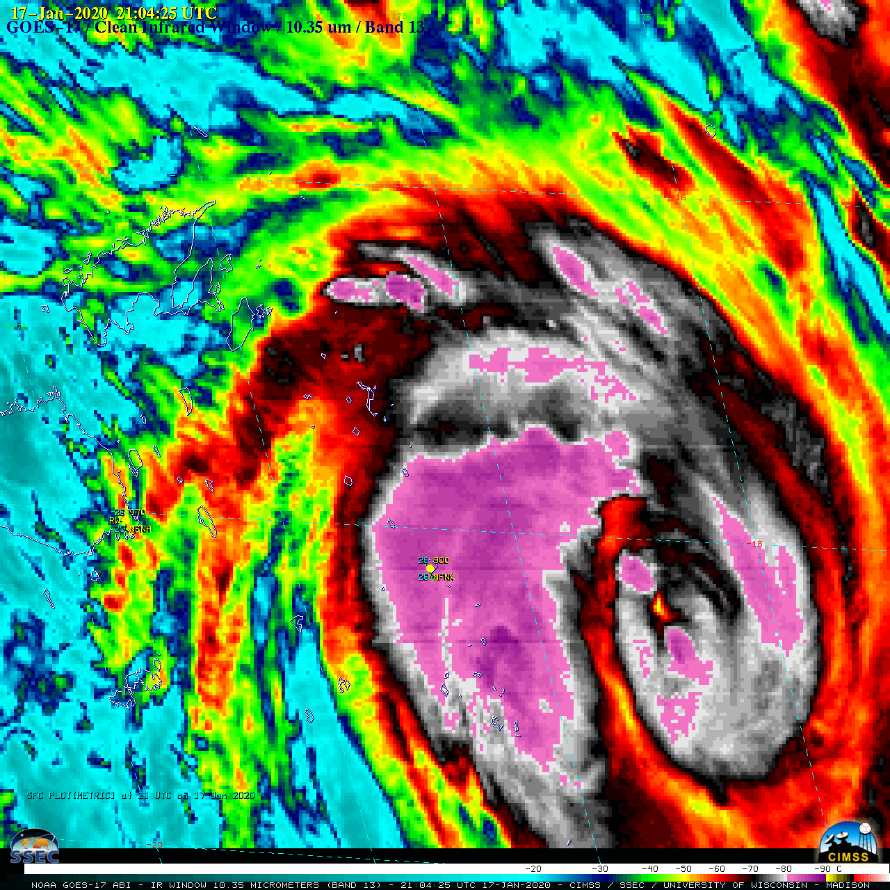
GOES-17 “Clean” Infrared Window (10.35 µm) images [click to play animation | MP4]


![Plots of rawinsonde data from Fiji [click to enlarge]](https://cimss.ssec.wisc.edu/satellite-blog/images/2020/01/200116_NFFN_RAOBS.GIF)
![Plots of deep-layer wind shear [click to enlarge]](https://cimss.ssec.wisc.edu/satellite-blog/images/2020/01/200116_deepLayerWindShear_Tino_anim.gif)