Mesoscale Convective Vortex in the Gulf of Mexico
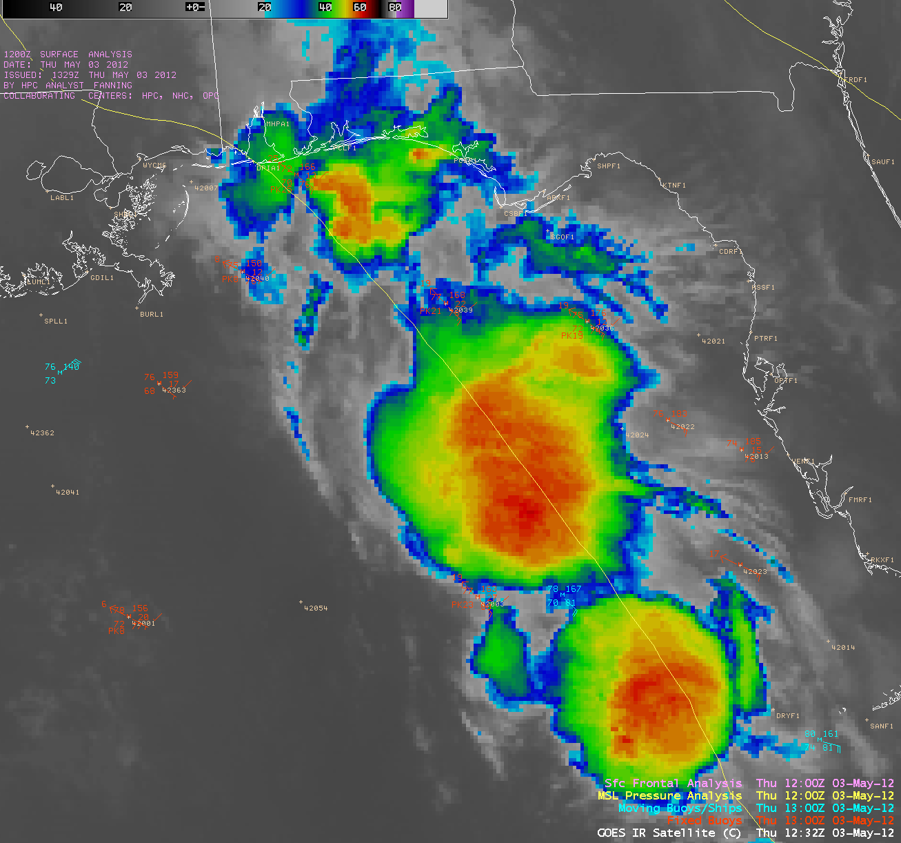
AWIPS images of 4-km resolution GOES-13 10.7 µm IR channel data (above; click image to play animation) showed the development of large thunderstorms over the far eastern Gulf of Mexico during the pre-dawn hours on 03 May 2012.
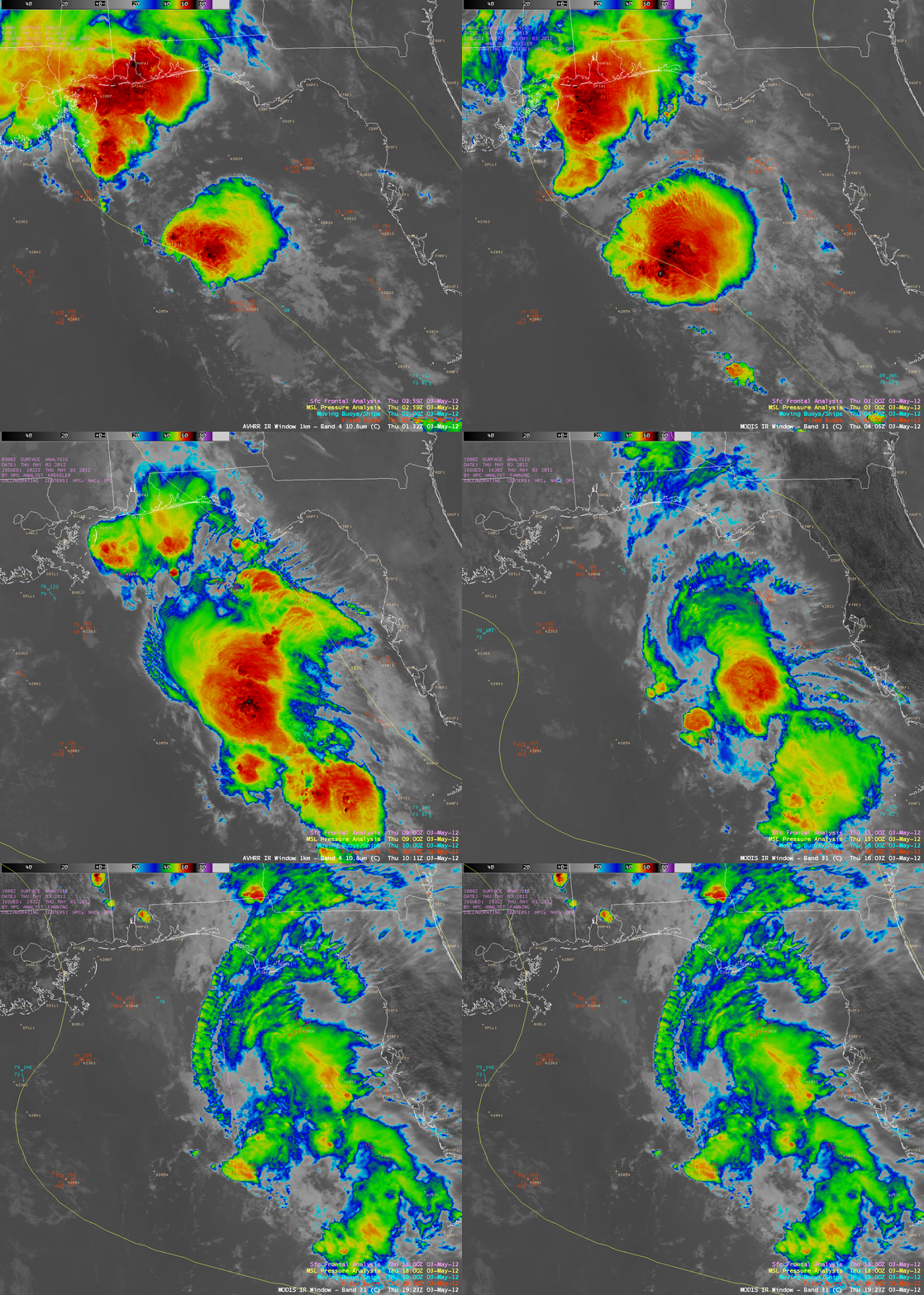
Better detail of the cold convective cloud tops could be seen in a series of 1-km resolution POES AVHRR 10.8 µm IR and MODIS 11.0 µm IR channel images (below).
McIDAS images of 1-km resolution GOES-13 0.63 µm visible channel data (below; click image to play animation) revealed the formation of a mesoscale convective vortex (MCV) after the night-time convection dissipated.
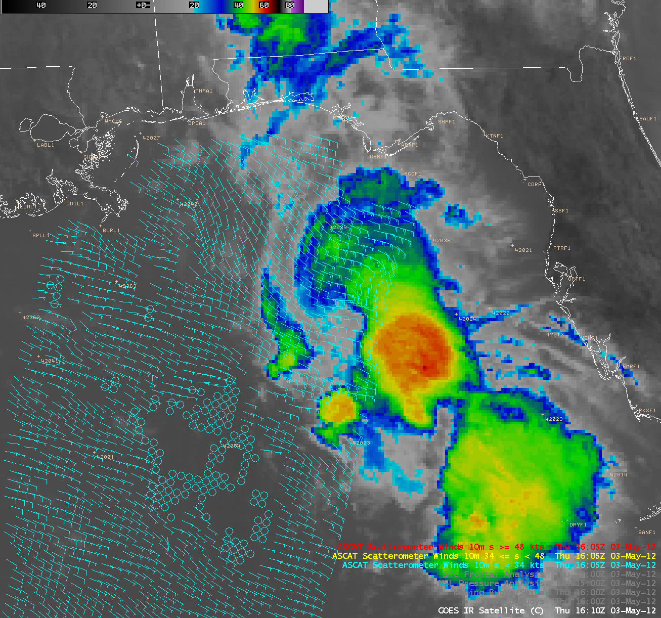
A GOES-13 10.7 µm IR image at 16:10 UTC with an overlay of ASCAT scatterometer surface winds at 16:05 UTC (below) suggested that the MCV was causing a perturbation in the general southeasterly flow as it was beginning to organize.


