Starting Date [Julian Day]
(Day of Week)
|
Test Schedule Name |
Duration |
Center Point (coverage) |
Comments |
Links (large files) |
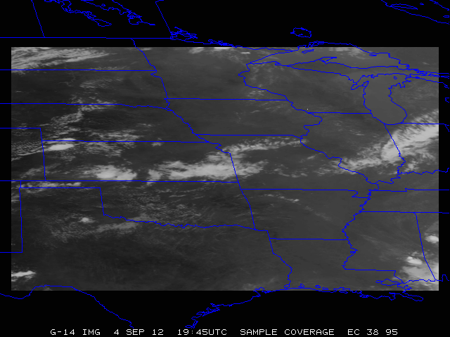
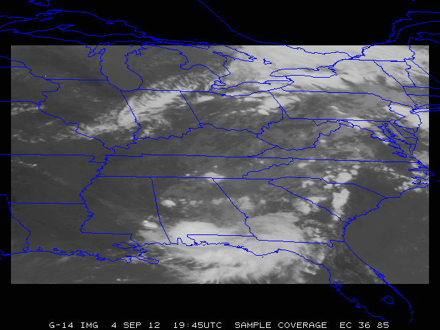
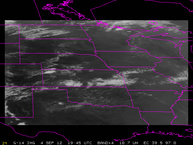
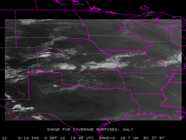
May 8 [128]
(Th) |
SRSOR (no FD) |
128/ 11:14:30 UTC - 129/ 11:14:00 UTC |
38N 95W |
Moderate Risk, southern MN, northern IA |
CIMSS Blog post (Midwest) Visible animation (mp4) 3-panel animation (mp4) HWT blog Vis+IR+Over-shooting Tops |
May 9 [129]
(F) |
SRSOR (no FD) |
129/ 11:14:30 UTC - 130/ 11:14:00 UTC |
35N 92W |
Slight Risk mid Mississippi valley |
CIMSS Blog post (TX) |
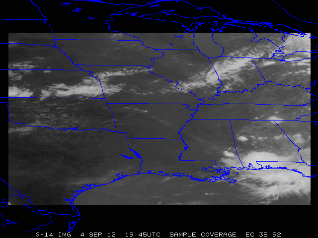
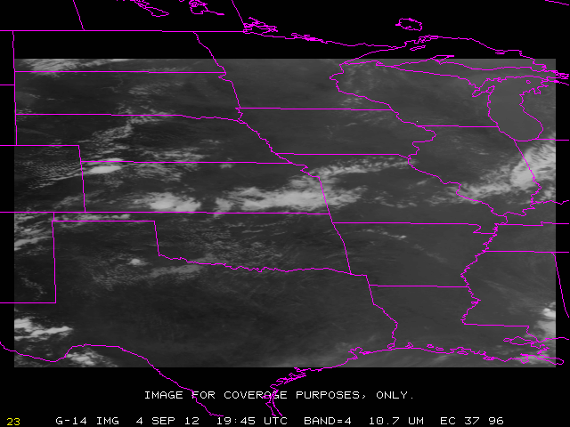
May 10 [130]
(Sa) |
SRSOR (no FD) |
130/ 11:14:30 UTC - 131/ 11:14:00 UTC |
36N 92W |
Slight Risk over lower MO valley to central OK |
Vis loop (KS, MO) 2-day Vis loop (Midwest) from RAMMB in YouTube -- best if full screen and high res |
May 11 [131]
(Su) |
SRSOR (no FD) |
131/ 11:14:30 UTC - 132/ 11:14:00 UTC |
37N 96W |
Moderate Risk over KS, NE, IA |
CIMSS Blog post (Central Plains) RAMMB Blog post (Central Plains) Vis loop (NE) Storm Center Vis and IR loop (YouTube) CIMSS Satellite Blog on Orphan Anvils |
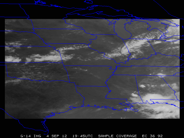
May 12 [132]
(M) |
SRSOR (no FD) |
132/ 11:14:30 UTC - 133/ 11:14:00 UTC |
36N 92W |
Slight risk from central Great Lakes to southern Plains |
Vis loop (Midwest) SRSOR + Roof Top Camera imagery over Madison, WI (YouTube) |
May 13 [133]
(T) |
SRSOR (no FD) |
133/ 11:14:30 UTC - 134/ 11:14:00 UTC |
36N 85W |
Continued strong cold front across central U.S. |
Vis loop (GA: Cu, etc.) Vis loop WV: from Fog to Convection CIMSS Blog |
|
May 14 [134]
(W) |
SRSOR (no FD) |
134/ 11:14:30 UTC - 135/ 11:14:00 UTC |
35N 85W |
Slight risk from Lower Mississippi Valley to Central OH Valley |
1 vs 5 min vis loop (OH) 1 vs 15 min vis loop (OH) ftp: Vis loop over GA |
May 15 [135]
(Th) |
SRSOR (no FD) |
135/ 11:14:30 UTC - 136/ 11:14:00 UTC |
36N 81W |
Slight risk over the Carolinas and mid-Atlantic states |
Convection (GA and northern FL) |
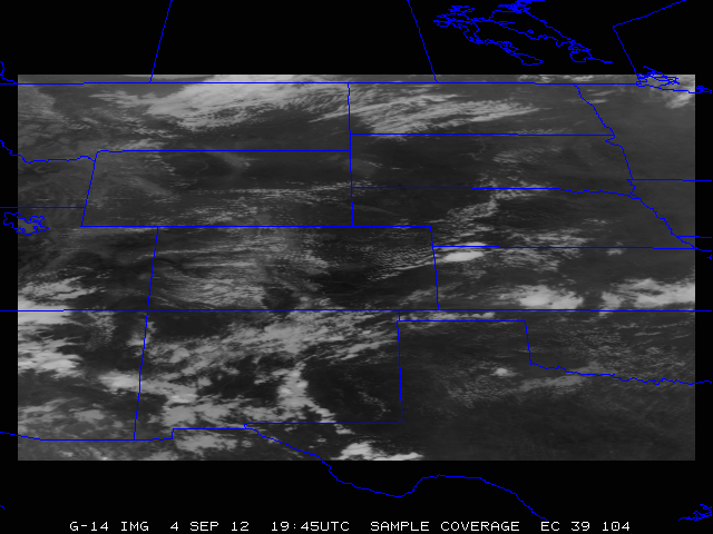
May 16 [136]
(F) |
SRSOR (no FD) |
136/ 11:14:30 UTC - 137/ 11:14:00 UTC |
39N 104W |
. |
Mountain wave clouds and snow (UT) |
May 17 [137]
(Sa) |
SRSOR (no FD) |
137/ 11:14:30 UTC - 138/ 11:14:00 UTC |
39N 111W |
Critical Fire Wx Outlook (AZ) |
Skunk Fire (AZ) visible loop with SRSOR, RSO and Standard |
May 18 [138]
(Su) |
Routine East |
138/ 11:14:30 UTC - 139/ 11:14:00 UTC |
N/A |
No SRSOR this day. |
May 19 [139]
(M) |
SRSOR (no FD) |
139/ 11:14:30 UTC - 140/ 11:14:00 UTC |
39N 101W |
Slight risk over central high Plains |
IR window: 1 vs 15 min (MN) IR window: 1 vs 5 vs 15 min (MN) Blog from HWT (WY/NE) Vis loop (WY/NE) |
May 20 [140]
(T) |
SRSOR (no FD) |
140/ 11:14:30 UTC - 141/ 11:14:00 UTC |
39N 107W |
. |
Convection (CO) visible loop from RAMMB Storm-centered Visible loop (CO) VISIT blog via YouTube |
May 21 [141]
(W) |
SRSOR (no FD) |
141/ 11:14:30 UTC - 142/ 11:14:00 UTC |
38N 101W |
Slight risk over Central high plains and OH/mid-Mississippi Valley |
SPC MD (TX) Supercell (CO) -- loop from RAMMB VISIT blog Satellite Liaison (SPC) Blog 4-panel with lightning and radar |
May 22 [142]
(Th) |
SRSOR (no FD) |
142/ 11:14:30 UTC - 143/ 11:14:00 UTC |
38N 84W |
Slight Risk, TN and DC area |
SPC MD (PA) Convection over VA Convection over NY CIMSS Blog: over KY Satellite Liaison (SPC) Blog |
May 23 [143]
(F) |
SRSOR (no FD) |
143/ 11:14:30 UTC - 144/ 11:14:00 UTC |
38N 83W |
Slight risk NC/SC |
Vis loop (NC) associated with hail report Blog from CIMMSE Satellite Liaison (SPC) Blog |
May 24 [144]
(Sa) |
SRSOR (no FD) |
144/ 11:14:30 UTC - 145/ 11:14:00 UTC |
36N 105W |
Slight risk West Texas |
Vis loop (TX) IR loop (TX) SPC storm reports |
|
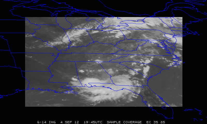
May 25 [145]
(Su) |
Routine East |
145/ 11:14:30 UTC - 147/ 11:14:00 UTC |
N/A |
. |
CIMSS blog with 3 GOES views of hurricane Amanda . |
|
.
|
|
|
|
|
|
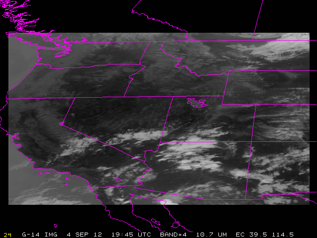
August 14 [226]
(Th) |
SRSOR (no FD) |
226/ 11:14:30 UTC - 227/ 11:14:00 UTC |
39.5N 114.5W |
Slight Risk over ID/MT |
(Enhanced) Vis loop (AZ) CIMSS Satellite Blog about Las Vegas flash flooding |
August 15 [227]
(F) |
SRSOR (no FD) |
227/ 11:14:30 UTC - 228/ 11:14:00 UTC |
39.5N 97W |
Central Plains |
(Enhanced) Vis loop (ND) from RAMMB |
August 16 [228]
(Sa) |
SRSOR (no FD) |
228/ 11:14:30 UTC - 229/ 11:14:00 UTC |
37N 97W |
Slight Risk over MO, possibe PAR synch |
(Enhanced) Vis loop (KS) from RAMMB |
August 17 [229]
(Su) |
SRSOR (no FD) |
229/ 11:14:30 UTC - 230/ 11:14:00 UTC |
37N 85W |
Mid-mississippi precip. Some missing data between 13:03 and 13:54 UTC |
Vis loop of convection (TN)--large animated gif Vis loop of convection (TN)--mp4 CIMMSE blog on the SRSOR data You Tube animation |
August 18 [230]
(M) |
SRSOR (no FD) |
230/ 11:14:30 UTC - 231/ 11:14:00 UTC |
38N 83W |
NWS requested (RAH/CHS) |
Vis loop of fog (PA) MCV over Souther Mississippi Valley SPC Mesoscale Discussion YouTube (from RAMMB) YouTube of 1 vs 15 min scanning (from RAMMB) CIMMSE blog on how the SRSOR data helped during NWS operations |
August 19 [231]
(T) |
SRSOR (no FD) |
231/ 11:14:30 UTC - 232/ 11:14:00 UTC |
18N 120W |
Tropical Depression 12 / Lowell |
Vis loop of Lowell on CIMSS Satellite blog YouTube video |
August 20 [232]
(W) |
SRSOR (no FD) |
232/ 11:14:30 UTC - 233/ 11:14:00 UTC |
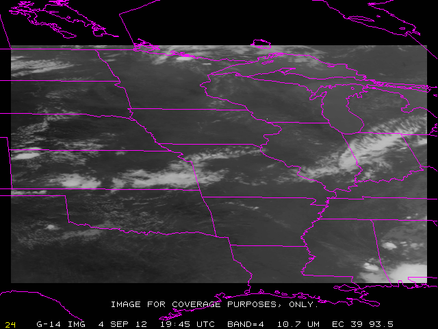
39N 93.5W |
Slight Risk over SD and OH Valley |
Dissipation of river valley fog (CIMSS blog) |
August 21 [233]
(Th) |
SRSOR (no FD) |
233/ 11:14:30 UTC - 234/ 11:14:00 UTC |
33N 85W |
HS3 Ferry Flight was cancelled |
Radar/Satellite comparison over Georgia (from RAMMB) YouTube video over FL (from RAMMB) CIMSS blog post of thunderstorms over FL |
August 22 [234]
(F) |
SRSOR (no FD) |
234/ 11:14:30 UTC - 235/ 11:14:00 UTC |
39N 98W |
Central Plains |
2 day You Tube loop over the Midwest (daytime only) |
August 23 [235]
(Sa) |
SRSOR (no FD) |
235/ 11:14:30 UTC - 236/ 11:14:00 UTC |
39N 98W |
Central Plains |
2 day You Tube loop over the Midwest (daytime only) |
August 24 [236]
(Su) |
SRSOR (no FD) |
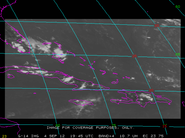
236/ 11:14:30 UTC - 237/ 11:14:00 UTC |
23N 75W |
Tropical Depression |
August 25 [237]
(M) |
SRSOR (no FD) |
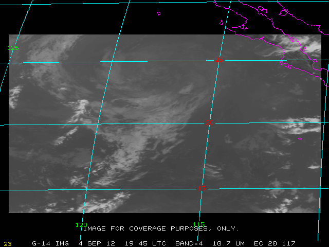
237/ 11:14:30 UTC - 238/ 11:14:00 UTC |
20N 117W |
Hurricane Marie |
Enhanced visible loop of Hurricane Marie (from RAMMB) YouTube video of Marie (from RAMMB) Capital Weather Gang blog post Enhanced visible animation (from RAMMB) CIMSS blog showing mesovortices in the eye Hurricane Marie with Lightning data (Liaison blog) |
August 26 [238]
(T) |
SRSOR (no FD) |
238/ 11:14:30 UTC - 239/ 10:14:00 UTC |
31N 72W |
Hurricane Cristobal |
HS3 location (only updates during misions) Satellite Liaison Blog with Lightning data |
August 27 [239]
(W) |
RSO sector testing |
239/ 10:14:30 UTC - 239/ 11:14:00 UTC |
N/A |
N/A |
August 27 [239]
(W) |
SRSOR (no FD) |
239/ 11:14:30 UTC - 240/ 11:11:00 UTC |
33N 70W |
Cristobal |
Cristobal visbile loop (mp4) Satellite Liaison Blog with Lightning data |
August 28 [240]
(Th) |
Routine |
240/ 11:14:30 UTC - 241/ 11:14:00 UTC |
N/A |
. |
