GOES-14 SRSOR: Mesoscale Convective Vortex in the Southern Mississippi Valley
The GOES-14 satellite was in Super Rapid Scan Operations for GOES-R (SRSOR) mode providing 1-minute imagery over the eastern US on 18 August 2014. From the late morning into the afternoon hours, 0.63 µm visible channel images (above; click image to play animation; also available as an MP4 movie file or a YouTube video) revealed a large and well-defined mesoscale convective vortex (MCV) propagating eastward across northern Mississippi. This MCV was spawned from a thunderstorm which rapidly developed over far southwestern Arkansas during the preceding nighttime hours (beginning around 06:15 UTC: GOES-13 IR images).
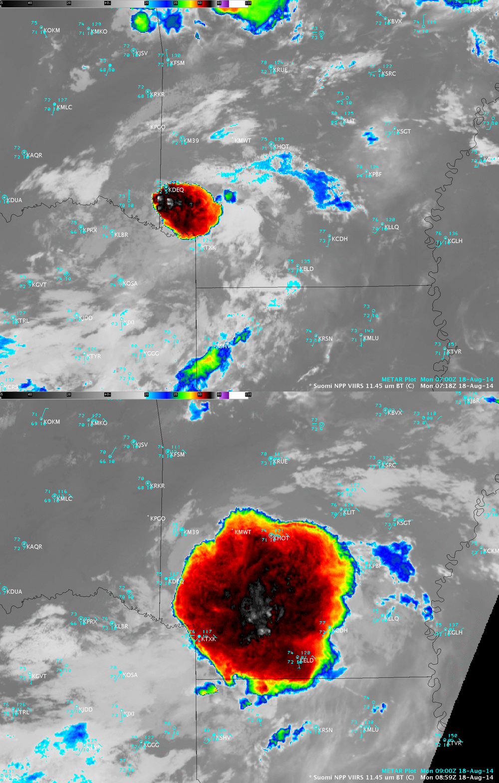
A comparison of Suomi NPP VIIRS 11.45 µm IR channel images (below) showed the rapid growth of the parent thunderstorm from 07:18 UTC to 08:59 UTC. The coldest cloud-top IR brightness temperatures were -80º C.


