GOES-14 SRSOR: from morning fog/stratus to afternoon convection
An AWIPS comparison of nighttime Suomi NPP VIIRS and POES AVHRR IR brightness temperature difference “fog/stratus product” images (above) exhibited signals of fog and/or stratus forming in river valleys straddling the West Virginia and Virginia border on 13 May 2014.
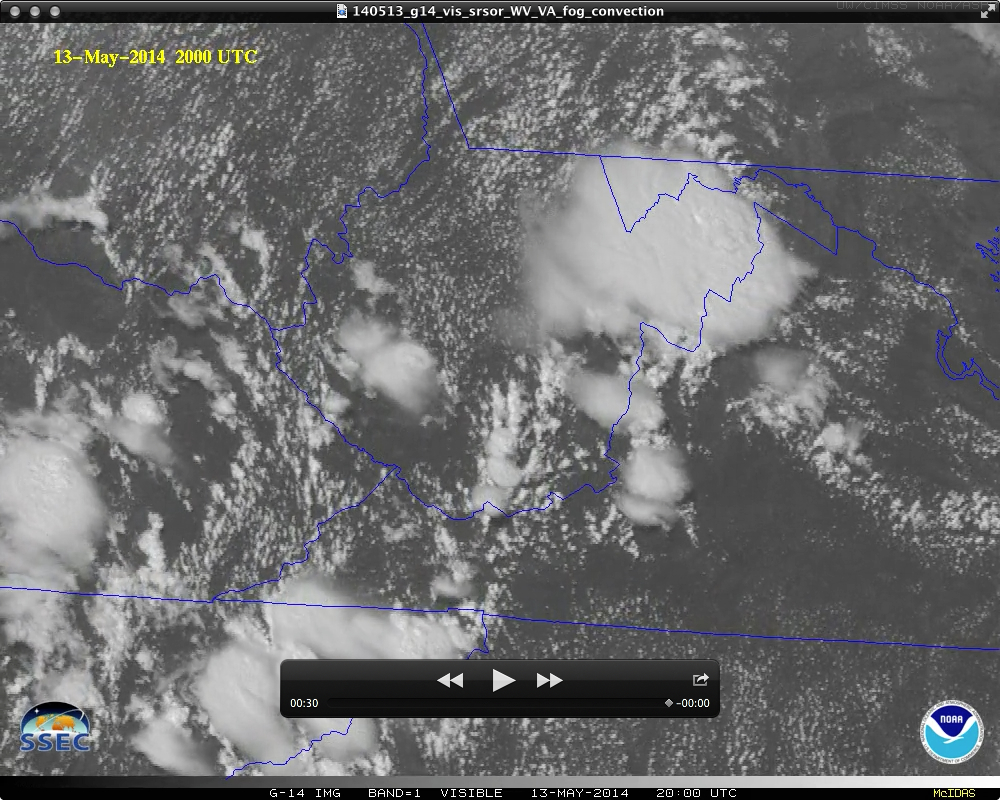
The GOES-14 satellite continued to be operated in Super Rapid Scan Operations for GOES-R (SRSOR) mode, providing images at 1-minute intervals. Early morning 0.63 µm visible channel images (below; click image to play an MP4 animation; also available as a QuickTime movie) showed the narrow fingers of river valley fog/stratus, which began to burn off as heating and mixing increased during the morning hours. There was then a rapid transition to the formation of cumulus clouds across the region, some of which became organized areas of deep convection that produced hail and damaging winds (SPC storm reports).
A 3-panel comparison showing the difference between standard or routine 15-minute interval, 5-7 minute interval Rapid Scan Operations (RSO), and 1-minute interval SRSO GOES-14 0.63 µm visible channel images (below; click image to play an MP4 animation; also available as a very large Animated GIF) demonstrated the clear advantage of higher temporal resolution for monitoring the rate of dissipation of river valley fog/stratus features, as well as subsequent convective initiation and development.
GOES-14 0.63 µm visible channel images: Standard, RSO, and SRSOR scan strategies (click to play MP4 animation)
Consecutive overpasses of the Suomi NPP satellite provided a look at the rapid rate of convective cloud development on VIIRS 0.64 µm visible channel images (below).
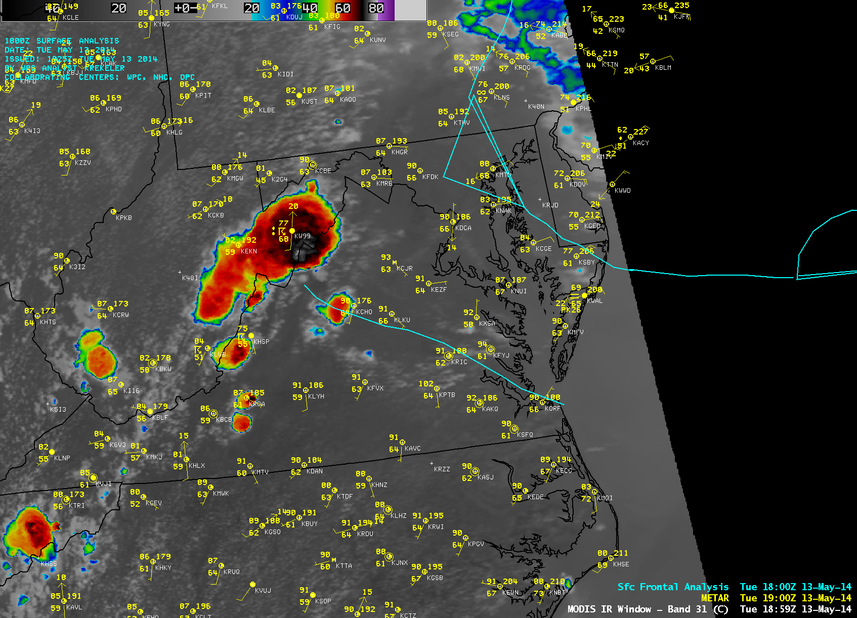
On a 18:59 UTC MODIS 11.0 µm IR channel image (below), the coldest cloud-top IR brightness temperature was -78º C near the West Virginia/Virginia border.


