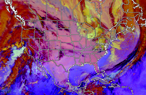
The Blue Origin New Glenn NG-2 mission launched from Cape Canaveral Space Force Station, Florida at 2055 UTC on 13 November 2025. A multi-panel display showing all 16 ABI spectral bands on the GOES-19 (GOES-East) satellite (above) revealed distinct thermal signatures in the 3 Water Vapor bands (08/09/10) at 2056 UTC, with... Read More

Multi-panel display showing all 16 ABI spectral bands of GOES-19, from 2051-2106 UTC on 13 November; KXMR denoted the Cocoa Beach rawinsonde site [click to play MP4 animation]
The Blue Origin
New Glenn NG-2 mission launched from Cape Canaveral Space Force Station, Florida at 2055 UTC on 13 November 2025. A multi-panel display showing all 16
ABI spectral bands on the GOES-19
(GOES-East) satellite
(above) revealed distinct thermal signatures in the 3 Water Vapor bands (08/09/10) at 2056 UTC, with a more subtle signature in the CO
2 band (16) and one faintly-brighter pixel in the Cirrus band (04). A signature of the rocket booster condensation cloud was evident in all 16 ABI spectral bands, closer to the coast. Unfortunately, there was no 1-minute GOES-19 Mesoscale Domain Sector coverage over that area — so only 5-minute CONUS Sector imagery was available.
A slightly longer sequence of GOES-19 True Color RGB images (below) highlighted the rapid dissipation of the rocket booster condensation cloud as it drifted eastward away from the launch site.

GOES-19 True Color RGB images, from 2051-2126 UTC on 13 November [click to play MP4 animation]
A plot of rawinsonde data from Cocoa Beach, Florida (KXMR) during the morning preceding the launch
(below) showed dry air aloft throughout much of the troposphere — which contributed to the fairly rapid dissipation of the rocket booster’s condensation cloud.
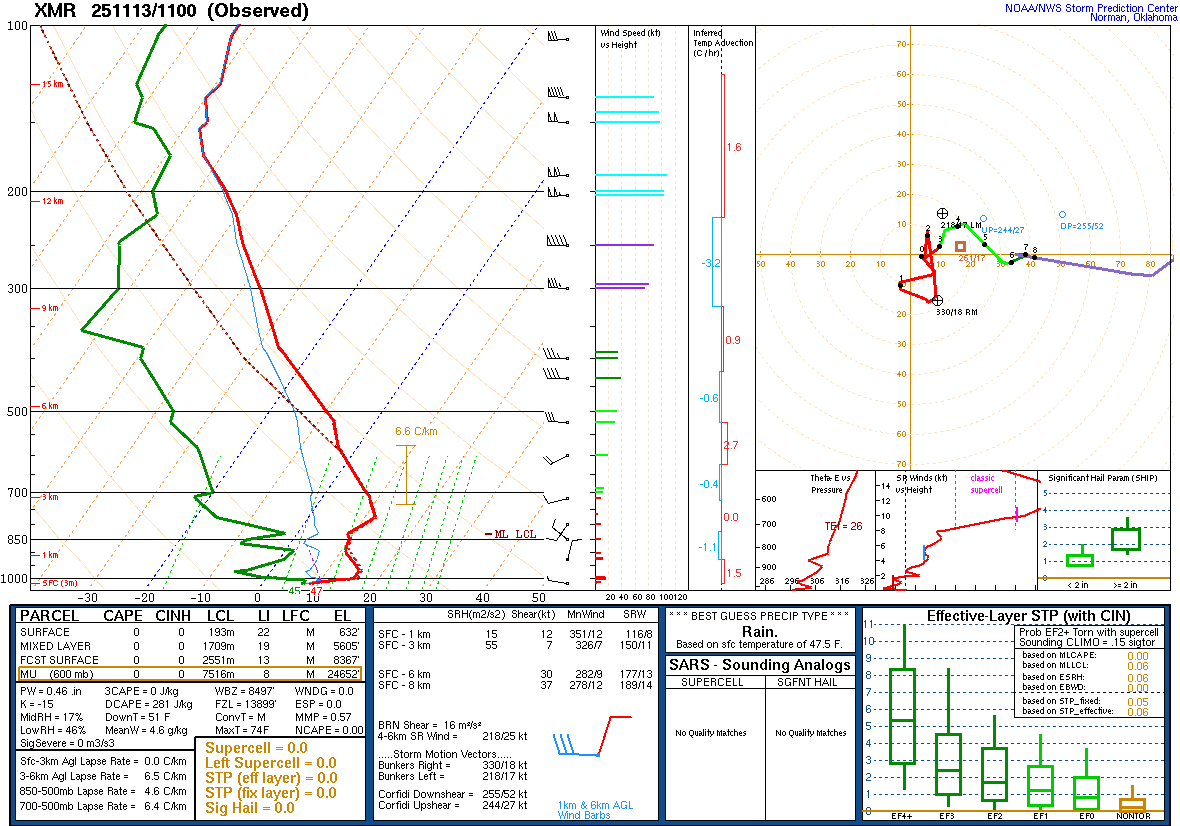
Plot of rawinsonde data from Cocoa Beach, Florida (KXMR) at 1100 UTC on 13 November [click to enlarge]
View only this post
Read Less