Wildfire in Ontario produces a large pyrocumulonimbus cloud
GOES-19 Infrared images + Fire Mask derived product [click to play MP4 animation]
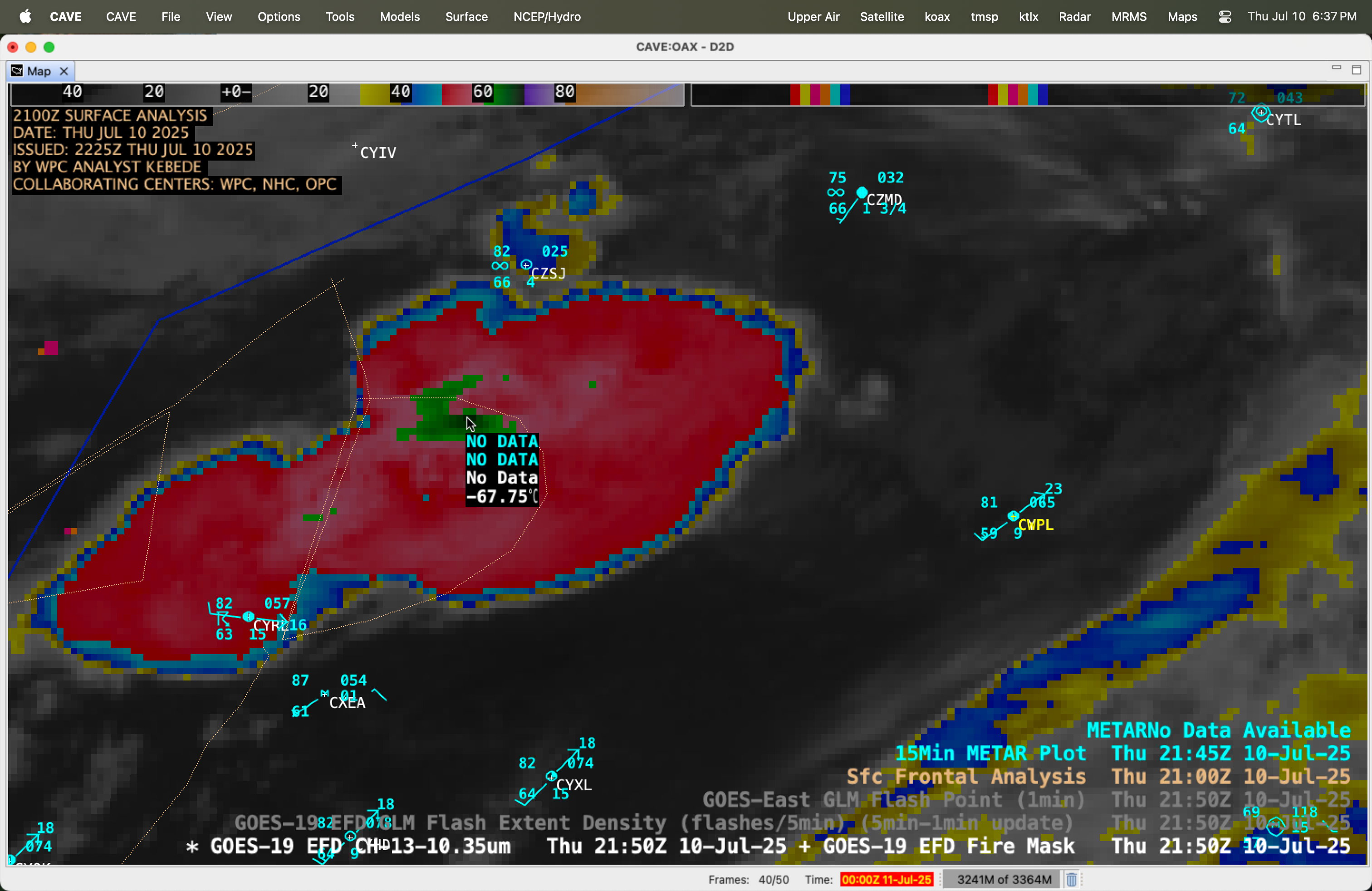
GOES-19 Infrared image at 2150 UTC on 10 July, with a cursor sample of the coldest pyroCb cloud-top infrared brightness temperature [click to enlarge]
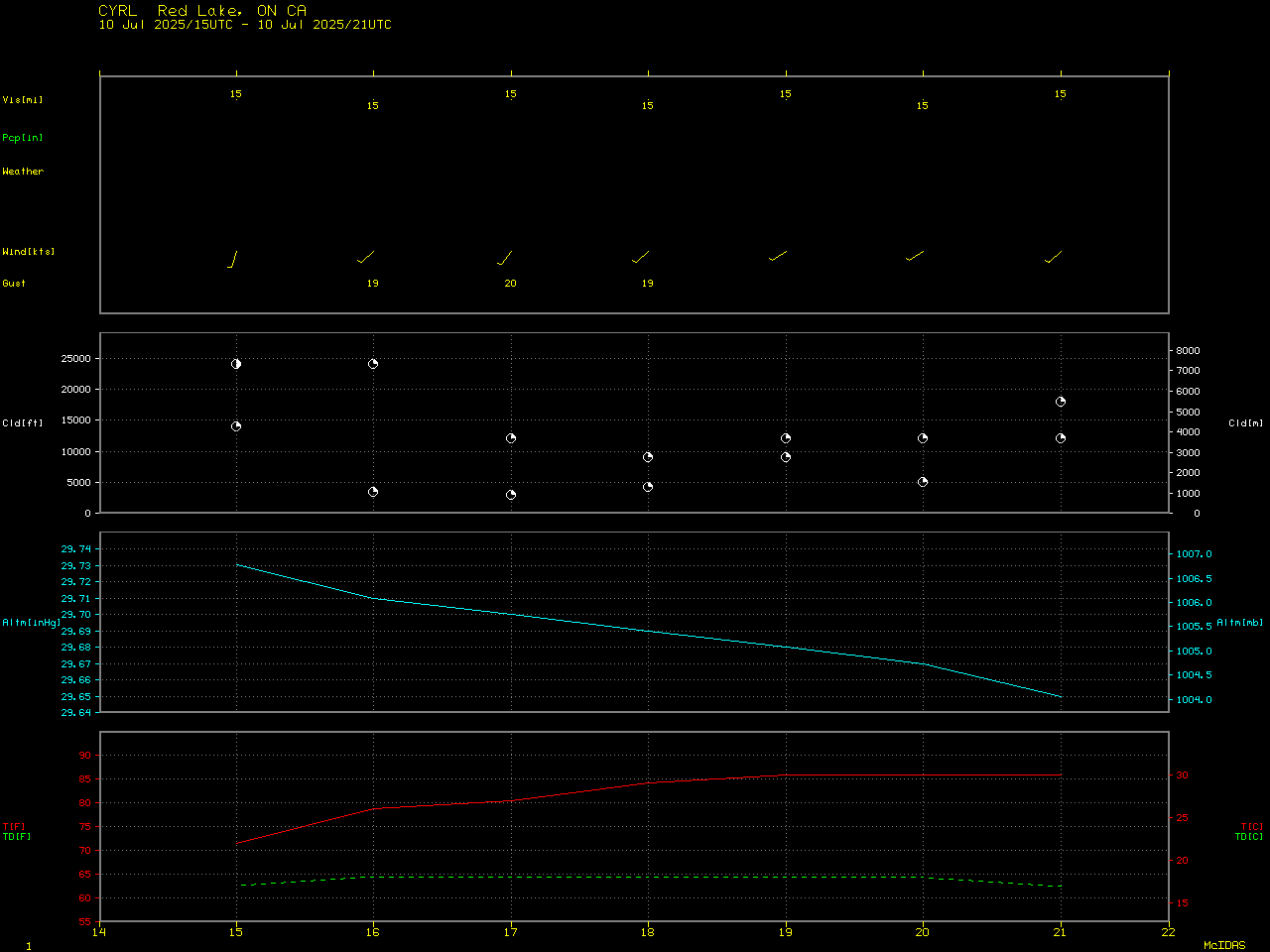
In a plot of rawinsonde data from Pickle Lake, Ontario (CYPL) at 0000 UTC on 11 July (below), the -67.75ºC cloud-top temperature corresponded to an overshoot of the Equilibrium Level (EL) / Tropopause of nearly 1 km.
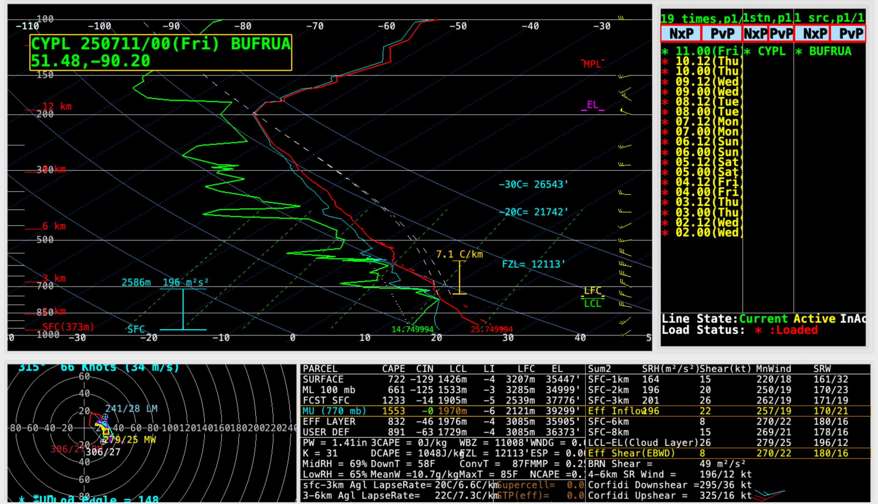
Plot of rawinsonde data from Pickle Lake, Ontario at 0000 UTC on 11 July [click to enlarge]
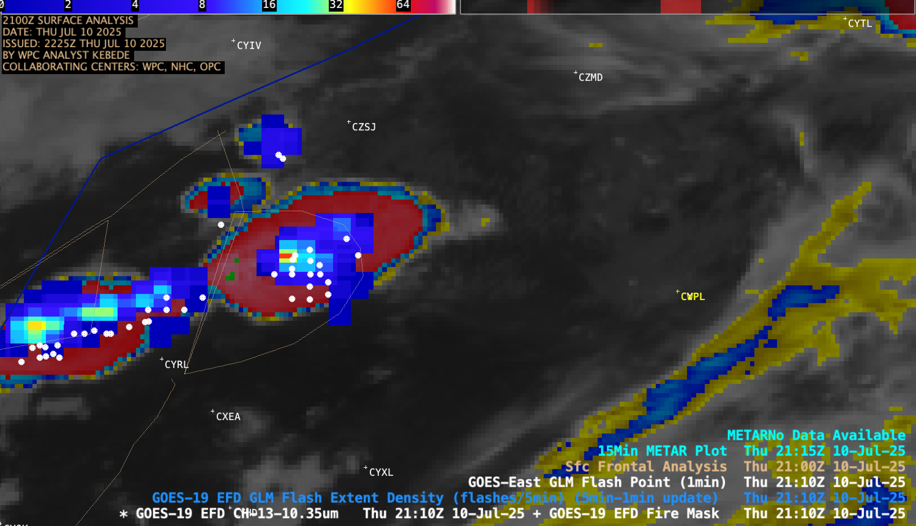
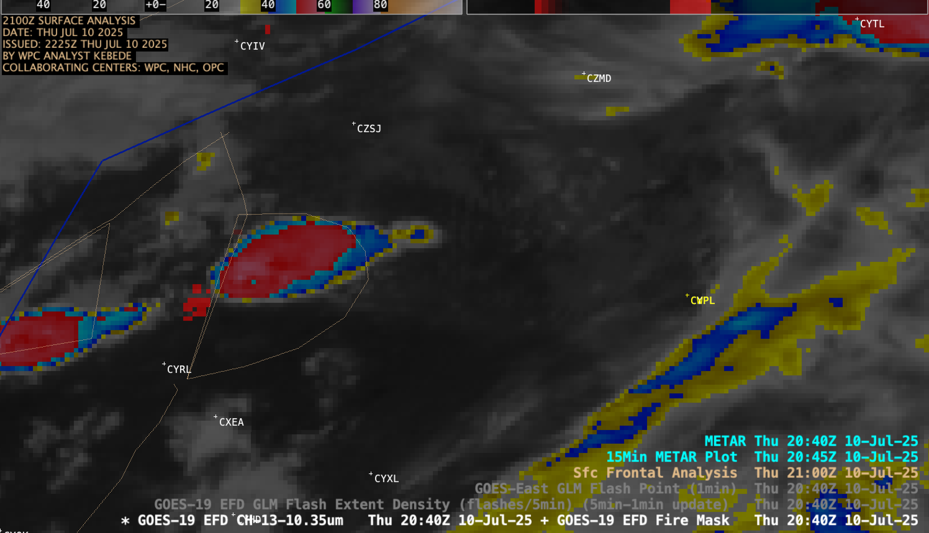
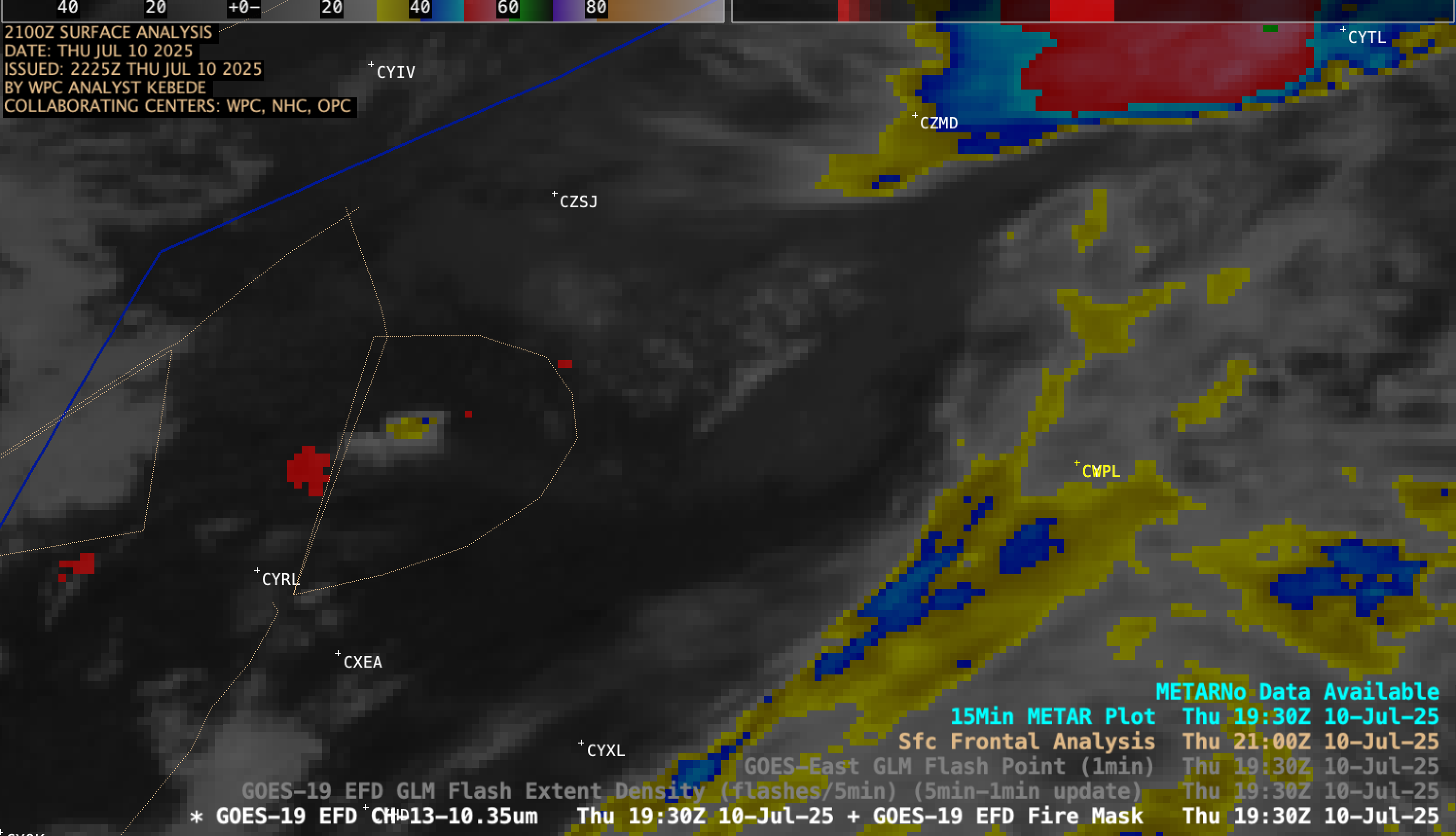
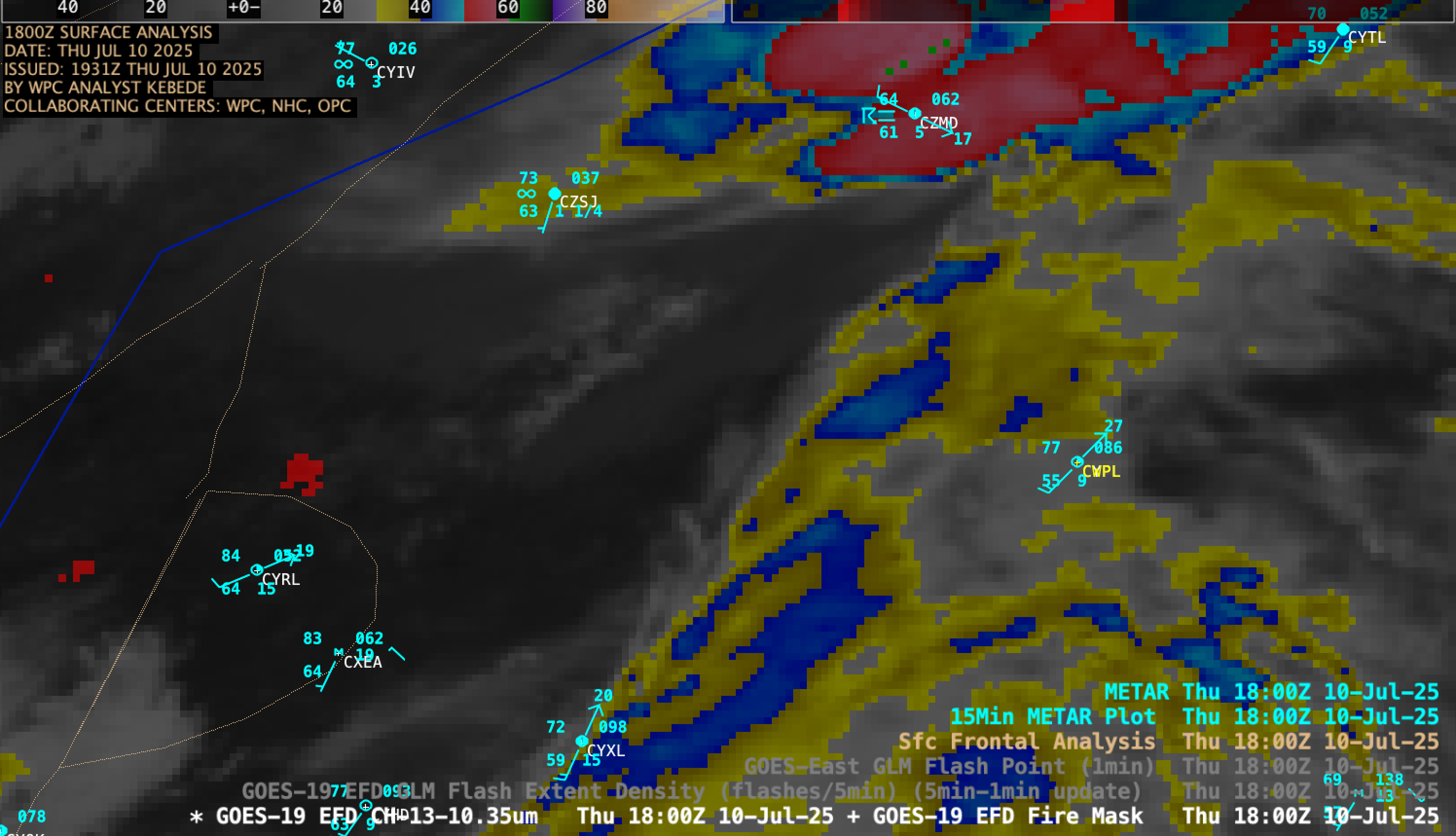
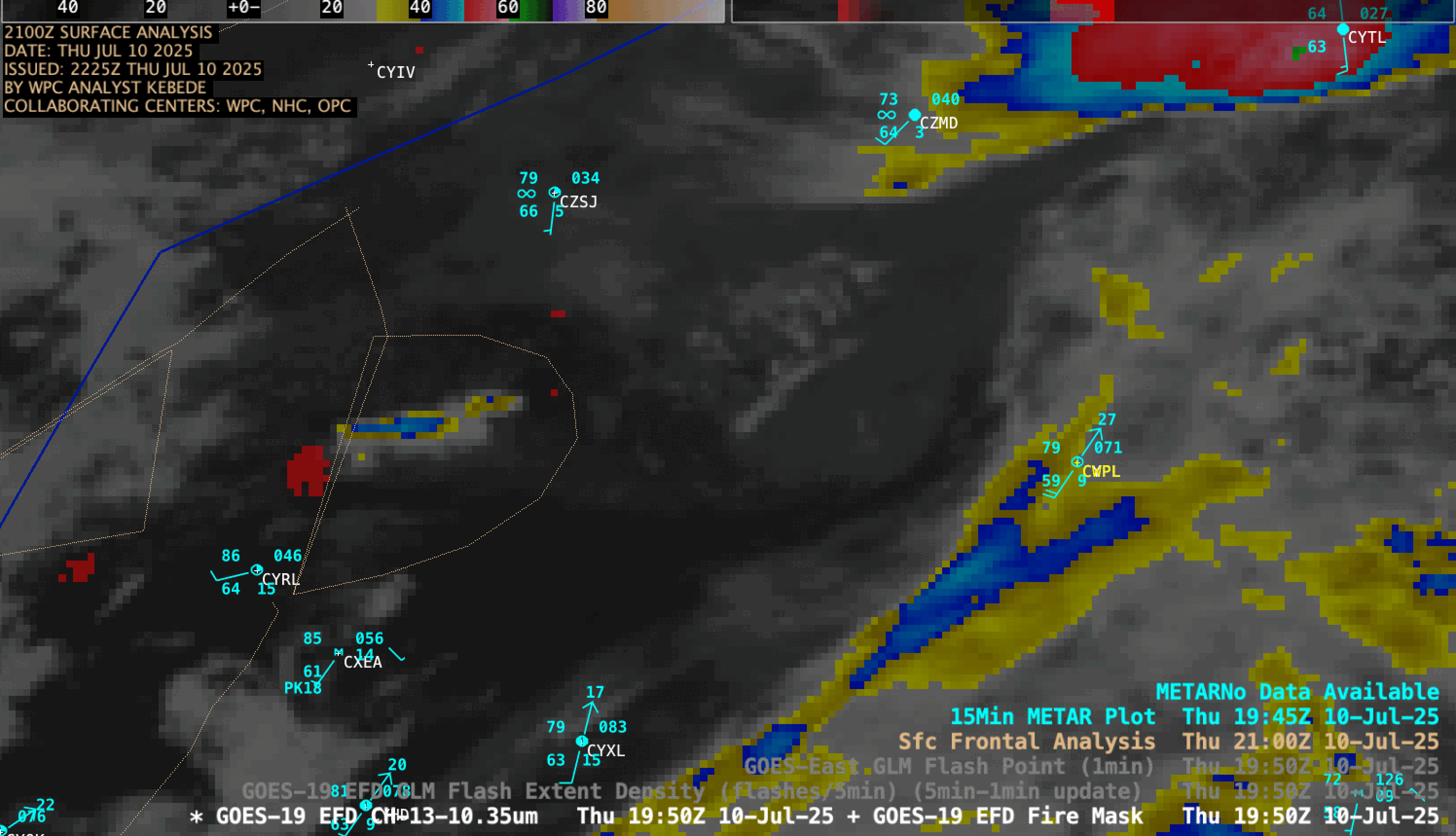
GOES-19 Infrared images + Fire Mask derived product, with an overlay of GLM Flash Extent Density and GLM Flash Points [click to play MP4 animation]
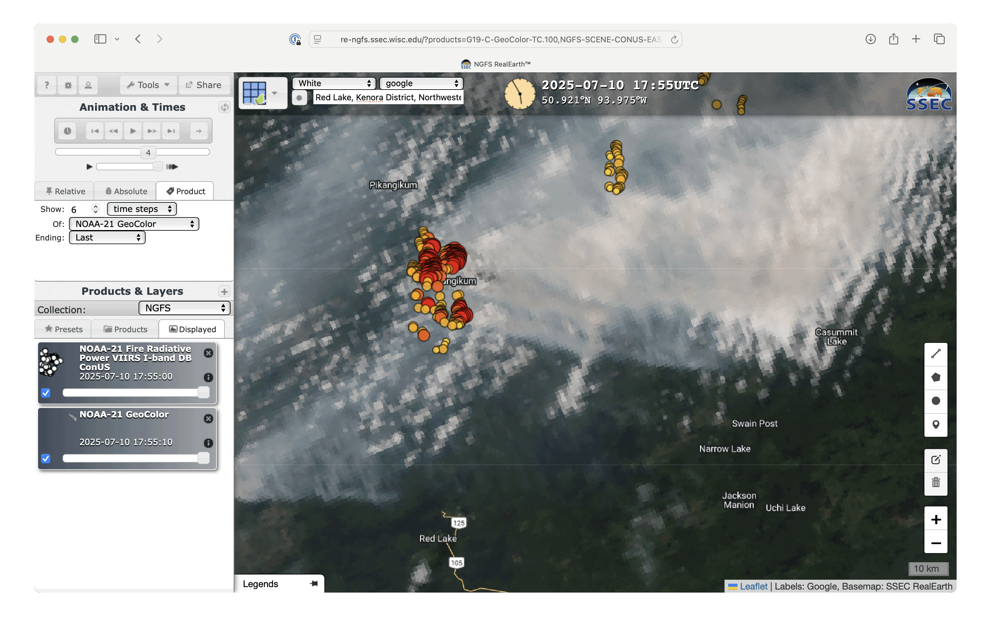
NOAA-21 VIIRS GeoColor RGB images with an overlay of NOAA-21 VIIRS Fire Radiative Power, at 1755 UTC and 1943 UTC on 10 July [click to enlarge]