")
GOES-15 10.7 µm IR images (click image to play animation)
McIDAS images of 4-km resolution GOES-15 10.7 µm IR data (above; click image to play animation) showed the transition of Tropical Depression #13 into Tropical Storm Lee in the northern Gulf of Mexico on 02 September 2011. Deep convection persisted within the eastern semi-circle of the system, with large areas exhibiting cloud top IR brightness temperatures of -80º C and colder (violet color enhancement) prior to Lee reaching tropical storm intensity.
A comparison of AWIPS images of 1-km resolution POES AVHRR 0.63 µm visible channel and 10.8 µm IR channel data (below) revealed a few vigorous overshooting tops embedded within the convective region, with one feature located southeast of the circulation center having an IR brightness temperature value of -93º C (darker violet color enhancement).

POES AVHRR 0.63 µm visible channel and 10.8 µm IR channel images
About 2 hours later, a similar comparison of 1-km resolution MODIS 0.65 µm visible channel and 11.0 µm IR channel images (below) showed overshooting tops with IR brightness temperatures as cold as -89º C.

MODIS 0.65 µm visible channel and 11.0 µm IR channel images
===== 03 SEPTEMBER UPDATE =====
")
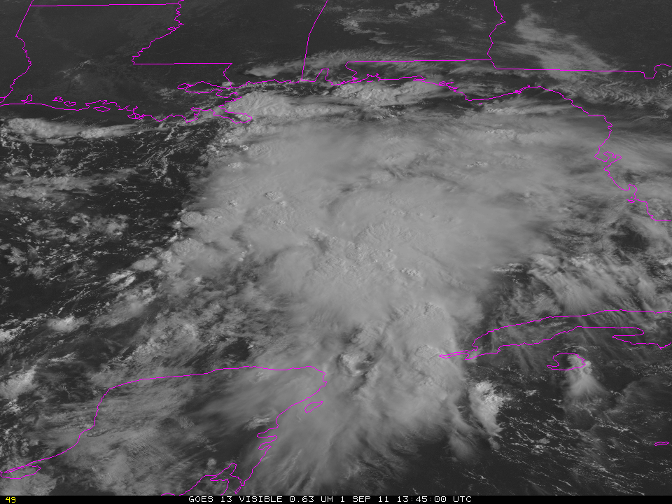
GOES-13 0.63 µm visible channel images (click image to play animation)
GOES-13 0.63 µm visible channel images (above; click image to play animation; also available as a QuickTime movie) revealed a curious “dual-vortex” structure to Tropical Storm Lee early in the day on 03 September 2011, with convective bursts developing in the vicinity of each of the two vortices. Later in the day, it appears that these dual vortices merged into a single vortex, as the center of Lee approachd the coast of Louisiana.
A comparison of 1-km resolution MODIS 6.7 µm and 4-km resolution GOES-13 6.5 µm water vapor images (below) showed that a significant tongue of dry continental air was being drawn into the western portion of the circulation of Lee.

MODIS 6.7 µm and GOES-13 6.5 µm water vapor channel images
View only this post Read Less
 images (click image to play animation)")
 used to detect Overshooting Tops")


 images")

