Hail-producing thunderstorms in south-central Wisconsin
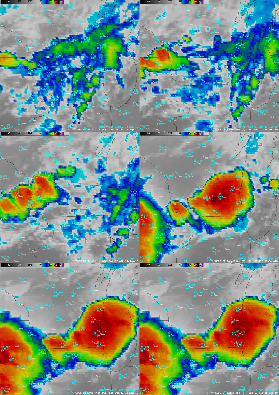
Severe thunderstorms that developed along an advancing cold frontal boundary during the pre-dawn hours of 18 September 2010, producing hail up to 1.75 inch in diameter in south-central Wisconsin (NWS Milwaukee/Sullivan news story). AWIPS images of 4-km resolution GOES-13 10.7 µm IR channel data (above) showed the development of increasingly colder IR cloud top brightness temperatures as the storms moved over the Madison, Wisconsin area (station identifier KMSN).
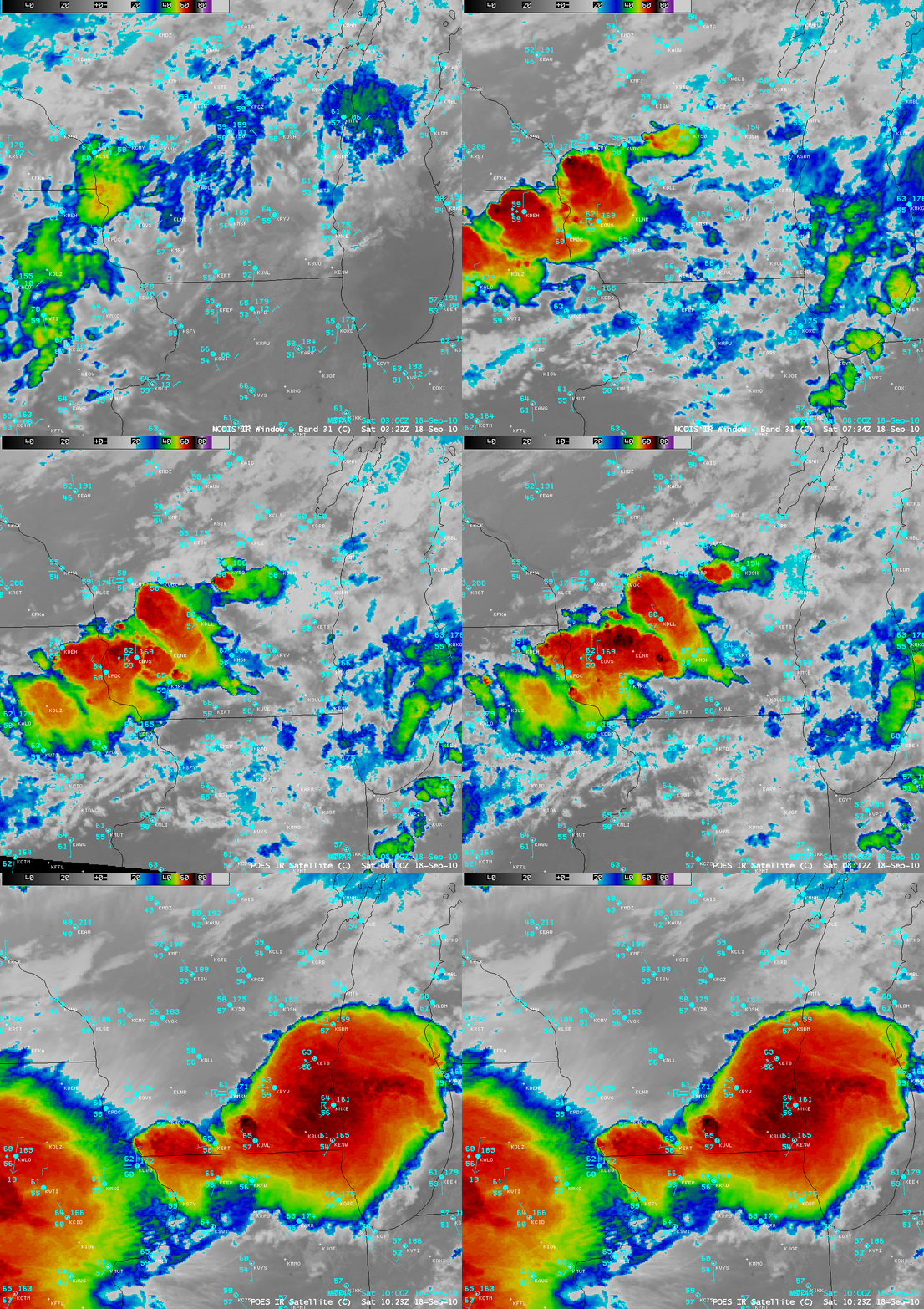
A series of 1-km resolution MODIS 11.0 µm IR and POES AVHRR 10.8 µm IR images between 03:32 UTC and 10:23 UTC (below) displayed greater detail in the cloud top brightness temperature structure as the thunderstorms moved southeastward across the region.


