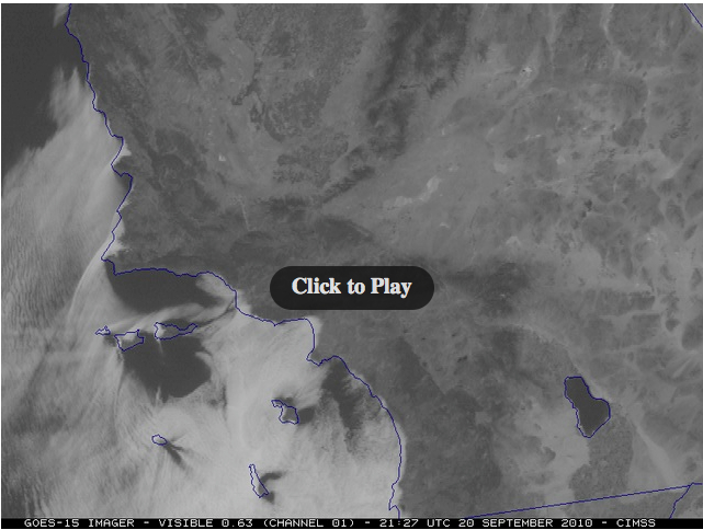
GOES-15 Super Rapid Scan Operations (SRSO) imagery: southern California stratus clouds
As part of the GOES-15 Post Launch Science Test, the satellite was placed into Super Rapid Scan Operations (SRSO) mode on 20 September 2010, providing images as frequently as every 1 minute during certain intervals of the day. McIDAS images of GOES-15 0.63 µm visible channel data (above) showed the evolution of stratus clouds along and just offshore of the southern California coast.
Satellite imagery at such a temporal scale gives a preview of what will be available in the GOES-R era, when 30-second interval SRSO image sectors will be available on a routine basis.
The location of the marine status clouds had an important impact on the daily high temperature at any given site. For example, on the GOES-15 visible image (below) you can see why Los Angeles International Airport (LAX) had a daily high temperature of only 69º F (21 º C), while just a few miles further inland, downtotown Los Angels had a high temperature that day of 80º F (27º C).


