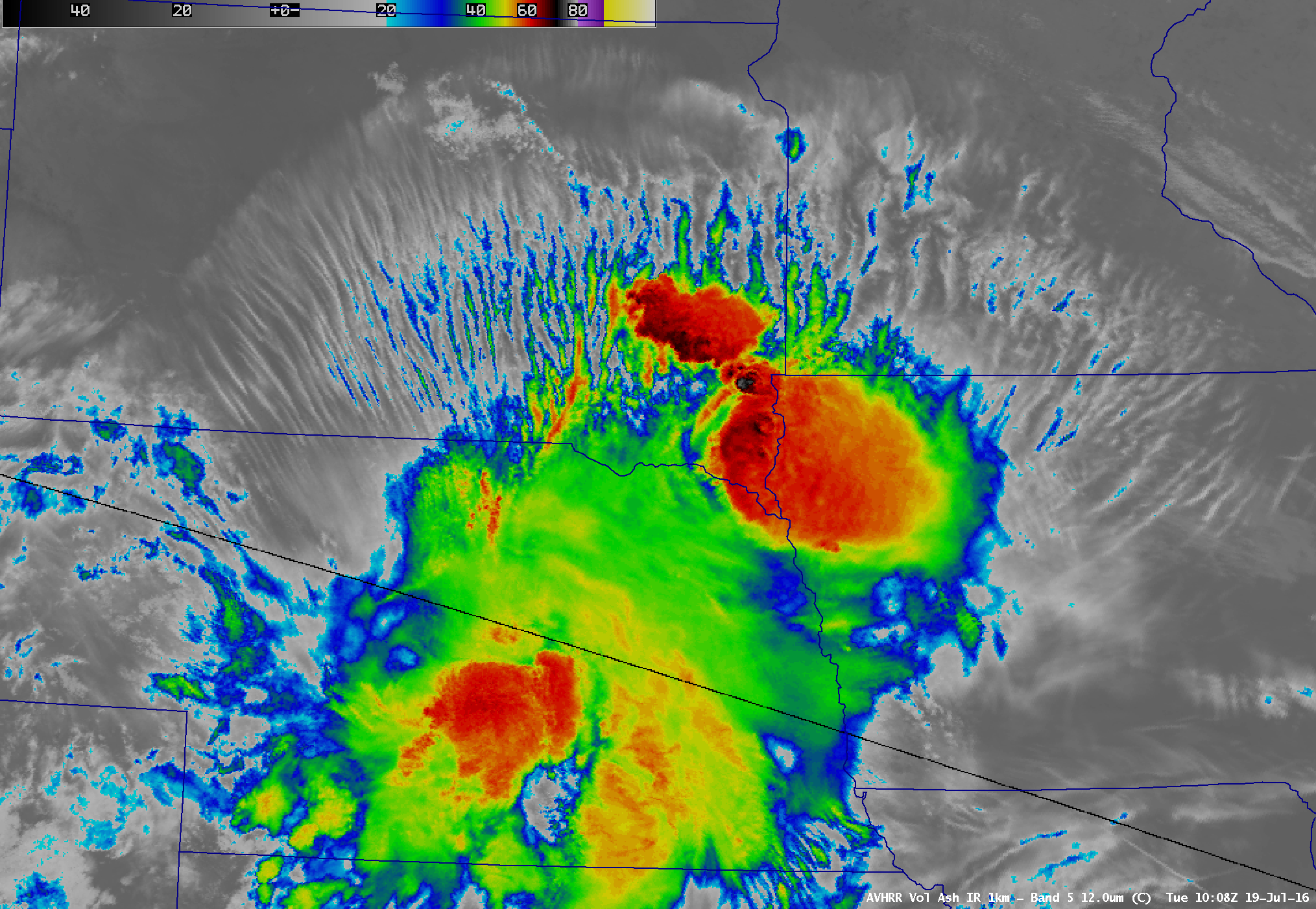
Turbulence associated with transverse banding
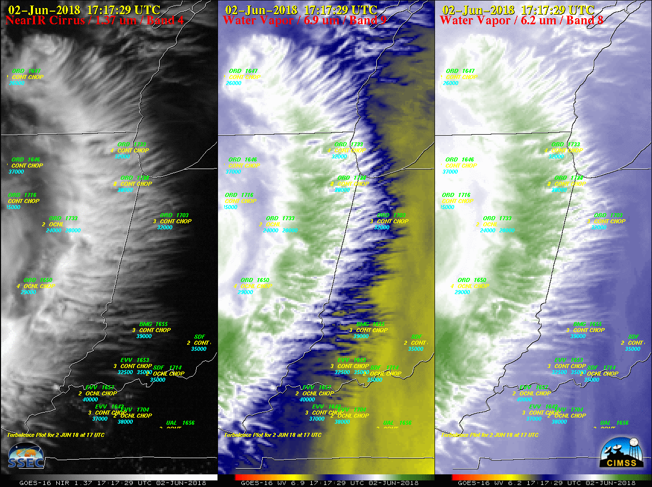
Check out the transverse banding from WI to TN ahead of the shortwave! Plenty of #turbulence pireps to go along! #aviationweather VIS loop from @CODMeteorology pic.twitter.com/YVyxwYJ6Wz — Jeremy Smith (@WX_Overlord) June 2, 2018 GOES-16 (GOES-East) Near-Infrared “Cirrus” (1.37 µm), Mid-level Water Vapor (6.9 µm) and Upper-level Water Vapor (6.2 µm) images (below) showed the... Read More