The University of Wisconsin-Madison’s SSEC Satellite Data Services added NOAA GOES SUVI (Solar UV Imager) images, both GOES-16 and GOES-18 (pulldown menu names: SUVI GOES-18 and SUVI GOES-18) to the Geo-Browser. More on SUVI can be found at NOAA’s Space Weather Prediction Center or this site. The Geo-browser SUVI page allows for longer loops, RGB composites, and being able to save the animation.

Single Bands
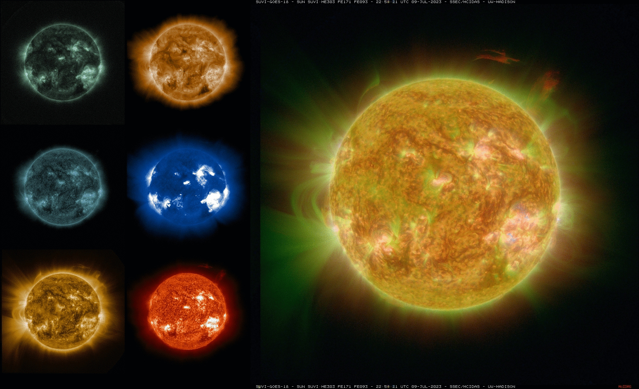
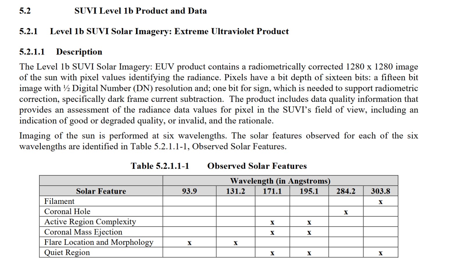
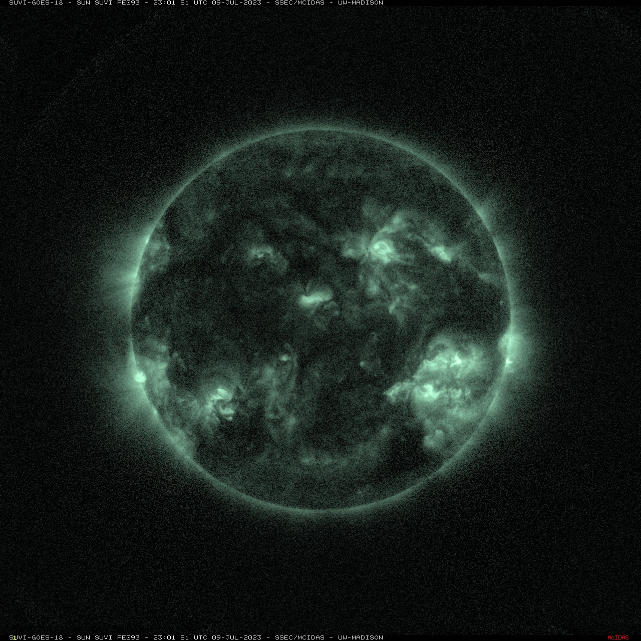
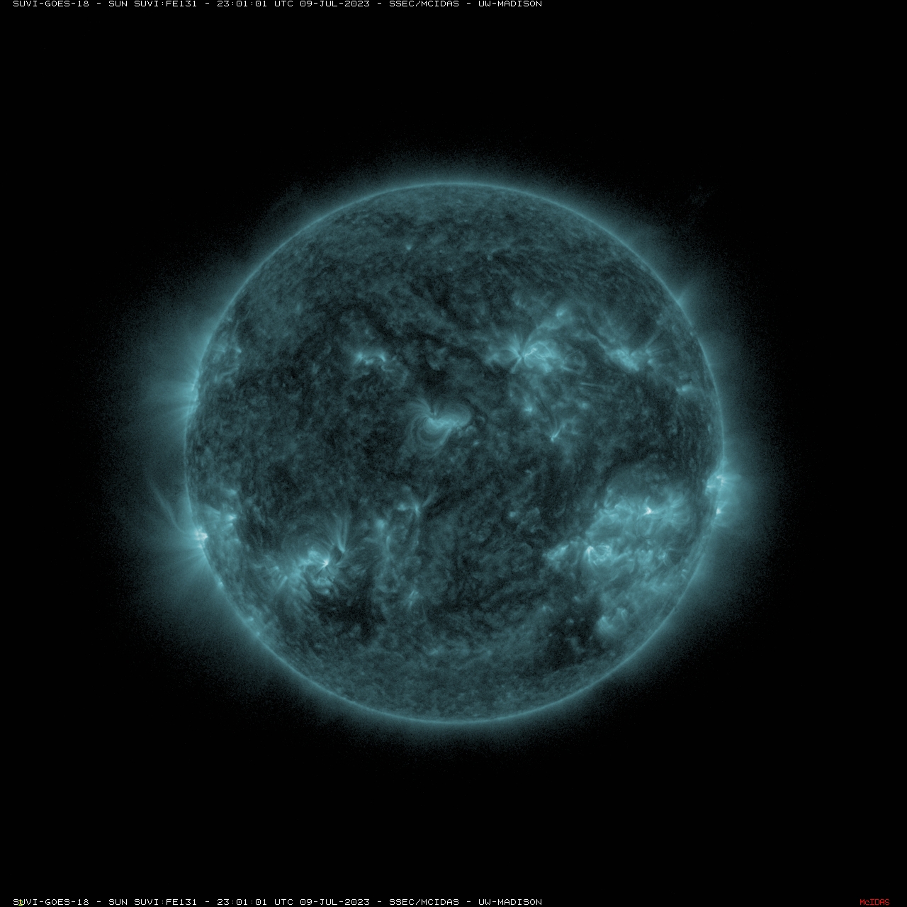
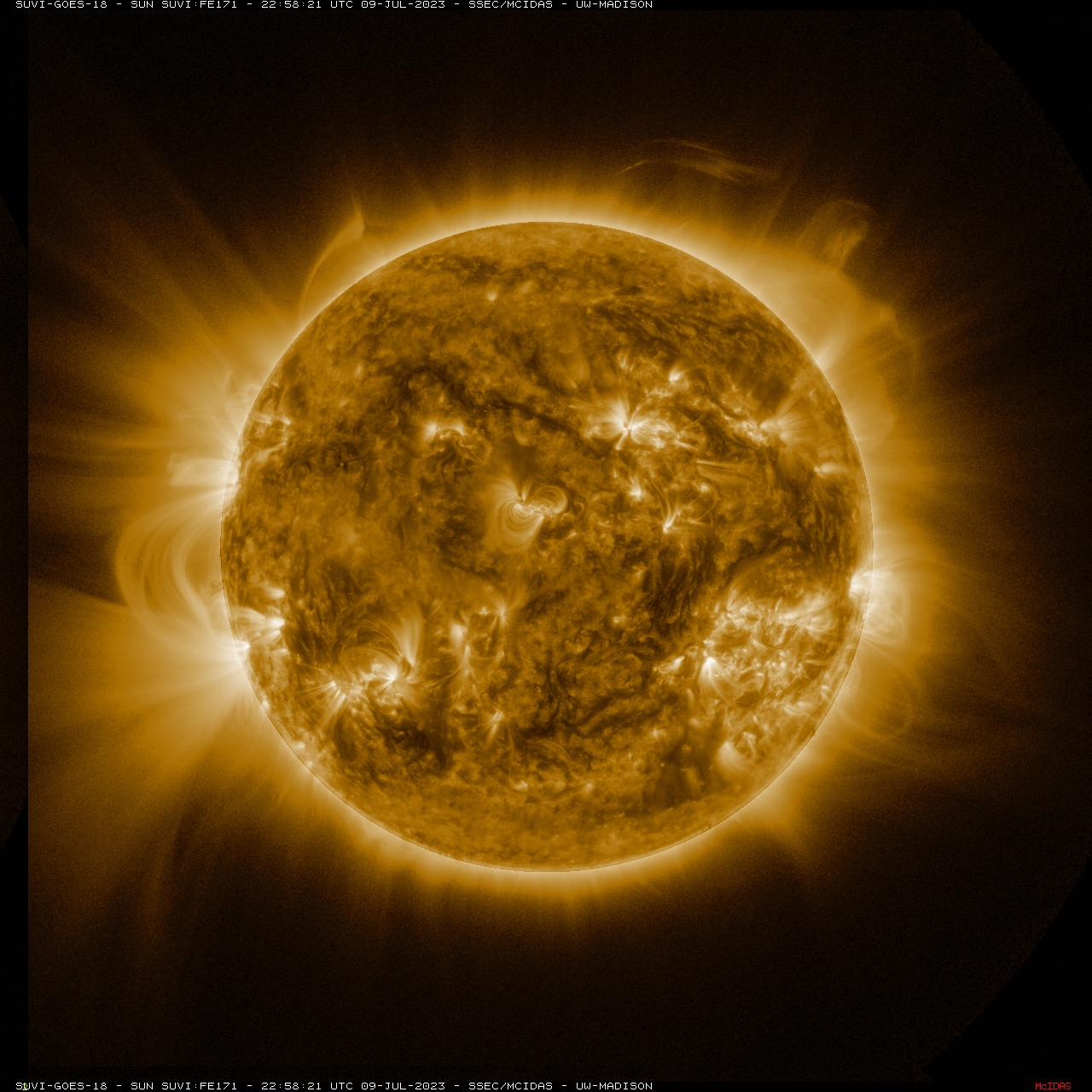
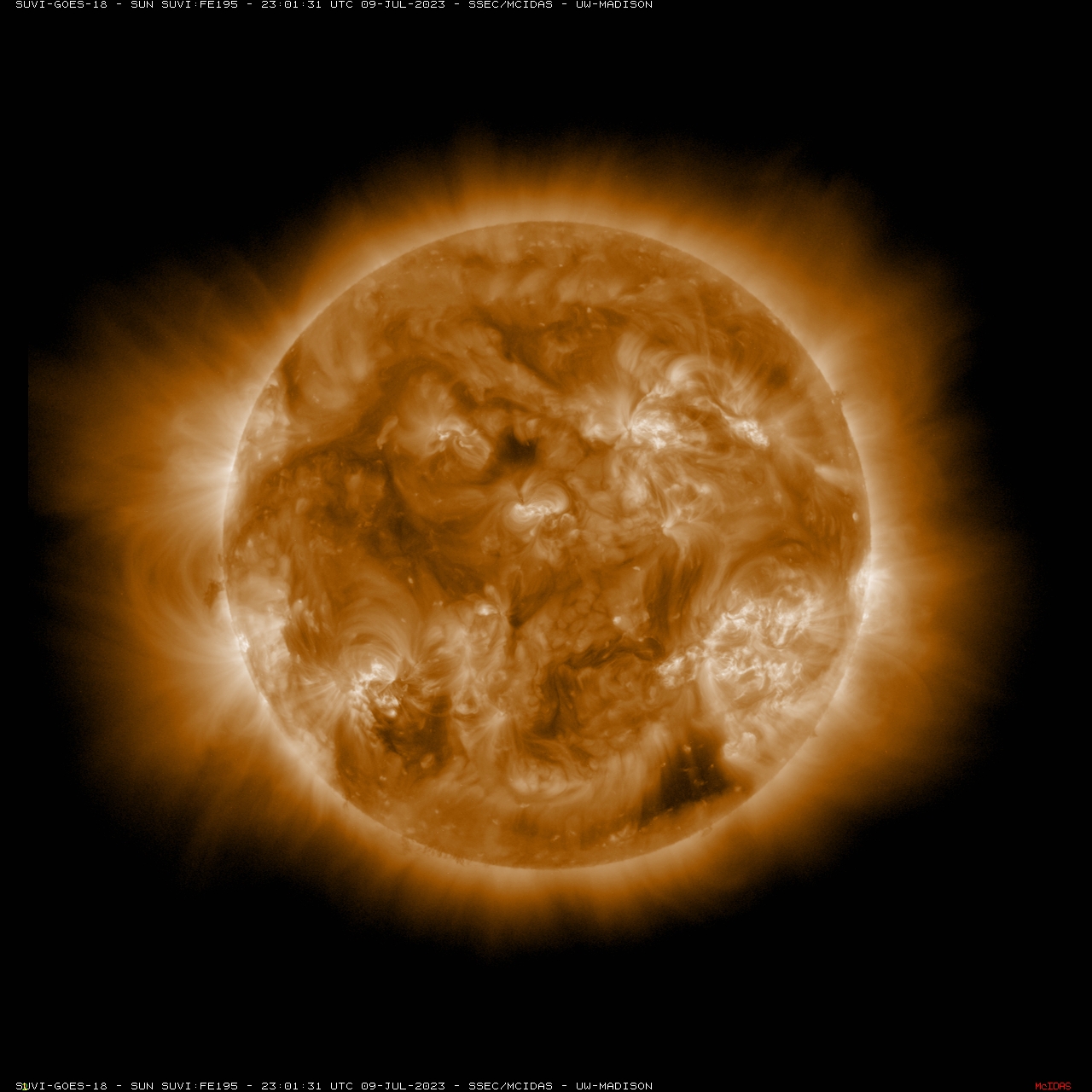
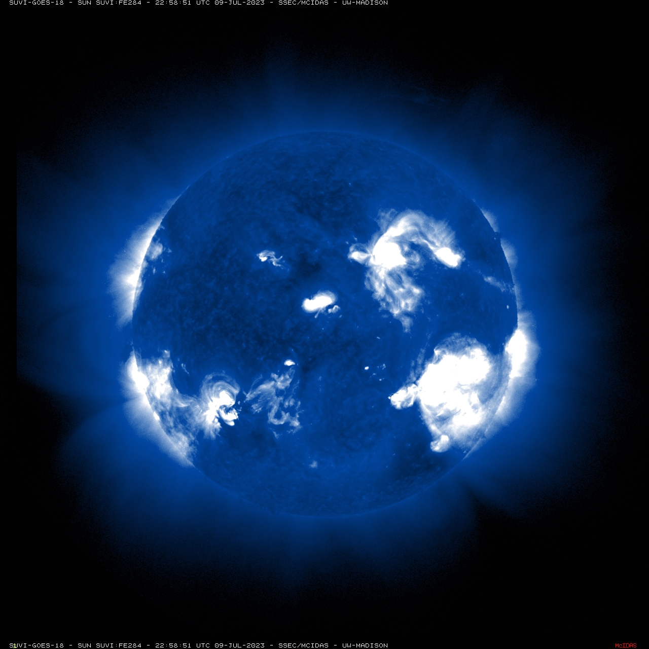
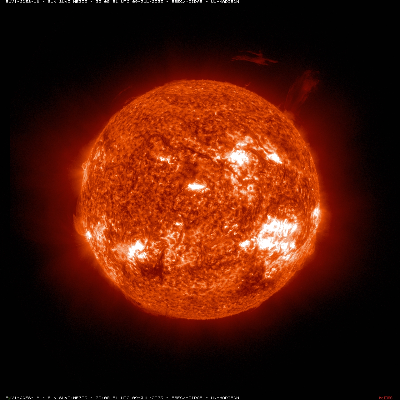
There are six spectral bands on the SUVI; this table from the Volume 3 PUG shows the various uses. These images, built from the GRB data stream, include the six spectral bands.
Loops (mp4) of the other SUVI bands: 1, 2, 4, 5 and 6. As well as still image bands 1, 2, 3, 4, 5 and 6.
RGB Composites
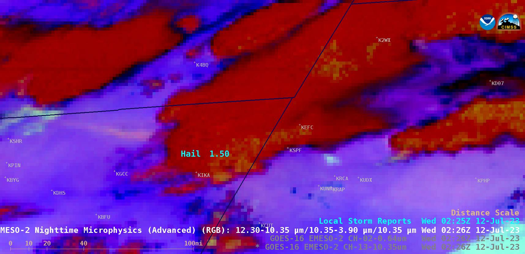
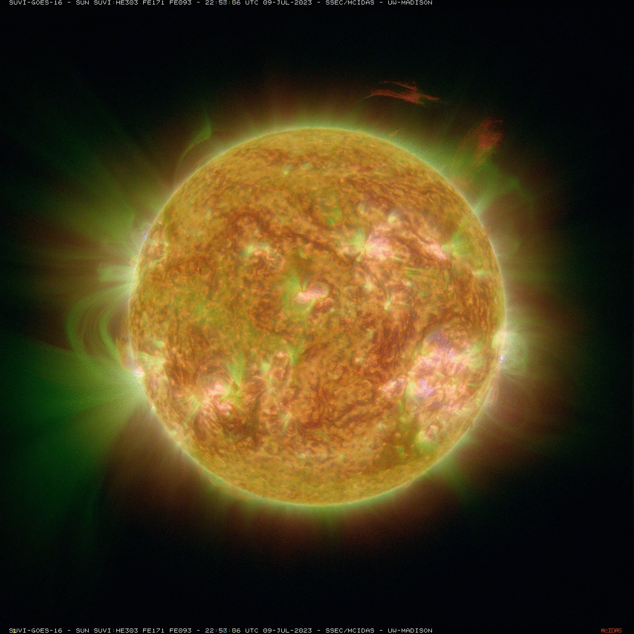
Several of the single spectral bands are combined to generate 3-band Red-Green-Blue image composites. The web page has four RGB combinations (scroll to the bottom of the “Channel” list).
A toggle between a RGB view from GOES-16 and -18.
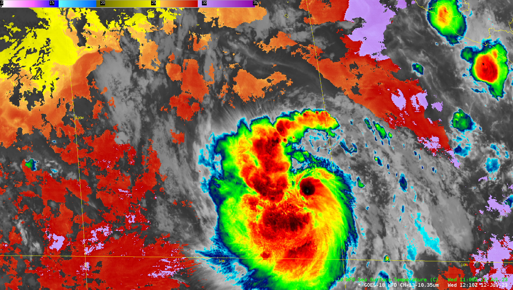
For those interested in generating unique SUVI RGB combinations, one can experiment with near realtime data and several cases.
H/T
Thanks to the UW SSEC Satellite Data Services (SDS) Team, the CSPP Geo Team, as well as the makers of the HereGOES software.
More on the GOES-R series, including imagery, data and information.
View only this post Read Less


