SAR Data over Guam (part X)

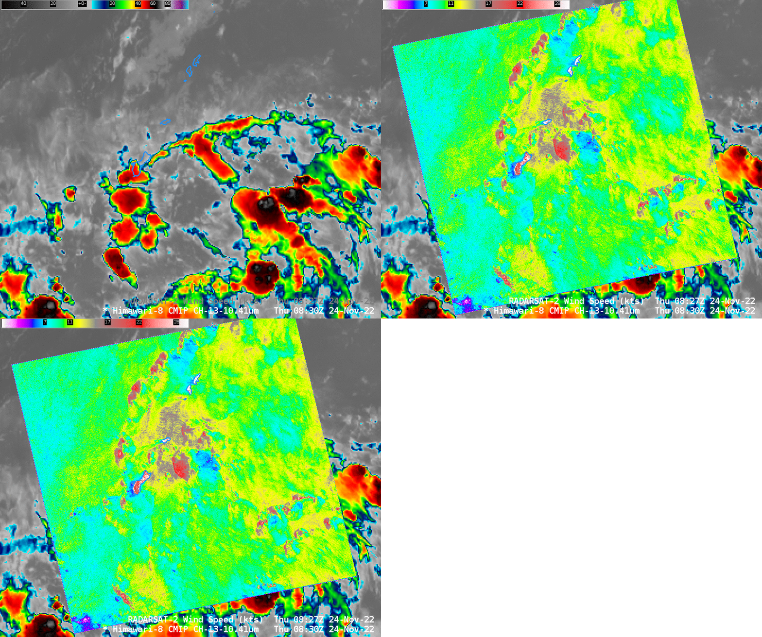
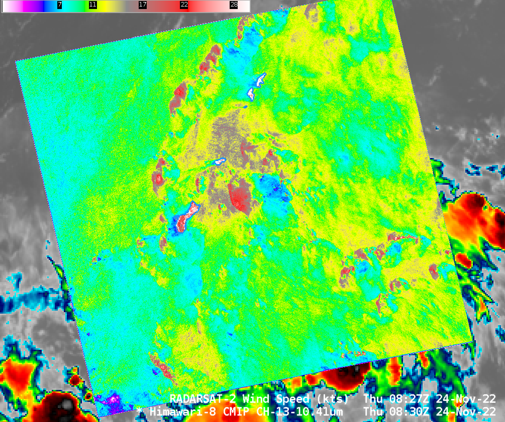
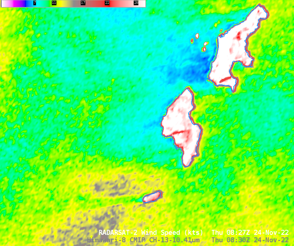
The 10th and final special RADARSAT-2 data collection of SAR winds over the Guam Area of Responsibility (AOR) occurred on 24 November, and is shown above in a toggle with the Himawari-8 Clean Window imagery at the same time (Here is the same toggle as above but with SAR data enhanced with a Beaufort Scaling, from 0-125 knots). Of note in this image is the feature with strong winds — up to 30 knots — to the west of Guam (Here’s a zoomed-in view). The curved westward edge suggests some type of outflow boundary perhaps, and the Himawari-8 imagery does show convection just to the east. Many people would be hard pressed to predict the distribution of winds in the SAR field below from the Himawari-8 imagery! The strongest winds are in a region centered on Rota — the island just northeast of Guam. It’s hard to see why that is based on the Himawari-8 Clean Window image. The arc of stronger winds from north-northwest of Guam is (at least) associated with clouds, albeit clouds with warm brightness temperatures.

Careful inspection of the imagery above (or the Normalized Radar Cross Section imagery available at this site), shows that the ships are back offshore of Saipan! They are apparent in the zoomed-in image below.

Thanks to the SAR people at NOAA/STAR for supporting these special SAR data collections near Guam!

