This website works best with a newer web browser such as Chrome, Firefox, Safari or Microsoft Edge. Internet Explorer is not supported by this website.

Archive: Thu Feb 2023

Mesoscale convective bands enhancing snowfall rates across the Upper Midwest
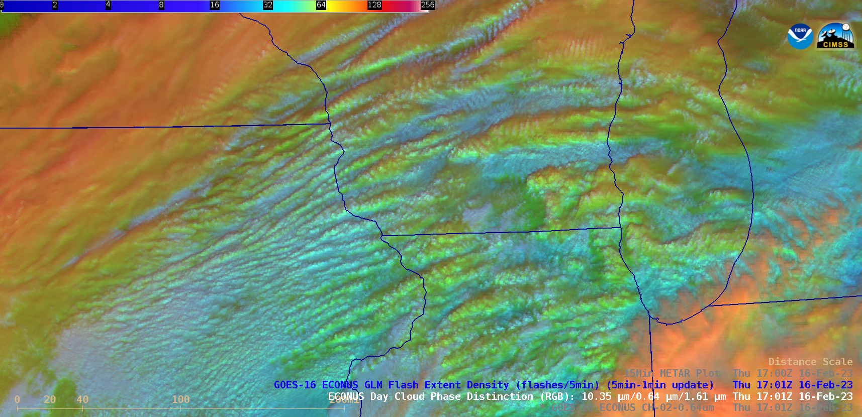
GOES-16 (GOES-East) “Red” Visible (0.64 µm) and Day Cloud Phase Distinction RGB images (above) showed widespread elevated convective banding that was helping to enhance snowfall rates — with some locations reporting 1.5 to 2.0 inches per hour — across parts of Minnesota, Wisconsin, Lower Michigan, Iowa and Illinois on 16 February 2023. There was no GLM indication... Read More

NOAA-21 sends data to Earth

NOAA’s newest satellite, NOAA-21, has started sending data to Earth with each overpass. The satellite launched 3 months ago as JPSS-2, and was renamed NOAA-21 once in orbit. NOAA-21 joins the Suomi-NPP and NOAA-20 satellites in polar orbit around Earth. CIMSS acquires NOAA-21 views of North America via Direct Broadcast... Read More

SAR Data over American Samoa, part V

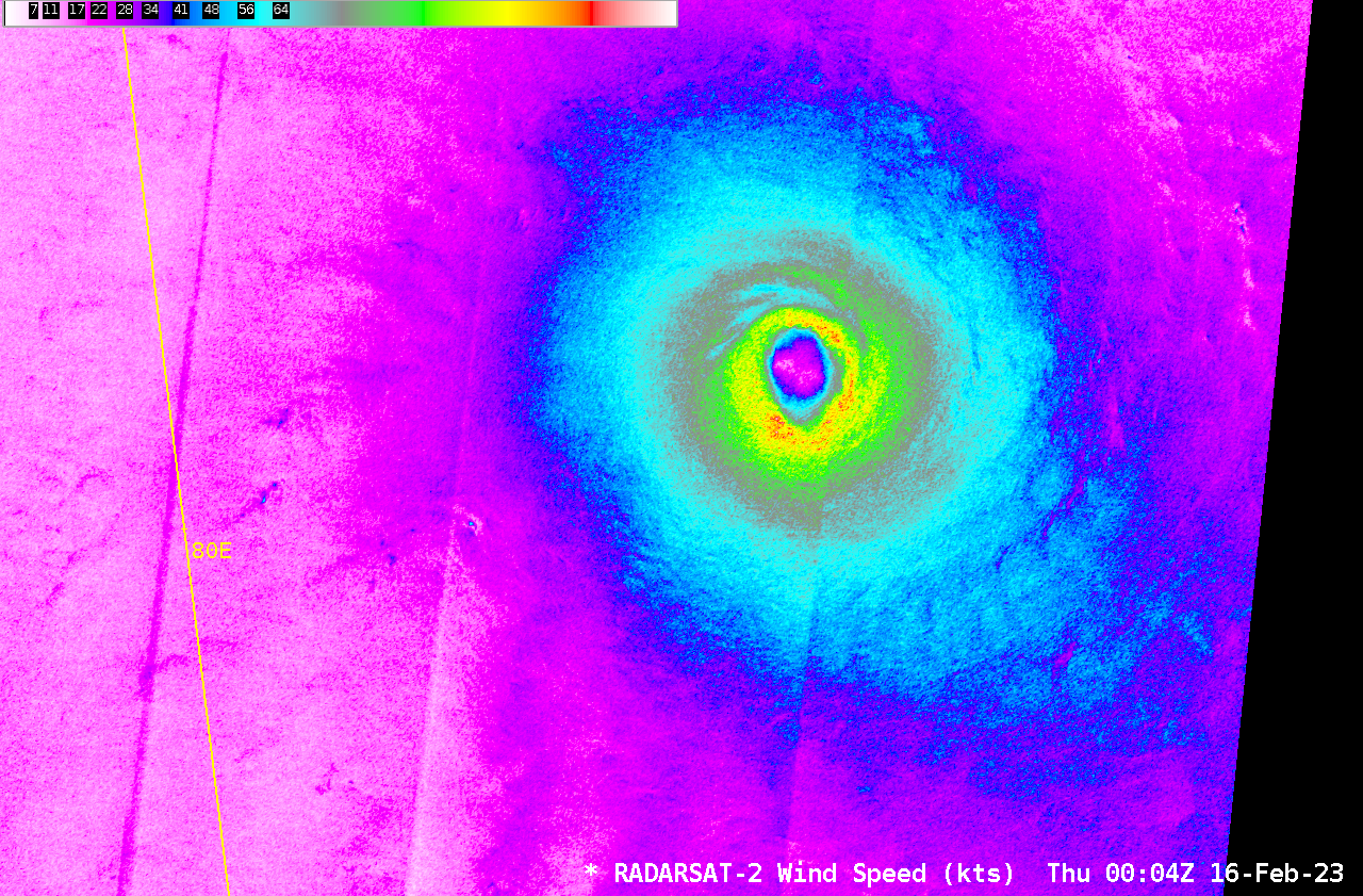
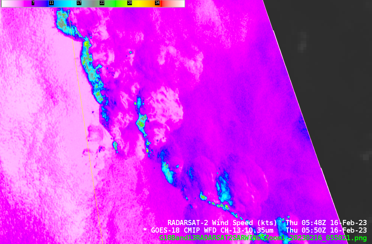
Two more SAR data collections occurred over American Samoa waters on 16 February, as shown above. (This is part of an ongoing special collection that extends through early March). As with most previous observations, winds around American Samoa were light. Consider these ASCAT observations from MetopC at ca. 2040 UTC on 16 February 2023, for example, taken from this site. Observed winds are uniformly around... Read More