Mesoscale convective bands enhancing snowfall rates across the Upper Midwest

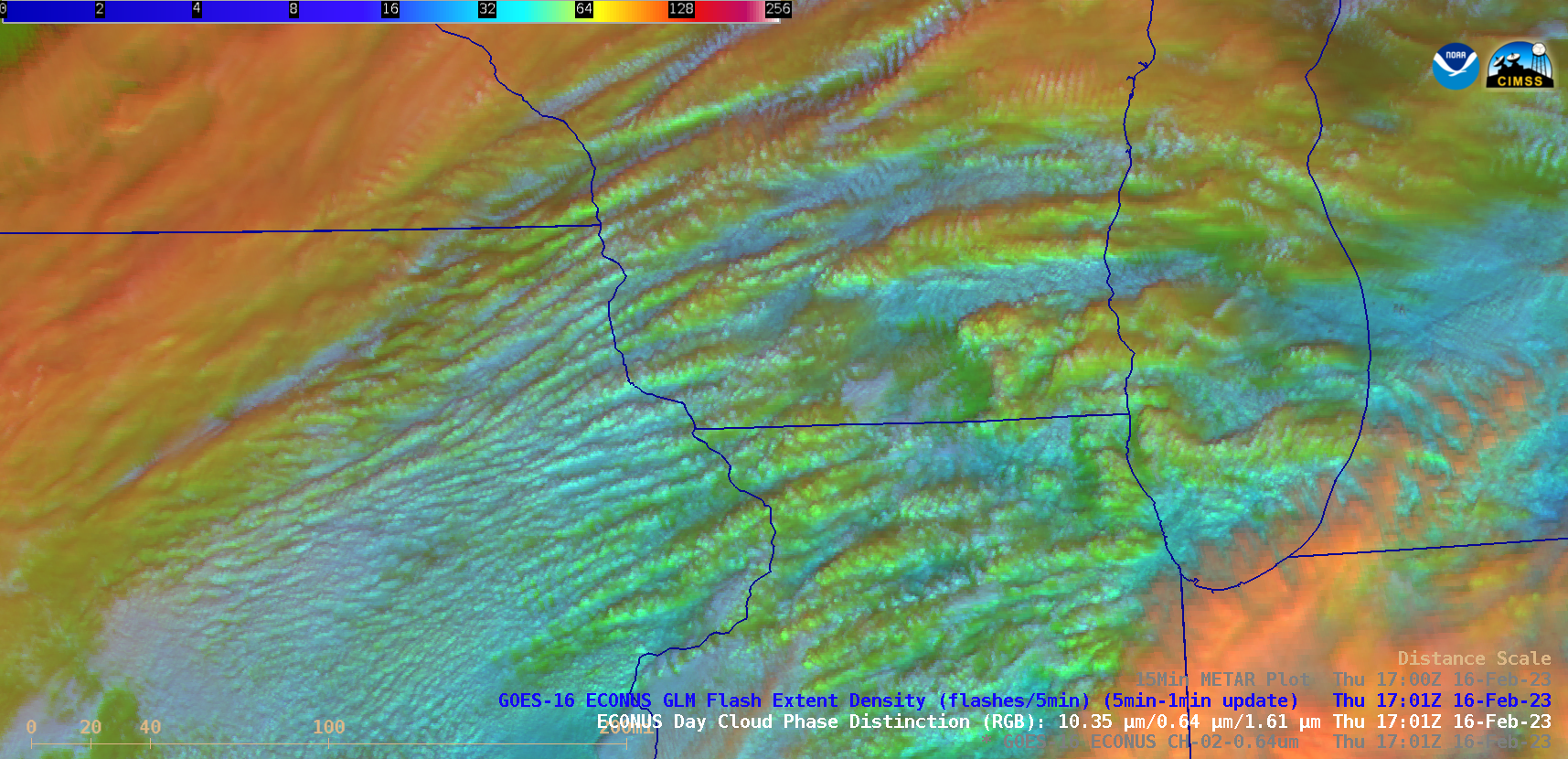
GOES-16 “Red” Visible (0.64 µm) and Day Cloud Phase Distinction RGB images, with and without plots of 15-minute METAR surface reports [click to play animated GIF | MP4]
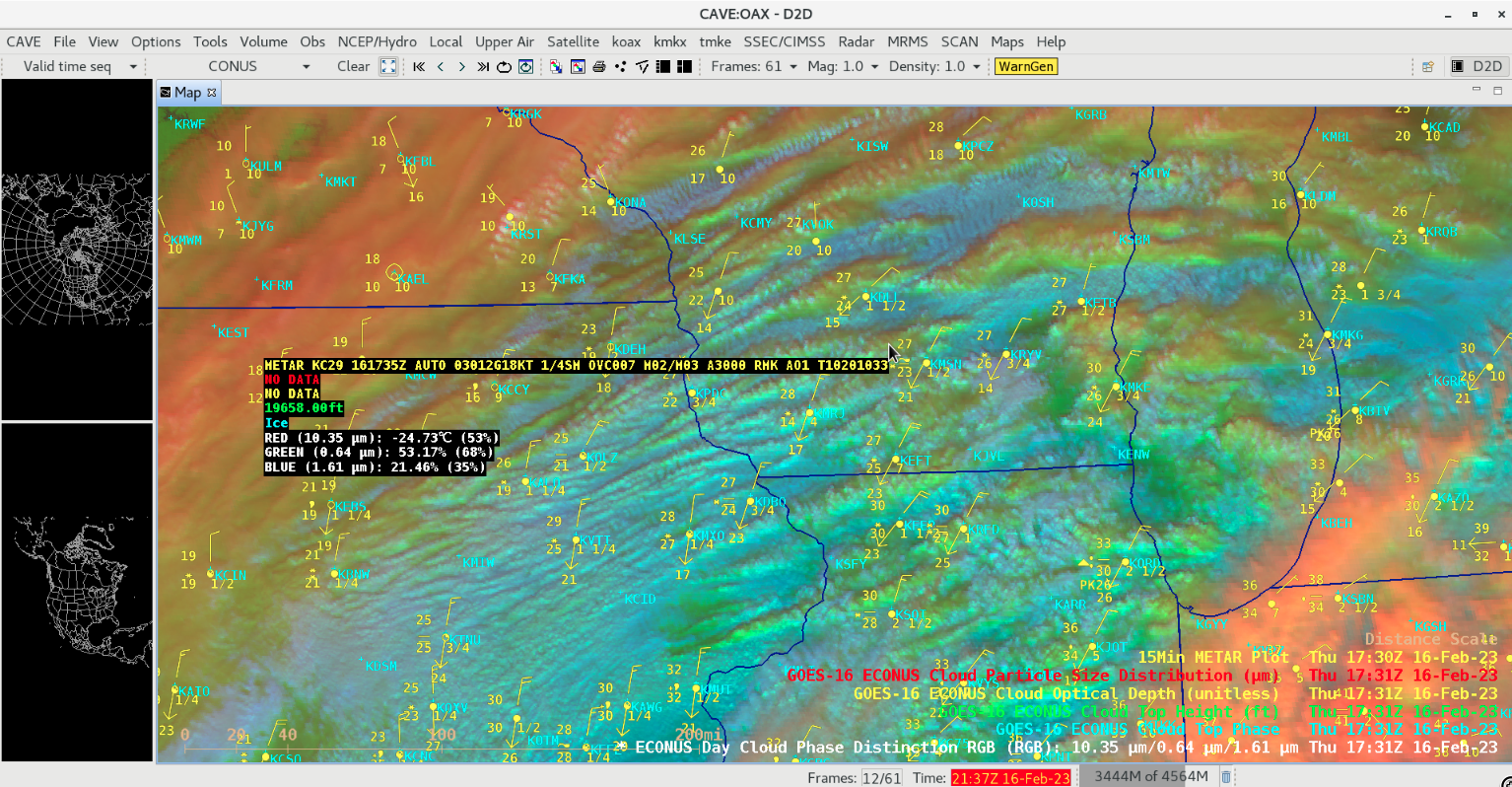
On the Day Cloud Phase Distinction RGB images, shades of yellow to green suggested that cloud tops along many of the convective bands were either glaciated or were mixed phase (composed of ice crystals and supercooled water droplets). The ability to load select GOES RGB images combined with various GOES Level 2 Derived Products (using Satellite > Local Menu Items > Satellite Sector) provides the ability to use AWIPS cursor sampling to determine specific quantitative properties associated with the various RGB shades — for example, the GOES-16 Day Cloud Phase Distinction RGB image at 1731 UTC (below) includes cursor sampling of the individual RGB components in addition to the associated Cloud Top Phase (Ice) and Cloud Top Height (19,658 feet) derived products at that cursor location, which was along a convective band that was enhancing snowfall rates and reducing the surface visibility to 1/4 mile at Middleton (KC29) just west of Madison, Wisconsin (KMSN). The GOES-16 “Clean” Infrared Window (10.3 µm) cloud-top infrared brightness temperature — the Red component of the RGB image — at that particular cursor location was -24.73ºC.


