This website works best with a newer web browser such as Chrome, Firefox, Safari or Microsoft Edge. Internet Explorer is not supported by this website.

Archive: Jan 2023

GOES-18 IFR Probability Fields now operational

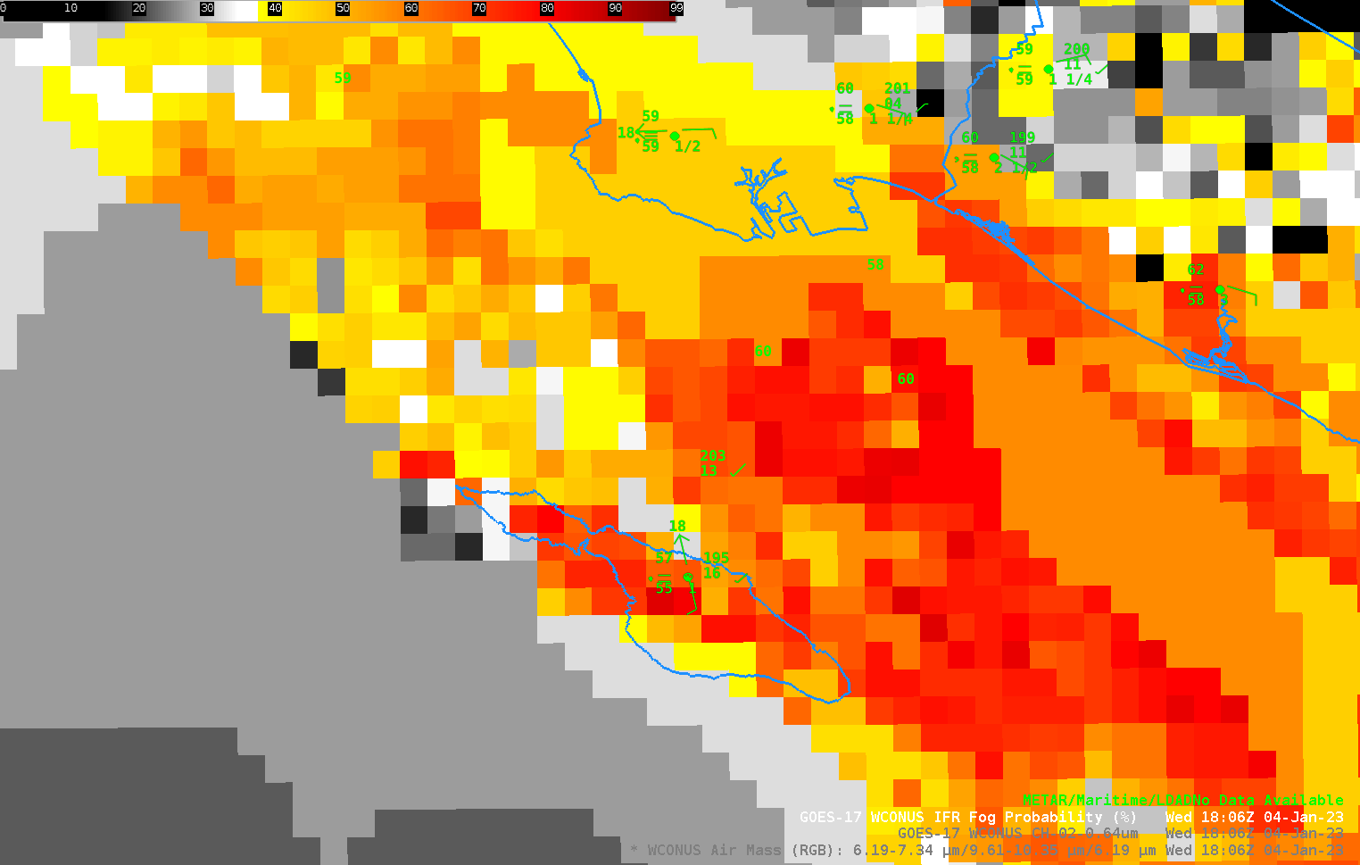
GOES-18 became the operational GOES-West satellite at 1800 UTC on 4 January. The toggle above shows the GOES-West (labeled as GOES-17, but the 1806 UTC image is using GOES-18 satellite information) IFR Probability Fields before/after the changeover. The IFR Probability field gives more useful information about surface visibility/ceiling restrictions than (for example) visible imagery (shown here) that shows widespread cloudiness at the... Read More

Thundersnow in the Upper Midwest, and 30-second imagery of severe thunderstorms across the Deep South

GOES-16 (GOES-East) Mid-level Water Vapor (6.9 µm) images with an overlay of GLM Flash Extent Density (above) covered part of a widespread winter storm event — which included thundersnow in parts of Nebraska, Iowa, South Dakota and Minnesota — that occurred on 03 January 2023. Areas that reported thundersnow experienced convectively-enhanced snowfall rates... Read More