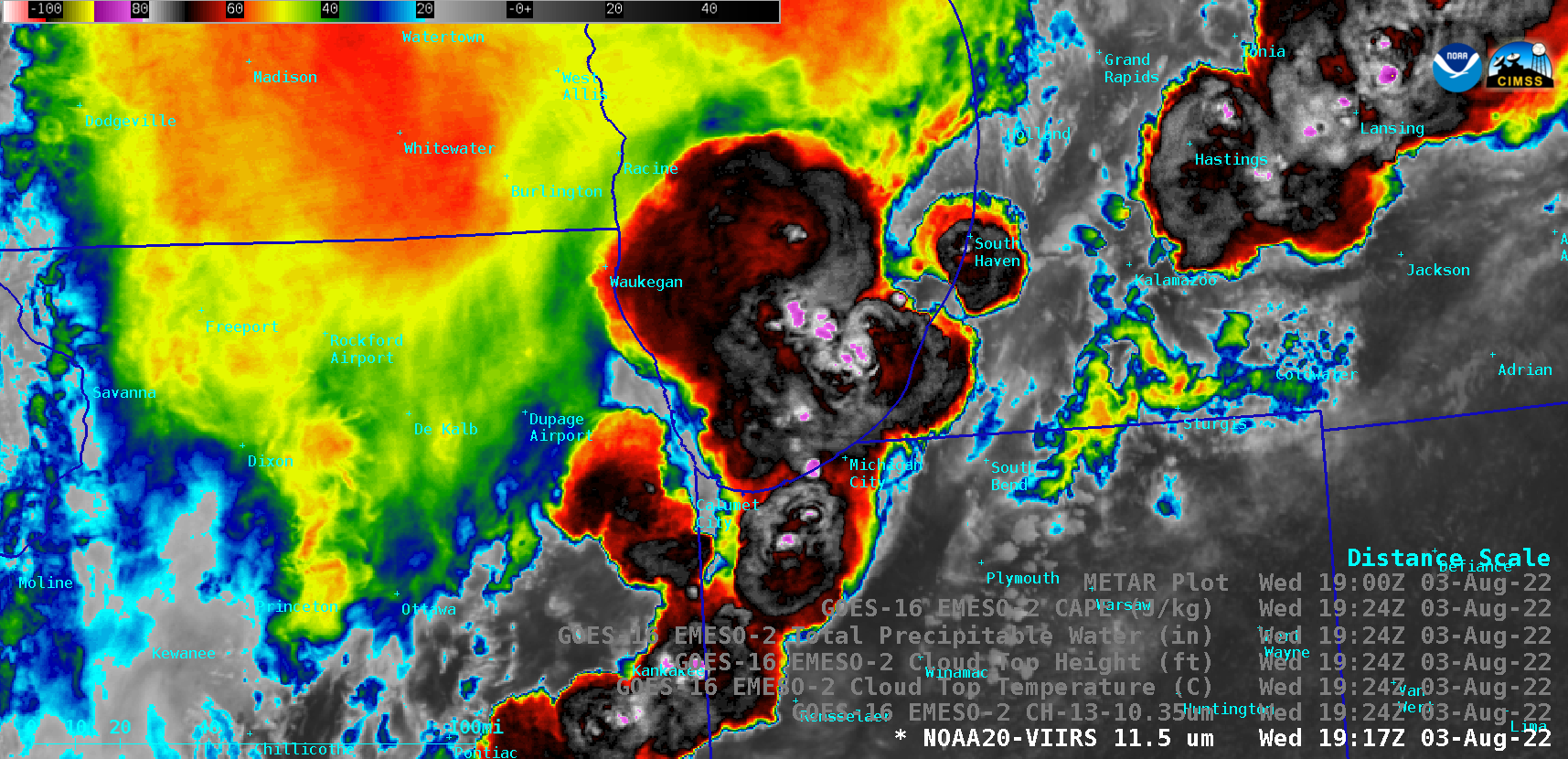
30-second imagery of severe thunderstorms across the Upper Midwest

Overlapping 1-minute GOES-16 (GOES-East) Mesoscale Domain Sectors provided 30-second “Red” Visible (0.64 µm) images (above), which included time-matched plots of SPC Storm Reports — showing clusters of thunderstorms that moved eastward across parts of Illinois, Indiana and Lower Michigan on 03 August 2022.The corresponding 30-second GOES-16 “Clean” Infrared Window (10.35 µm) images (below) indicated that the coldest... Read More


