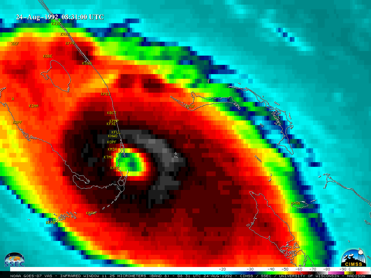
The Florida landfall of Hurricane Andrew in 1992

GOES-7 Infrared (11.35 um) images (above) showed Hurricane Andrew making landfall along the southeast coast of Florida — as a Category 5 storm — around 0831 UTC on 24 August 1992. At that time, the coldest cloud-top infrared brightness temperatures of the eyewall region were around -75ºC. These images were created... Read More


