Flooding in Tennessee
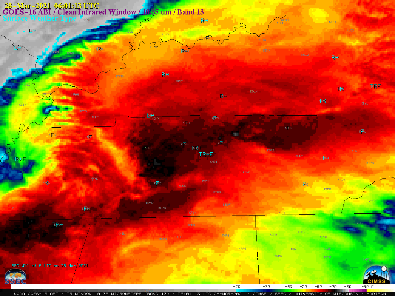
GOES-16 (GOES-East) “Clean” Infrared Window (10.35 µm) images centered on Nashville (above) displayed multiple clusters of thunderstorms that moved across Tennessee during the 27 March – 28 March 2021. The coldest overshooting top infrared brightness temperatures were in the -70 to -79C range. Precipitation ended and clouds cleared as a... Read More
