Severe thunderstorms in Arizona
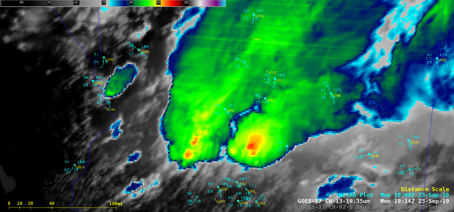
1-minute Mesoscale Domain Sector GOES-17 (GOES-West) “Red” Visible (0.64 µm) and “Clean” Infrared Window (10.35 µm) images (above) showed the development of severe thunderstorms over southern/central Arizona from 1600-1900 UTC on 23 September 2019. The far western storm exhibited a well-defined Above-Anvil Cirrus Plume (AACP) that extended northeastward from the cold overshooting top (whose coldest infrared brightness temperature... Read More
