30-year anniversary of the landfall of Hurricane Hugo

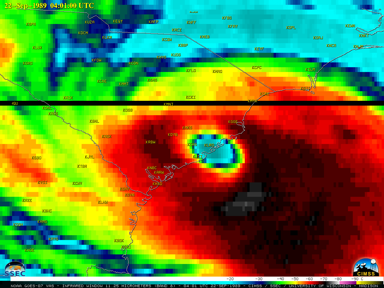
GOES-7 Infrared Window (11.25 µm) images (above) showed Hurricane Hugo as it made landfall as a Category 4 storm around 04 UTC on 22 September 1989. This GOES-7 data was accessed from the SSEC Satellite Data Services archive.A GOES-7 Visible animation from 21 September and a longer Infrared animation spanning the period 13-22 September are... Read More
