Blowing snow across the Upper Midwest
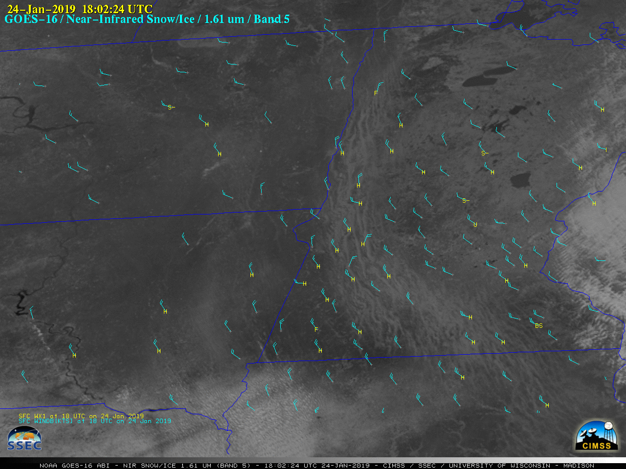
1-minute Mesoscale Domain Sector GOES-16 (GOES-East) “Red” Visible (0.64 µm) and Near-Infrared (1.61 µm) images (above) displayed a long plume of horizontal convective roll (HCR) clouds across parts of the Upper Midwest on 24 January 2019. These HCR cloud features formed in the presence of strong northerly/northwesterly boundary layer winds in the wake of a cold frontal passage... Read More
