Stereoscopic Views of a storm on the West Coast of the United States
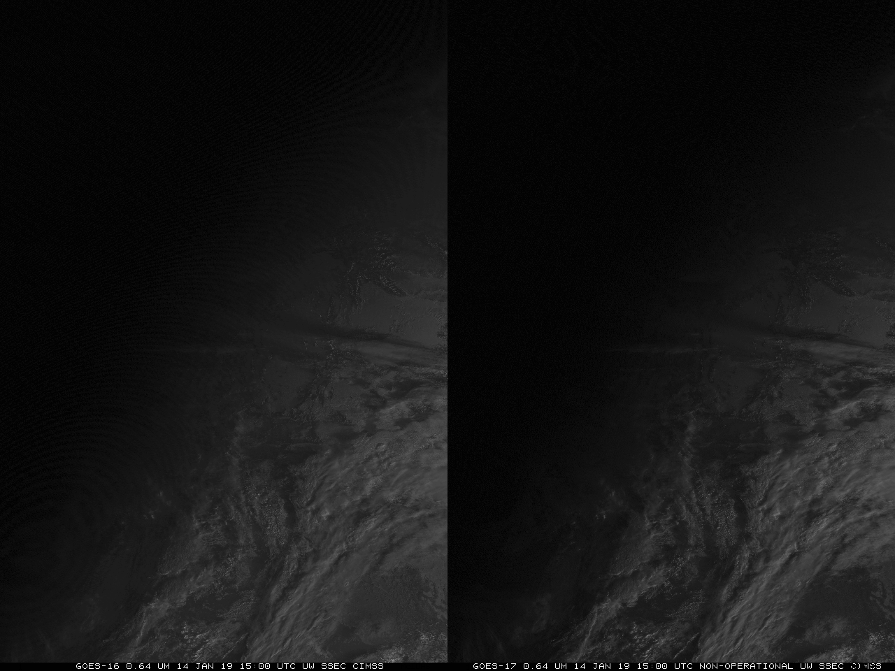
GOES-17 images shown here are preliminary and non-operational When GOES-17 was in the test position at 89.5 degrees W Longitude, GOES-16 and GOES-17 in satellite projections could be used to create stereoscopic imagery (example 1; example 2; example 3); the human brain could correct for any projection differences to create 3-dimensional imagery (as... Read More
