Southwest US monsoon convection: GOES-15 vs GOES-16
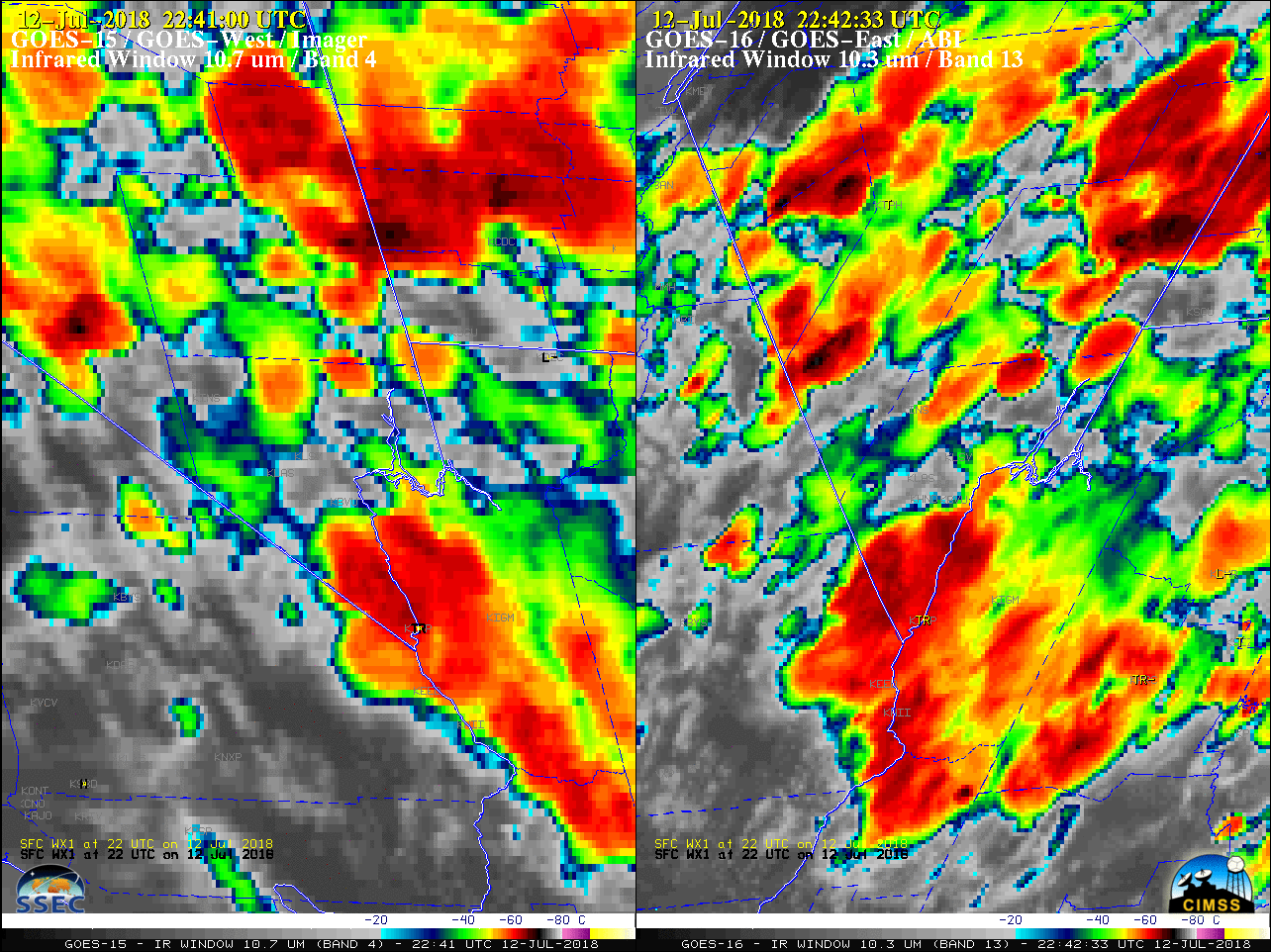
GOES-15 (GOES-West) Visible (0.63 µm) and GOES-16 (GOES-East) “Red” Visible (0.64 µm) images — displayed in the native projection of each satellite, and centered on Las Vegas, Nevada — are shown above, depicting the development of deep convection across parts of the Desert Southwest on 12 July 2018. While the GOES-15 satellite... Read More
