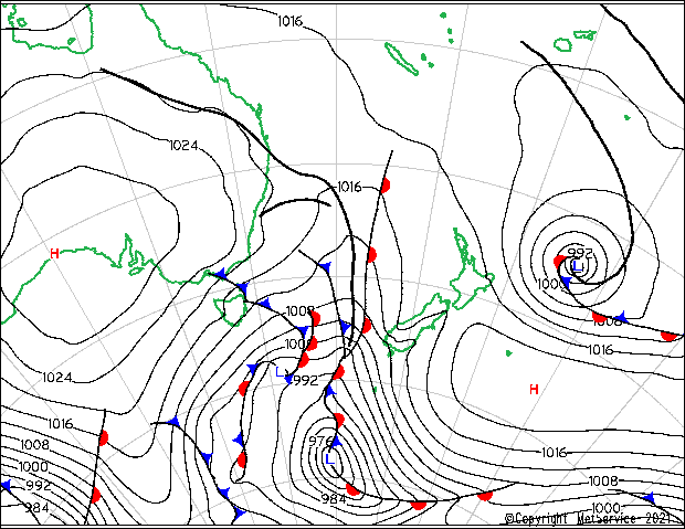
Subtropical storm in the South Pacific
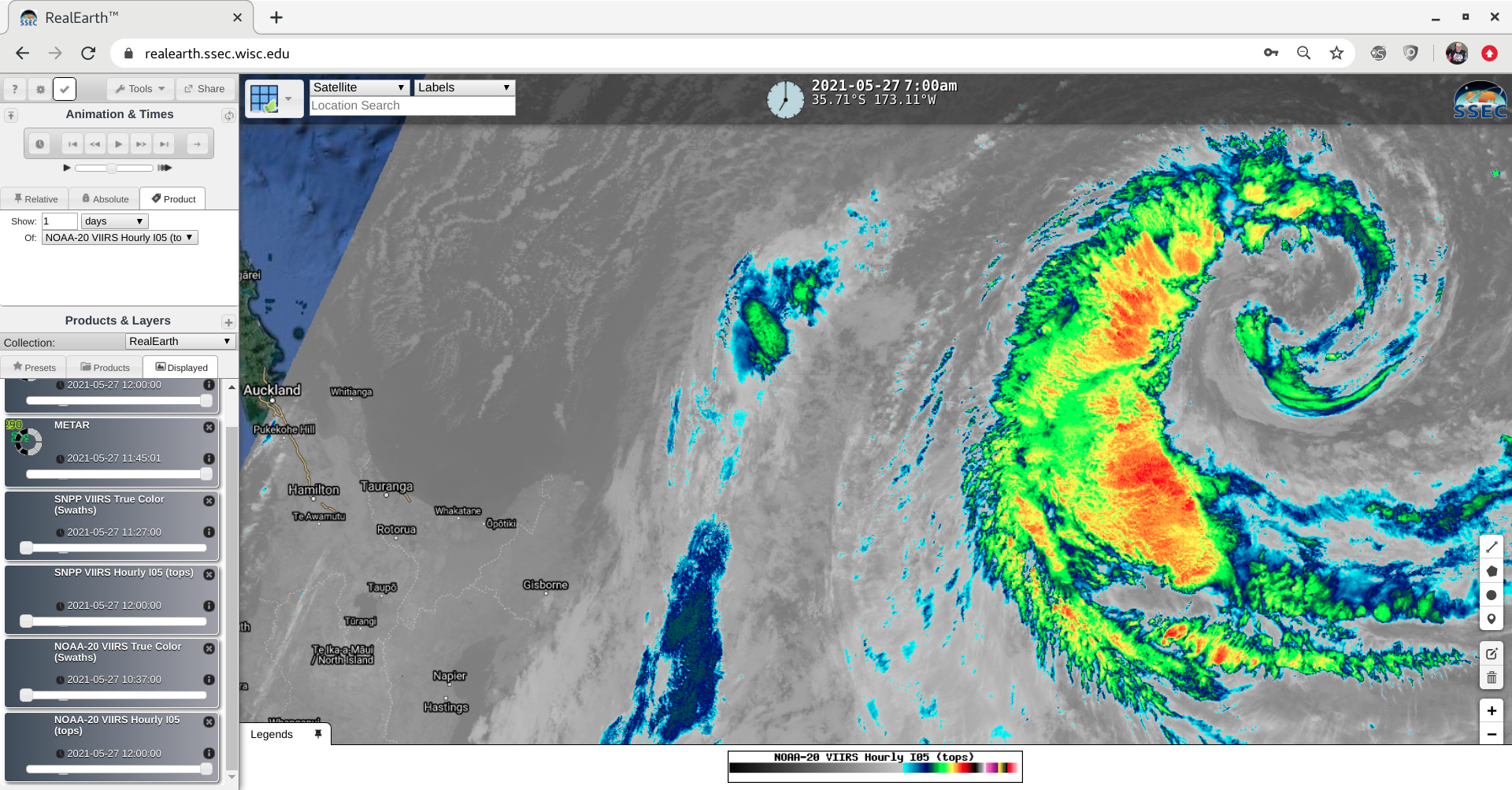
GOES-17 (GOES-West) “Red” Visible (0.64 um) images (above) showed the development of a subtropical storm in the South Pacific Ocean (just northeast of New Zealand) on 27 May 2021. Surface analyses from the New Zealand Met Service are available here.GOES-17 “Clean” Infrared Window (10.3 um) images (below) highlighted the curved band of cold-topped convection wrapping... Read More
