This website works best with a newer web browser such as Chrome, Firefox, Safari or Microsoft Edge. Internet Explorer is not supported by this website.

Category: Tropical cyclones

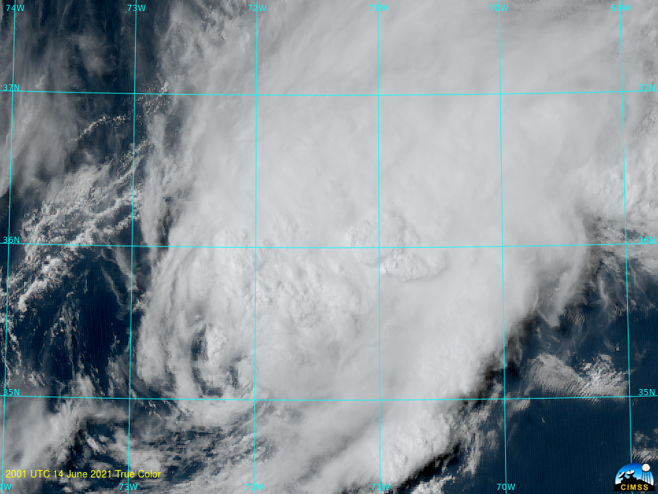
Tropical Storm Bill in the Atlantic Ocean

True-color imagery derived from GOES-16, above, shows a low-level cyclonic circulation associated with then Tropical Depression #2 to the east of Cape Hatteras over the western Tropical Atlantic. The satellite imagery suggests strong southwesterly shear: ongoing deep and vigorous convection is far removed to the east and northeast of the... Read More

Tropical Invest 90L becomes Subtropical Storm Ana in the Atlantic

1-minute Mesoscale Domain Sector GOES-16 (GOES-East) “Red” Visible (0.64 µm) and “Clean” Infrared Window (10.35 µm) images (above) displayed the exposed low-level circulation of Invest 90L, in the Atlantic Ocean (about 150 miles northeast of Bermuda, TXKF) on 21 May 2021.GOES-16 Visible images with plots of Visible Derived Motion Winds (below) revealed a few wind speeds of 50 knots or greater... Read More