SAR Winds over the tropical Pacific Ocean
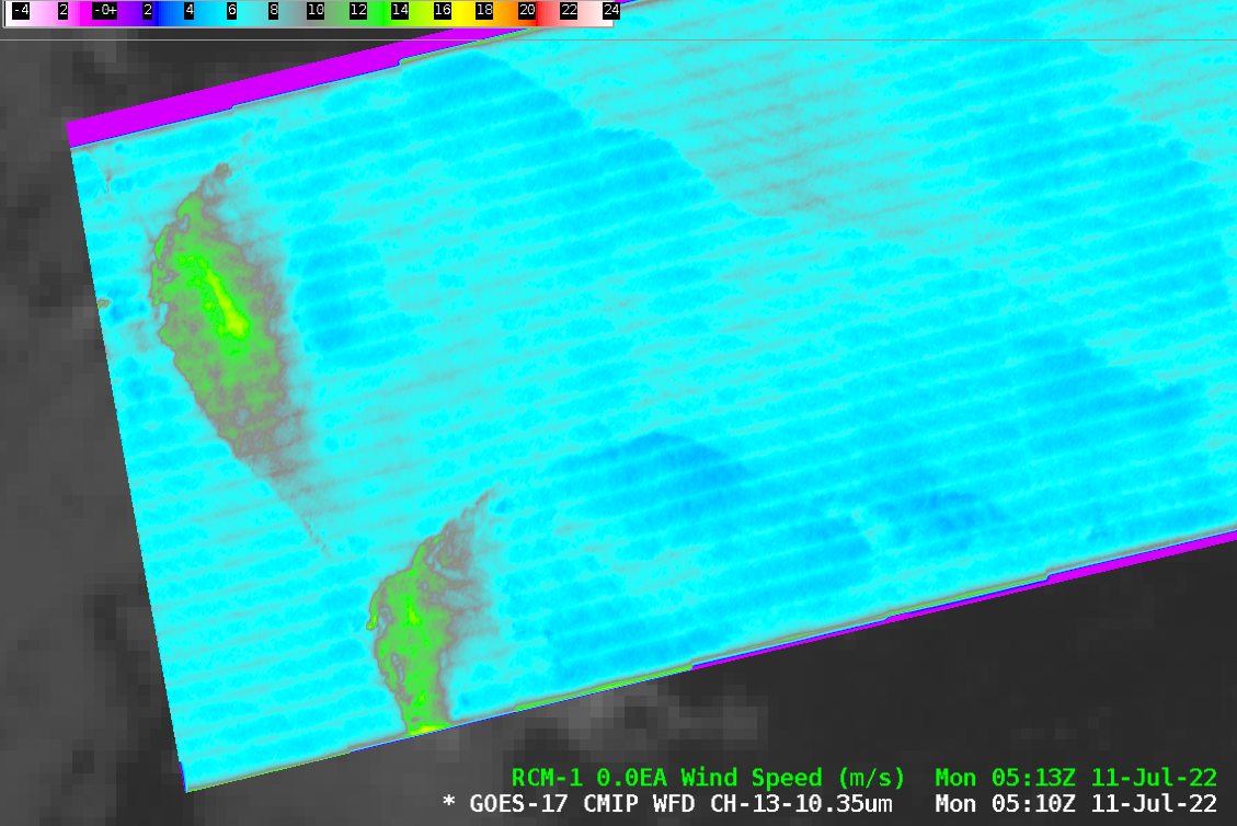
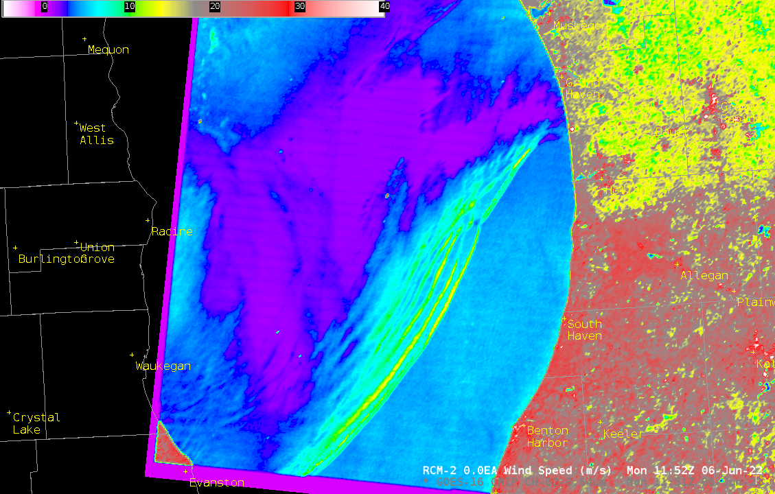
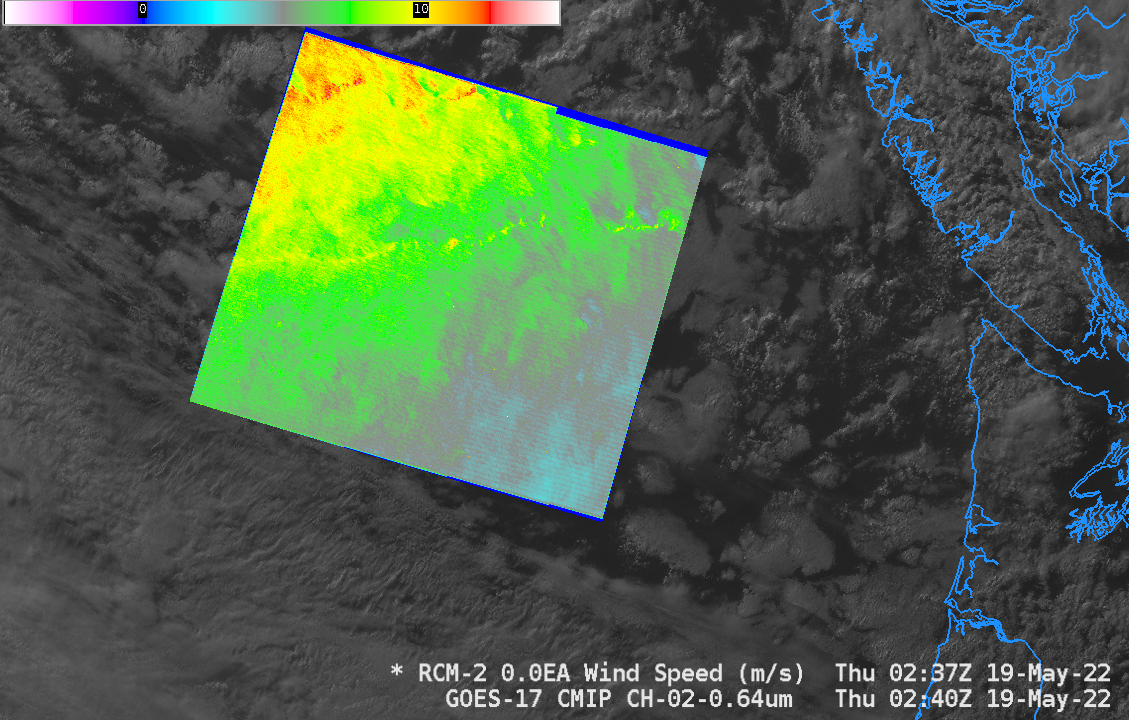
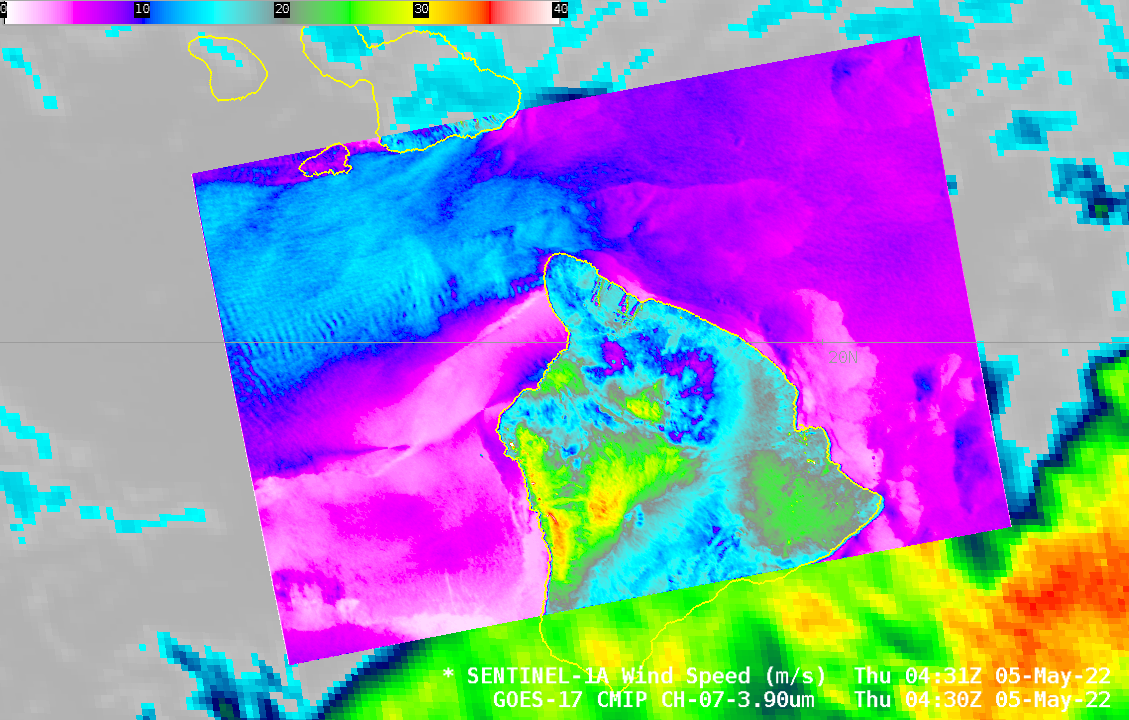
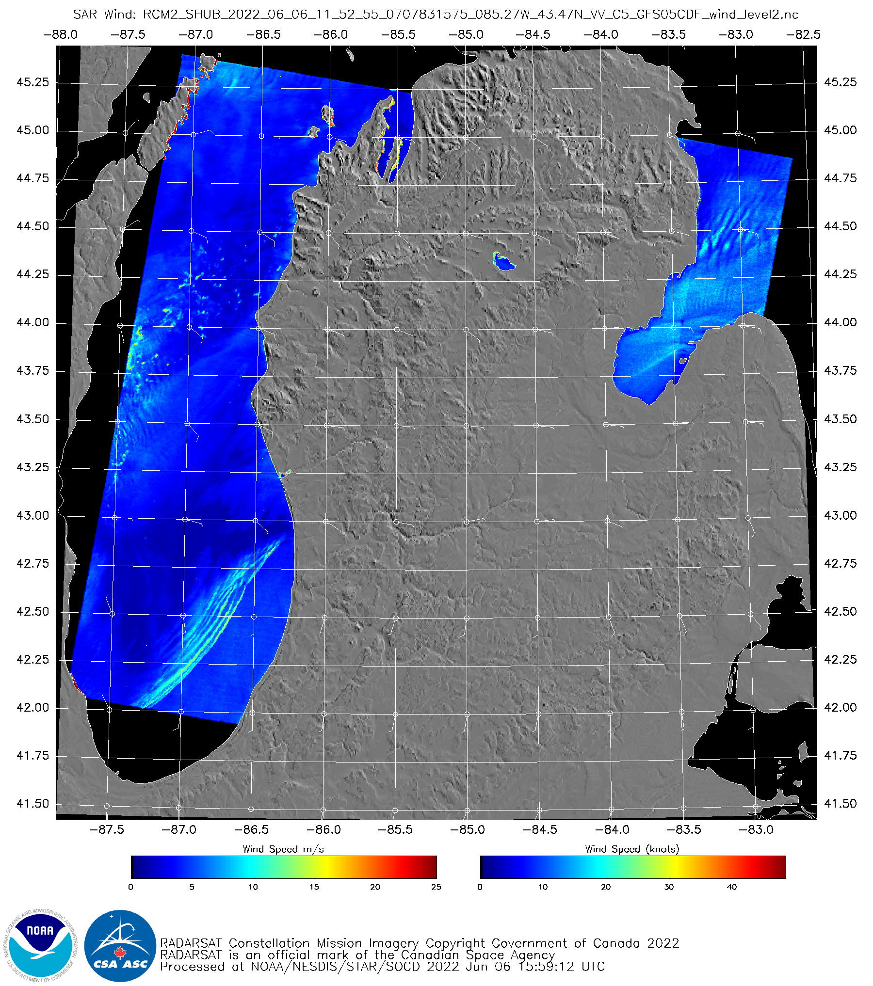
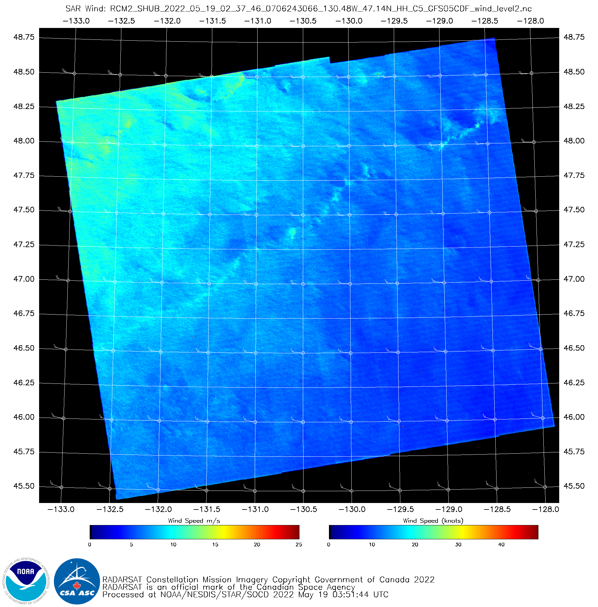
This NOAA/NESDIS website shows small footprints where SAR observations of ice and wind (from the RADARSAT Constellation Mission — RCM — satellites and from Sentinel) are available. AWIPS-ready data are also available from an ftp site. Consider the animation of GOES-17 Band 13 imagery above, just south to the Equator, and to... Read More
