This website works best with a newer web browser such as Chrome, Firefox, Safari or Microsoft Edge. Internet Explorer is not supported by this website.

Category: SAR

Strong winds from SAR over the South Pacific

The animation above shows convection over the south Pacific to the east of American Samoa (note the Manu’a Islands just east of 170 W Longitude in the animation). Extensive cloud cover will limit the ability of the GOES-17 instrument to detect low-level cloud motions underneath the deep convection, which motions... Read More

Comparing SAR wind data to GOES-16 ABI imagery

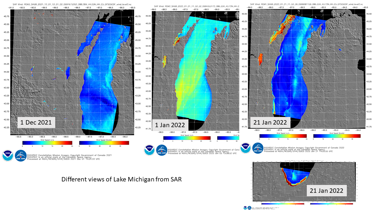
Synthetic Aperture Radar (SAR) imagery can be used to produce very high resolution mapping of winds. Imagery is available in selected domains at this NOAA/OSPO website; OSPO is the Office of Satellite Product Observations. Data are available from three different satellites: Sentinel-1/Sentinel-2 (managed by the European Space Agency) and RADARSAT (managed by the Canadian Space Agency). These space-borne radars can... Read More