Hail-producing storm on the High Plains of Colorado and Kansas
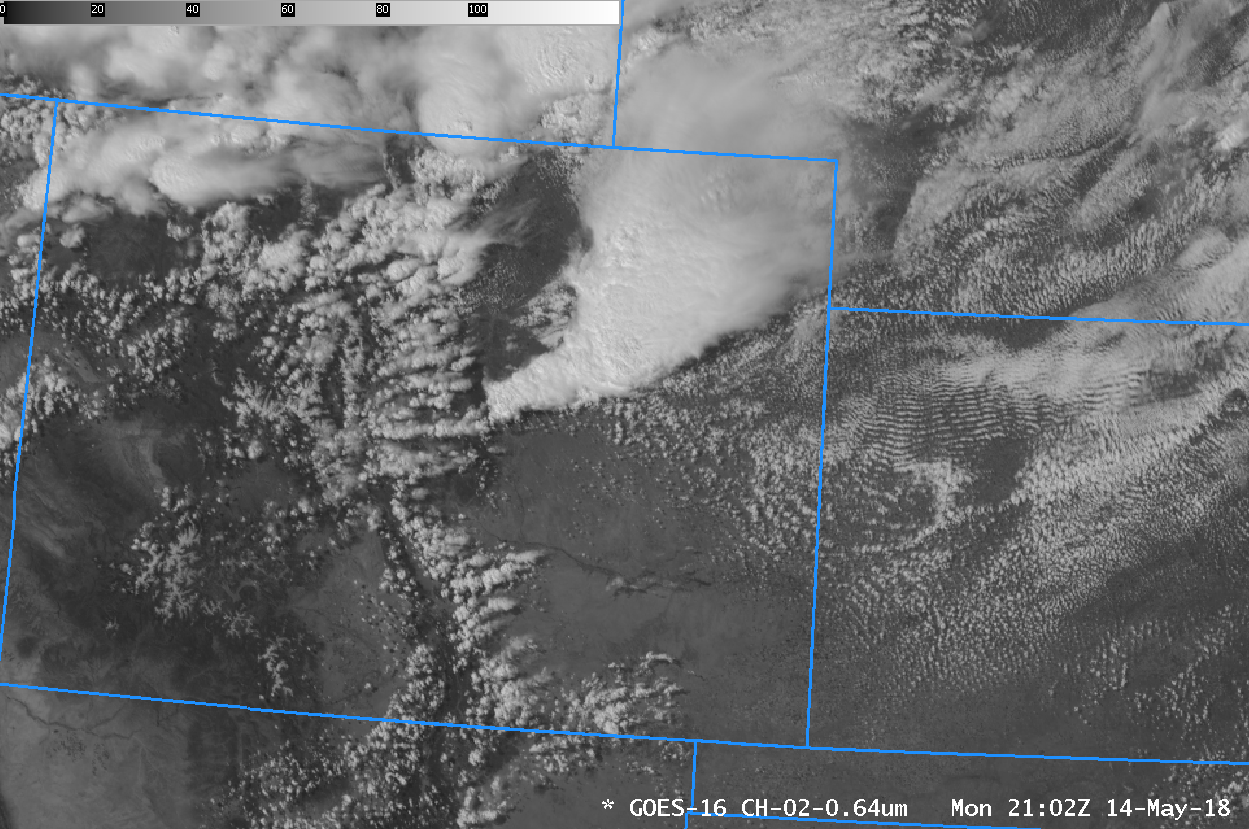
A Thunderstorm complex moved through eastern CO into western Kansas on 14 May 2018, producing 2 to 3 inch hail in Kit Carson and Cheyenne Counties in east-central Colorado and in Wallace County in northwest Kansas (SPC Storm Reports). Visible animation (0.64 µm) from GOES-16, above, shows the storms initiating near metropolitan Denver before moving... Read More
