Alonsa, Manitoba EF-4 tornado
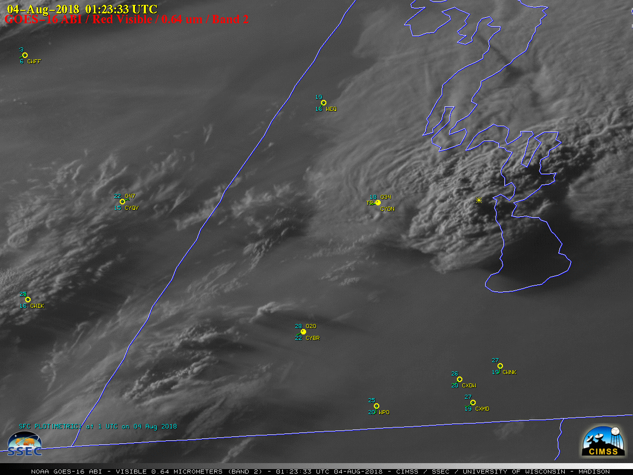
1-minute Mesoscale Domain Sector GOES-16 (GOES-East) “Red” Visible (0.64 µm) images (above) showed the development of a thunderstorm which produced an EF-4 tornado near Alonsa, Manitoba during the early evening hours on 03 August 2018. The cell began to develop southwest of Alonsa around 0020 UTC, and as the thunderstorm matured a series of pulsing... Read More
