This website works best with a newer web browser such as Chrome, Firefox, Safari or Microsoft Edge. Internet Explorer is not supported by this website.

Category: Microwave

Hurricane Hector

* GOES-17 images shown here are preliminary and non-operational *A toggle between NOAA-20 and Suomi NPP VIIRS Infrared Window (11.45 µm) images (above; courtesy of William Straka, CIMSS) showed the well-defined eye of Hurricane Hector after it had reached Category 4 intensity on 06 August 2018 (advisories: EPAC | CPAC).GOES-17... Read More

Super Typhoon Maria

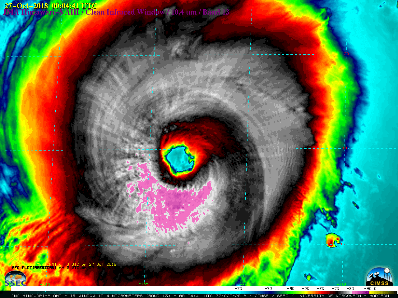
Typhoon Maria underwent a period of rapid intensification (ADT | SATCON) while it was just northwest of Guam late in the day on 05 July 2018, becoming the first Category 5 Super Typhoon of the 2018 West Pacific season. Rapid-scan Himawari-8 “Red” Visible (0.64 µm) and “Clean” Infrared Window (10.4... Read More

Hurricane Bud

East Pacific Hurricane Bud peaked at Category 4 intensity (ADT | SATCON) around 06 UTC on 12 June 2018 (just 4 days after Hurricane Aletta reached the same intensity) — and a GOES-16 (GOES-East) Mesoscale Sector was positioned over the storm about an hour before that time, providing “Clean” Infrared Window... Read More