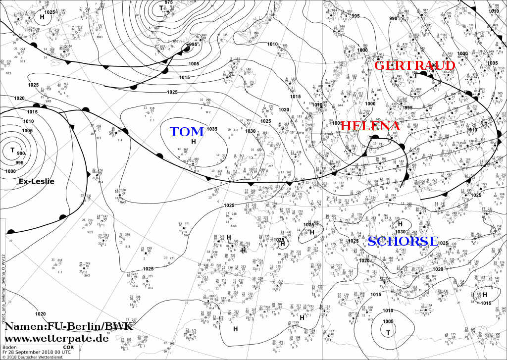
Medicane “Zorbas”
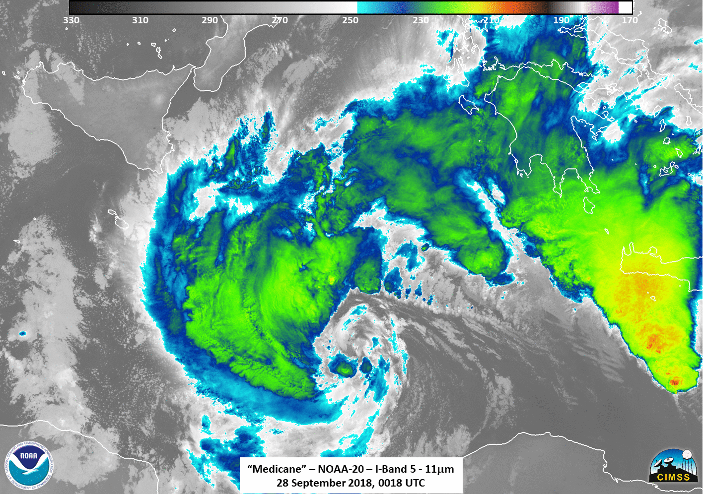
![NOAA-20 and Suomi NPP VIIRS Day/Night Band (0.7 µm) images [click to enlarge]](https://cimss.ssec.wisc.edu/satellite-blog/wp-content/uploads/sites/5/2018/09/180928_0018utc_noaa20_0108utc_suomiNPP_viirs_DayNightBand_Medicane_anim.gif)
NOAA-20 and Suomi NPP VIIRS Day/Night Band (0.7 µm) images [click to enlarge]
During the following daylight hours of 28 September, EUMETSAT Meteosat-11 High Resolution Visible (0.8 µm) images (below) showed the storm as it became better organized and increased intensity. Another dense plume of blowing dust/sand began to move off the coast of Libya late in the day.
![Meteosat-11 Visible (0.8 µm) images, with hourly plots of wind barbs (yellow) and wind gusts (red) [click to play animation | MP4]](https://cimss.ssec.wisc.edu/satellite-blog/wp-content/uploads/sites/5/2018/09/180928_meteosat11_visible_winds_gusts_Medicane_anim.gif)
Meteosat-11 Visible (0.8 µm) images, with hourly plots of wind barbs (yellow) and wind gusts (red) [click to play animation | MP4]
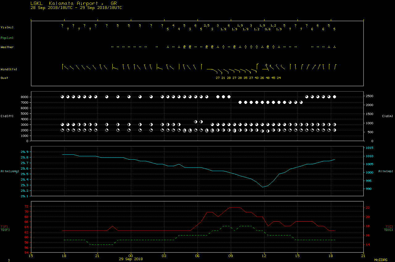
![Meteosat-11 Visible (0.8 µm) images, with hourly plots of winds (yellow) and gusts in knots (red) [click to play animation | MP4]](https://cimss.ssec.wisc.edu/satellite-blog/wp-content/uploads/sites/5/2018/09/180929_meteosat11_visible_winds_gusts_Medicane_anim.gif)
Meteosat-11 Visible (0.8 µm) images, with hourly plots of wind barbs (yellow) and gusts in knots (red) [click to play animation | MP4]
![Terra/Aqua MODIS True Color RGB images on 28 and 29 September [click to enlarge]](https://cimss.ssec.wisc.edu/satellite-blog/wp-content/uploads/sites/5/2018/09/180928_180929_terra_aqua_modis_truecolor_Medicane_anim.gif)
Terra/Aqua MODIS True Color RGB images on 28 and 29 September [click to enlarge]
![MIMIC morphed Total Precipitable Water images, 27-29 September [click to play animation | MP4]](https://cimss.ssec.wisc.edu/satellite-blog/wp-content/uploads/sites/5/2018/09/180927_180929_mimic_tpw_Medicane_anim.gif)
MIMIC morphed Total Precipitable Water images, 27-29 September [click to play animation | MP4]