Hurricane Delta in the Gulf of Mexico
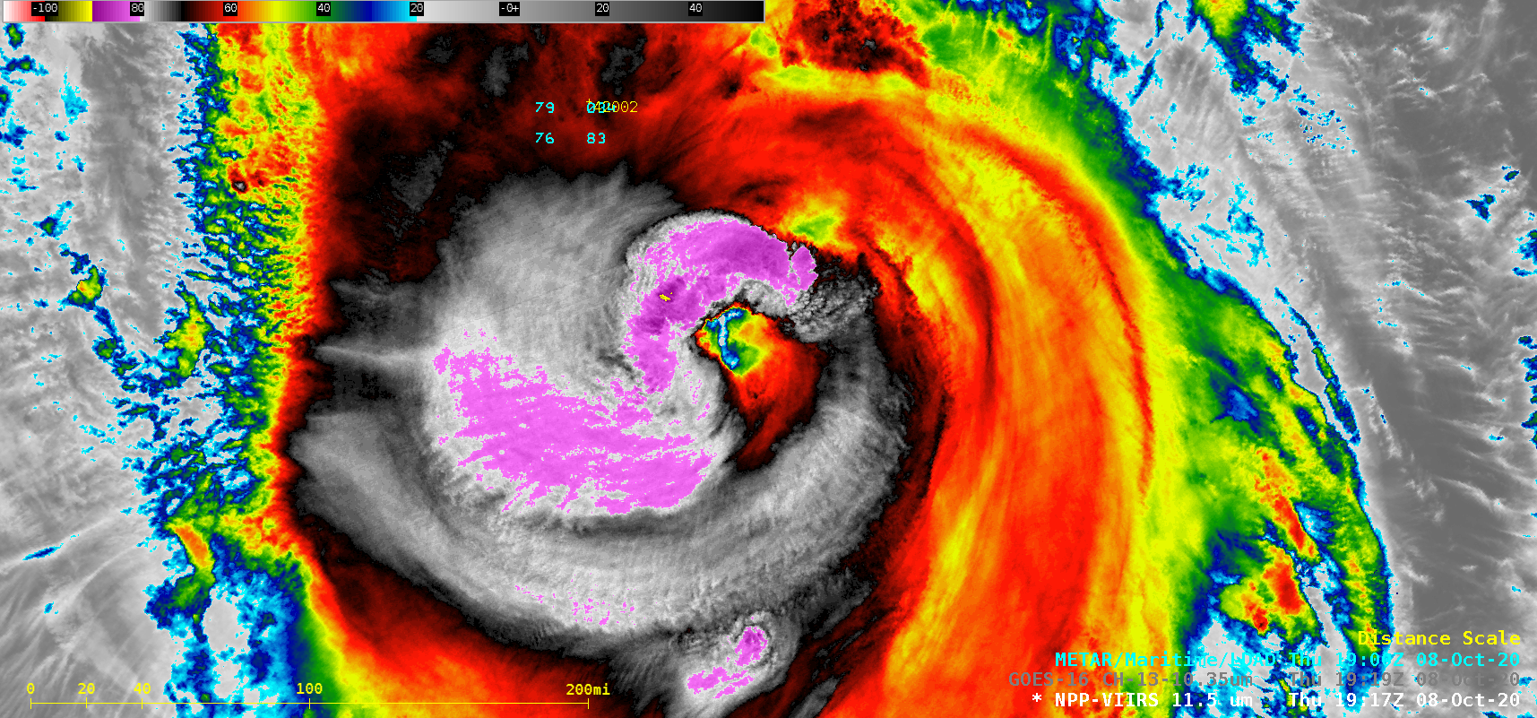
1-minute Mesoscale Domain Sector GOES-16 (GOES-East) “Clean” Infrared Window (10.35 µm) images — with and without an overlay of GLM Flash Extent Density — and “Red” Visible (0.64 µm) images (above) showed showed Hurricane Delta as it intensified from a Category 2 to a Category 3 storm over the Gulf of Mexico during the daytime hours on 08 October 2020. Cloud-top infrared brightness temperatures of... Read More
