Hurricane Teddy and wildfire smoke
![GOES-16 True Color RGB images [click to play animation | MP4]](https://cimss.ssec.wisc.edu/satellite-blog/images/2020/09/200922_goes16_trueColorRGB_Hurricane_Teddy_wildfire_smoke_anim.gif)
GOES-16 True Color RGB images [click to play animation | MP4]
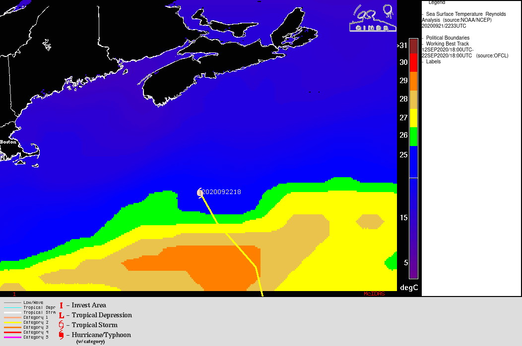
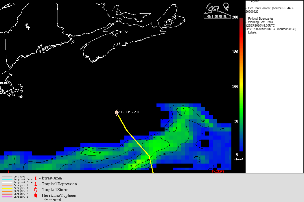
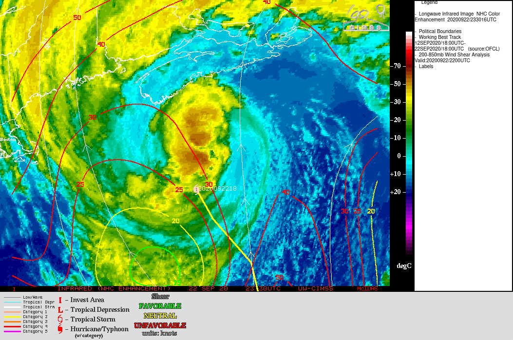
Although the size of Teddy’s cloud shield was still fairly large, a DMSP-17 SSMIS Microwave (85 GHz) image at 2217 UTC from the CIMSS Tropical Cyclones site (below) showed that no organized core of deep convection remained as the storm began to move across colder waters (Sea Surface Temperature | Ocean Heat Content) and encounter a more hostile environment of increasing deep-layer wind shear.
![DMSP-17 SSMIS Microwave (85 GHz) image at 2217 UTC [click to enlarge]](https://cimss.ssec.wisc.edu/satellite-blog/images/2020/09/200922_2217utc_dmsp17_ssmis_microwave_Hurricane_Teddy.gif)
DMSP-17 SSMIS Microwave (85 GHz) image at 2217 UTC [click to enlarge]
![GOES-16 CIMSS Natural Color RGB images, with and without an overlay of Aerosol Optical Depth [click to play animation | MP4]](https://cimss.ssec.wisc.edu/satellite-blog/images/2020/09/200922_goes16_cimssNaturalColorRGB_aerosolOpticalDepth_Hurricane_Teddy_wildfire_smoke_anim.gif)
GOES-16 CIMSS Natural Color RGB images, with and without an overlay of Aerosol Optical Depth [click to play animation | MP4]
![Plots of lidar backscatter and depolarization from 12 UTC o n 22 September to 00 UTC on 23 September [click to enlarge]](https://cimss.ssec.wisc.edu/satellite-blog/images/2020/09/200922_lidar_backscatter_depolariation_Madison_WI.jpg)
Plots of lidar backscatter (top) and depolarization (bottom) from 12 UTC on 22 September to 00 UTC on 23 September [click to enlarge]