Hurricane Delta in the Gulf of Mexico
![GOES-16 “Clean” Infrared Window (10.35 µm) images (with and without an overlay of GLM Flash Extent Density) and “Red” Visible (0.64 µm) images [click to play animation | MP4]](https://cimss.ssec.wisc.edu/satellite-blog/images/2020/10/201008_goes16_infrared_glmFlashExtentDensity_visible_Hurricane_Delta_anim.gif)
GOES-16 “Clean” Infrared Window (10.35 µm) images (with and without an overlay of GLM Flash Extent Density) and “Red” Visible (0.64 µm) images [click to play animation | MP4]
A toggle between Suomi NPP VIIRS Infrared Window (11.45 µm) and Visible (0.64 µm) images of Hurricane Delta shortly before it intensified to a Category 3 storm are shown below; the coldest cloud-top infrared brightness temperature at that time was -93.0ºC.
![Suomi NPP VIIRS Infrared Window (11.45 µm) and Visible (0.64 µm) images [click to enlarge]](https://cimss.ssec.wisc.edu/satellite-blog/images/2020/10/201008_1917utc_suomiNPP_viirs_infrared_visile_Hurricane_Delta_anim.gif)
Suomi NPP VIIRS Infrared Window (11.45 µm) and Visible (0.64 µm) images [click to enlarge]
![Infrared images from Suomi NPP and GOES-16 [click to enlarge]](https://cimss.ssec.wisc.edu/satellite-blog/images/2020/10/201008_1919utc_suomiNPP_goes16_infrared_Hurricane_Delta_anim.gif)
Infrared images from Suomi NPP (11.45 µm) and GOES-16 (10.35 µm) [click to enlarge]
===== 09 October Update =====
![Suomi NPP VIIRS Infrared Window (11.45 µm) and Day/Night Band (0.7 µm) images [click to enlarge]](https://cimss.ssec.wisc.edu/satellite-blog/images/2020/10/201009_0734utc_suomiNPP_viirs_infraredWindow_dayNightBand_Hurricane_Delta_anim.gif)
Suomi NPP VIIRS Infrared Window (11.45 µm) and Day/Night Band (0.7 µm) images [click to enlarge]
1-minute GOES-16 Infrared and Visible images (below) showed Category 2 Hurricane Delta making landfall in southwestern Louisiana at 2300 UTC, producing wind gusts as high as 100 mph at Texas Point, Texas.
![GOES-16 “Clean” Infrared Window (10.35 µm) images (with and without an overlay of GLM Flash Extent Density) and “Red” Visible (0.64 µm) images [click to play animation | MP4]](https://cimss.ssec.wisc.edu/satellite-blog/images/2020/10/201009_goes16_infrared_glmFlashExtentDensity_visible_Hurricane_Delta_landfall_anim.gif)
GOES-16 “Clean” Infrared Window (10.35 µm) images (with and without an overlay of GLM Flash Extent Density) and “Red” Visible (0.64 µm) images [click to play animation | MP4]
![MIMIC Total Precipitable Water product [click to enlarge]](https://cimss.ssec.wisc.edu/satellite-blog/images/2020/10/201009_mimicTPW_Delta_landfall_anim.gif)
MIMIC Total Precipitable Water product [click to enlarge]
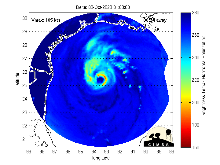
MIMIC-TC product [click to enlarge]
===== 10 October Update =====
![Suomi NPP VIIRS True Color RGB images from 04 and 10 October [click to enlarge]](https://cimss.ssec.wisc.edu/satellite-blog/images/2020/10/201004_201010_suomiNPP_viirs_trueColorRGB_TX_LA_anim.gif)
Suomi NPP VIIRS True Color RGB images from 04 October and 10 October [click to enlarge]
![Suomi NPP VIIRS False Color RGB images from 04 October and 10 October [click to enlarge]](https://cimss.ssec.wisc.edu/satellite-blog/images/2020/10/201004_201010_suomiNPP_viirs_falseColorRGB_TX_LA_anim.gif)
Suomi NPP VIIRS False Color RGB images from 04 October and 10 October [click to enlarge]
![GOES-16 River Flood product [click to enlarge]](https://cimss.ssec.wisc.edu/satellite-blog/images/2020/10/201010_1900utc_goes16_flood.png)
GOES-16 River Flood Detection product valid at 1900 UTC on 10 October [click to enlarge]