Kompasu skirts to the north of Luzon
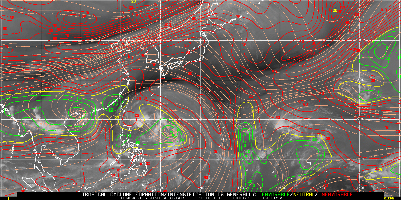
Severe Tropical Storm Kompasu moved westward just north of the island of Luzon in the Philippines on 11 October. The Himawari-8 Target Sector clean window infrared (Band 13, 10.4 µm) imagery, above, from 0232 – 1502 UTC (Imagery courtesy JMA; imagery available here), shows deep convection becoming more organized as the storm... Read More
