Rope cloud feeding into Tropical Invest 98L

GOES-16 True Color RGB images [click to play animation | MP4]
The hazy Saharan Air Layer was also seen in a Suomi NPP VIIRS True Color image at 1439 UTC, as visualized using RealEarth (below). The west-to-east oriented rope cloud was located around 11-12 N latitude.
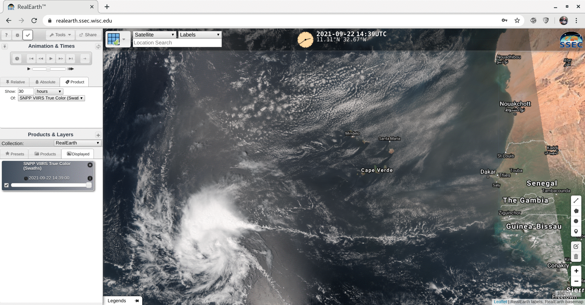
VIIRS True Color RGB image from Suomi NPP [click to enlarge]
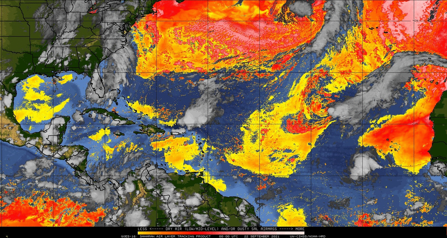
GOES-16 “Saharan Air Layer” Split Window Difference product [click to play animation]