Tropical Storm Iba off the coast of Brazil
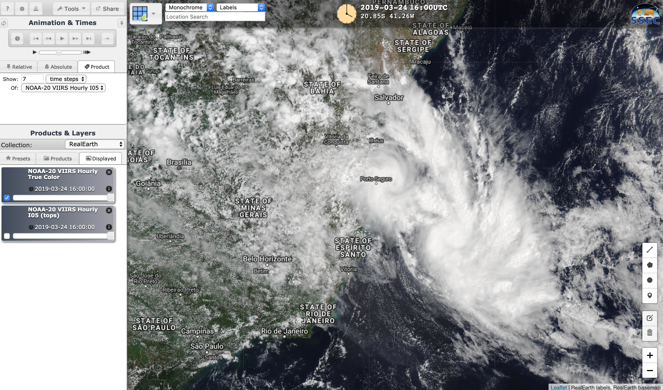
1-minute Mesoscale Domain Sector GOES-16 (GOES-East) “Red” Visible (0.64 µm) images (above) and “Clean” Infrared Window (10.3 µm) images (below) showed the formation of Tropical Storm Iba off the east coast of Brazil at 16 UTC on 24 March 2019 (surface analyses). Plots of GLM Groups revealed some intermittent lightning activity. Tropical cyclones in the South Atlantic... Read More
