Strong Storm in the Mediterranean
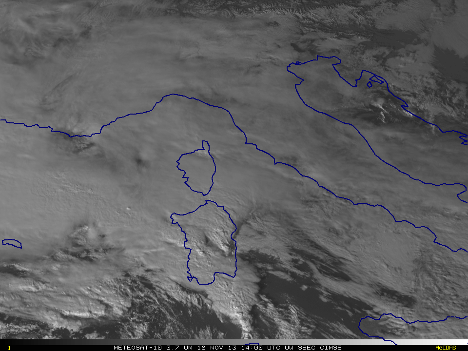
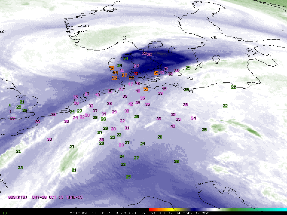
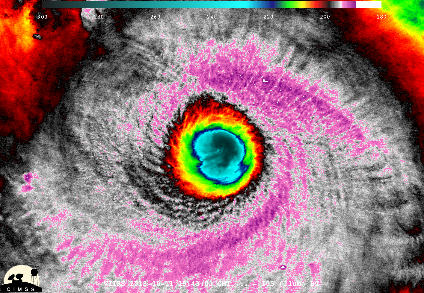
Cyclone Cleopatra moved through the central Mediterranean Sea, causing flooding in Italy and Sardinia (BBC News Link) with northeastern Sardinia particularly hard hit. The infrared imagery from Meteosat-10, above, and the water vapor imagery, below, shows the slow movement of the entire system within the Mediterranean basin, as well as the strong... Read More
