This website works best with a newer web browser such as Chrome, Firefox, Safari or Microsoft Edge. Internet Explorer is not supported by this website.

Category: Lightning

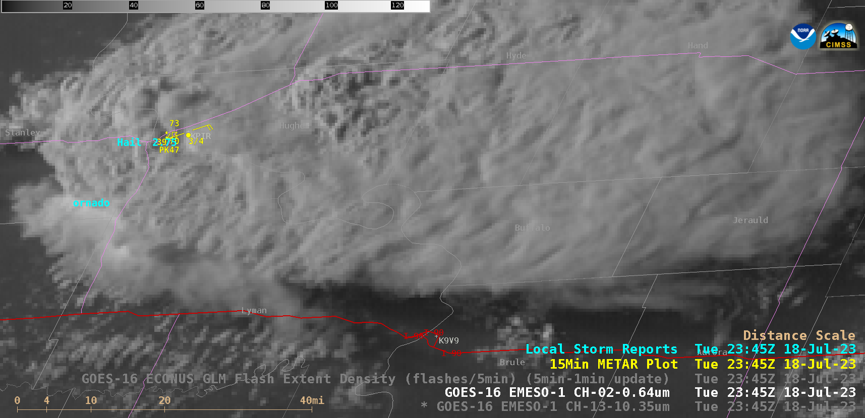
Supercell thunderstorm produces giant hail and 100 mph winds in South Dakota

1-minute Mesoscale Domain Sector GOES-16 (GOES-East) “Red” Visible (0.64 µm) images (above) showed a supercell thunderstorm that produced a tornado, hail as large as 5.00 inches in diameter and wind gusts to 100 mph (SPC Storm Reports | NWS Aberdeen summary) in central South Dakota during the late afternoon and early evening hours on 18 July 2023. Several pulses of overshooting tops... Read More

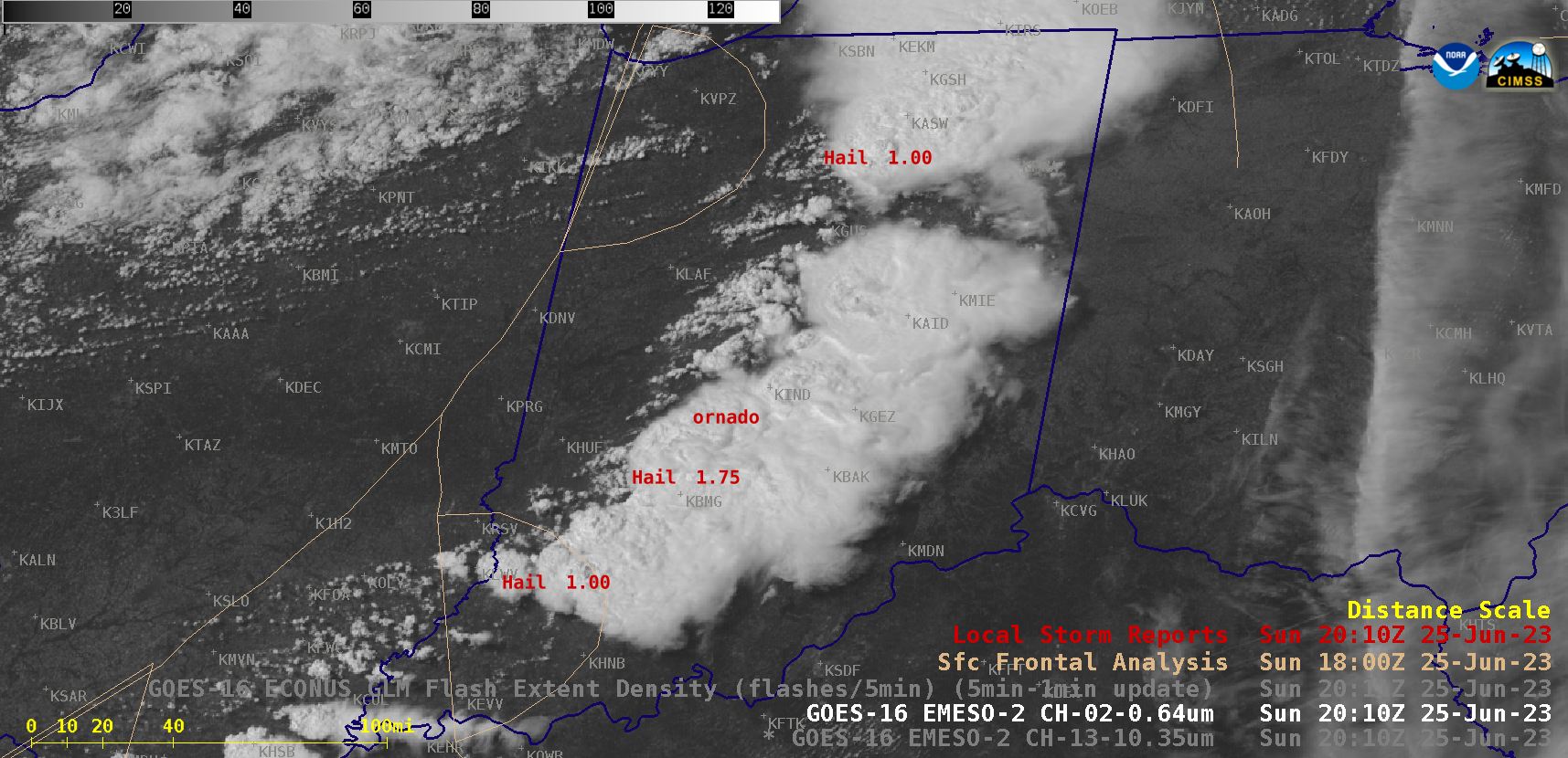
Severe thundstorms across Indiana

1-minute Mesoscale Domain Sector GOES-16 (GOES-East) “Red” Visible (0.64 µm) and “Clean” Infrared Window (10.3 µm) images (above) include time-matched plots of Local Storm Reports — which showed thunderstorms that produced several tornadoes, hail to 4.00 inches in diameter and wind gusts to 70 mph (SPC Storm Reports) along with some heavy rainfall and flooding across much of Indiana (and parts of adjacent... Read More

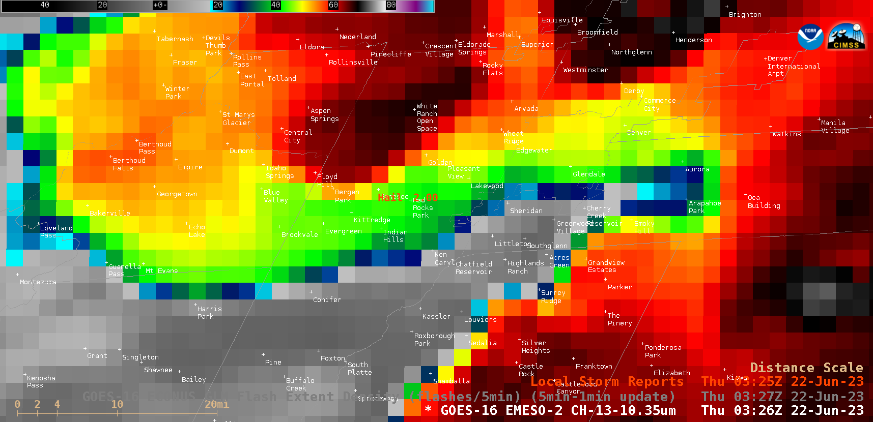
Large hail event at a Red Rocks concert in Colorado, viewed using GOES-16 and GOES-18

As also discussed in this blog post, large hail injured as many as 90 people at a Red Rocks outdoor concert in Colorado just after local sunset on 21 June 2023. 1-minute Mesoscale Domain Sector “Clean” Infrared Window (10.3 µm) images (with/without an overlay of GLM Flash Extent Density) from GOES-16 (GOES-East) (above) and GOES-18 (GOES-West) (below) showed the east-northeastward motion... Read More