Severe thunderstorms across southern Wisconsin
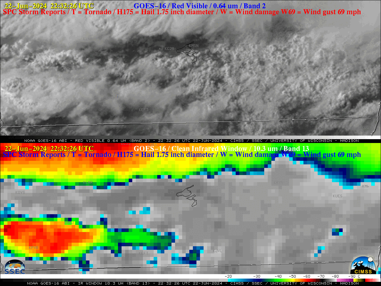
1-minute GOES-16 “Red” Visible (0.64 µm, top) and “Clean” Infrared Window (10.3 µm, bottom) images with time-matched (+/- 3 minutes) SPC Storm Reports plotted in red/blue, from 2232 UTC on 22 June to 0122 UTC on 23 June [click to play animated GIF | MP4]
1-minute GOES-16 Visible and Infrared images with an overlay of GLM Flash Extent Density (below) showed the lightning activity associated with these thunderstorms, which included a few brief lightning jumps.

1-minute GOES-16 “Red” Visible (0.64 µm, top) and “Clean” Infrared Window (10.3 µm, bottom) images, with/without an overlay of GM Flash Extent Density, from 2230 UTC on 22 June to 0120 UTC on 23 June [click to play animated GIF | MP4]