Flooding Rains on Oahu
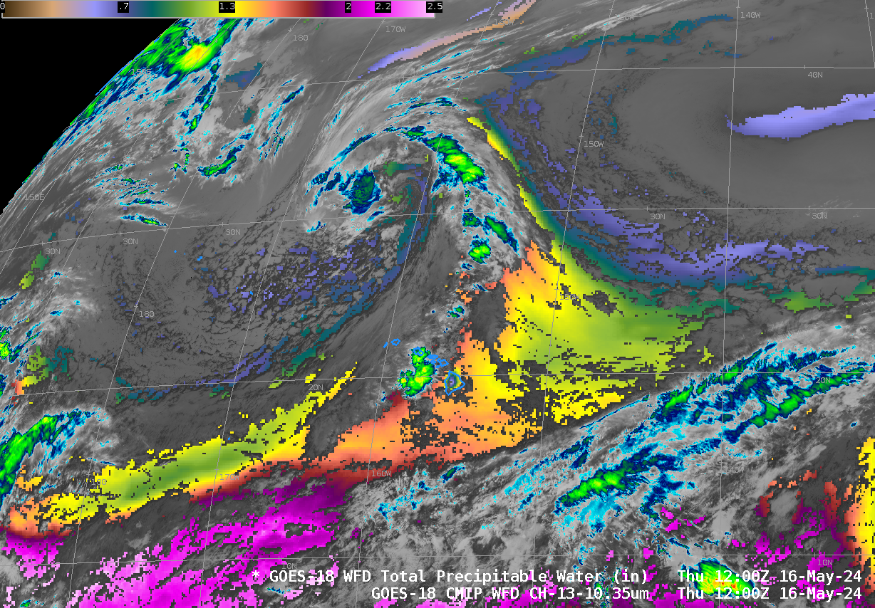
A 16-hour animation using 5-minute GOES-18 PACUS imagery, above (saved from the Geosphere site) shows persistent convection along the east coast of Oahu on 13 May. MIMIC estimates of Total Precipitable Water on 13 May, below, show the state of Hawai’i surounded by abundant moisture, although the richest moisture within the... Read More
