Flash flooding in the Hill Country of Texas

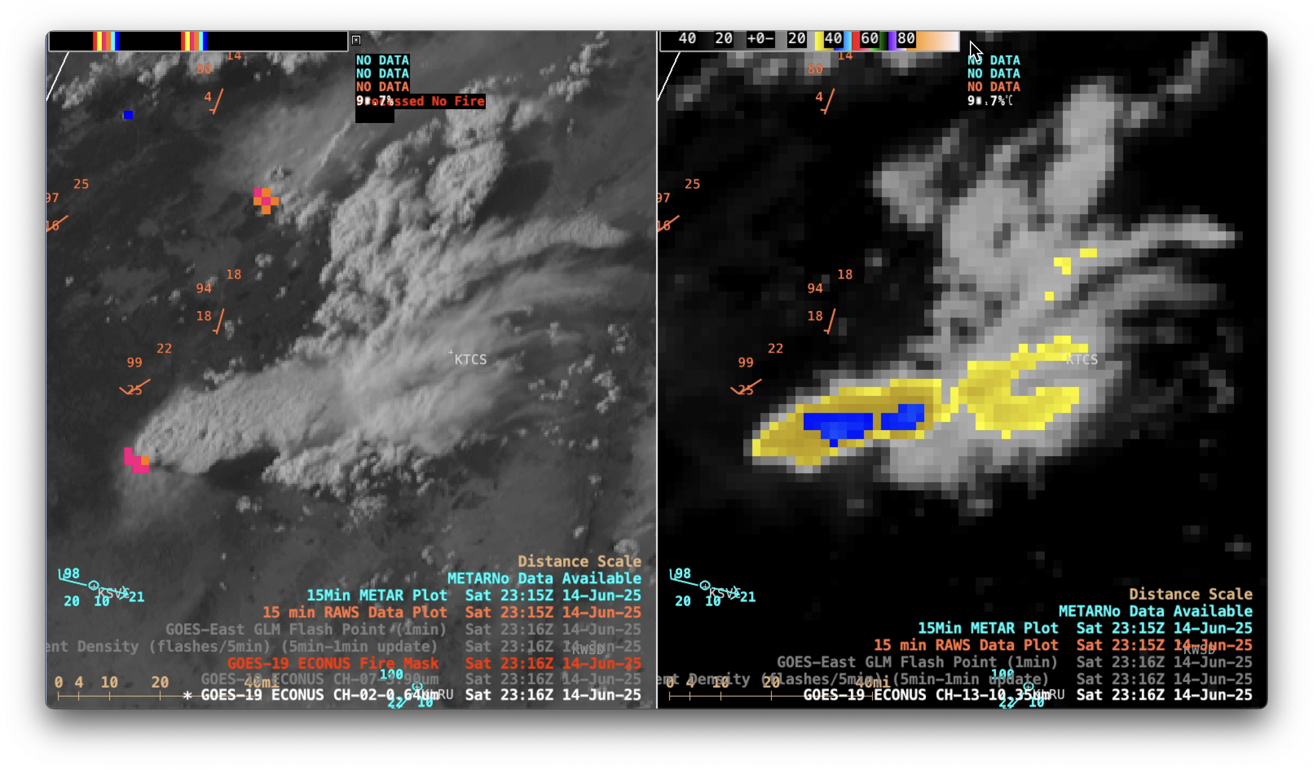
1-minute Mesoscale Domain Sector GOES-18 (GOES-West) Infrared Window images (above) included plots of Flood Watch/Warning/Advisory polygons (Flash Flood Warnings appeared as red polygons, while Flash Flood Emergencies appeared as bold red polygons) across the Hill Country of Texas on 16 July 2026. After the previous few days of heavy rainfall — which... Read More