Actinoform cloud produces light rain in Hawai`i
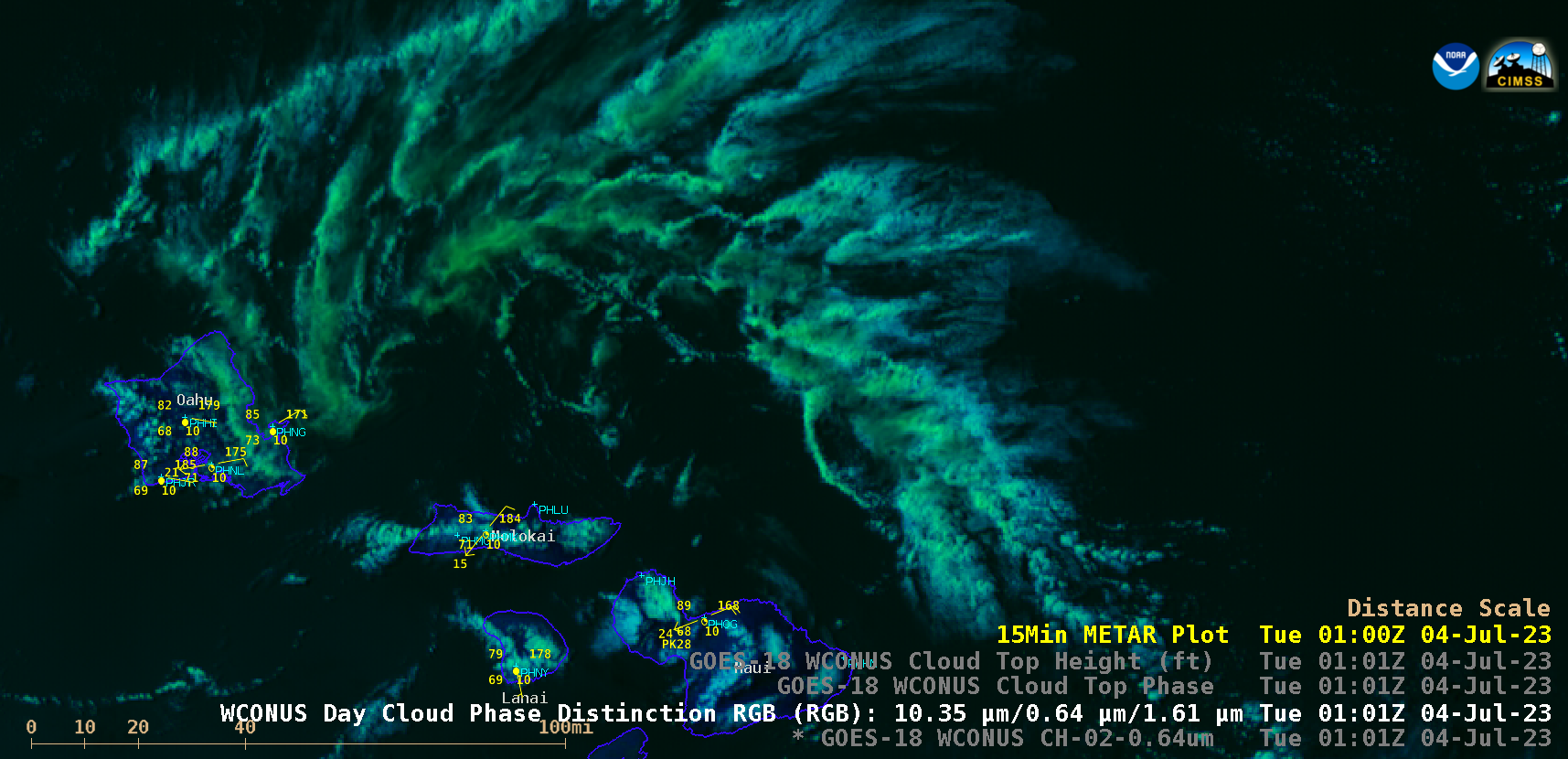
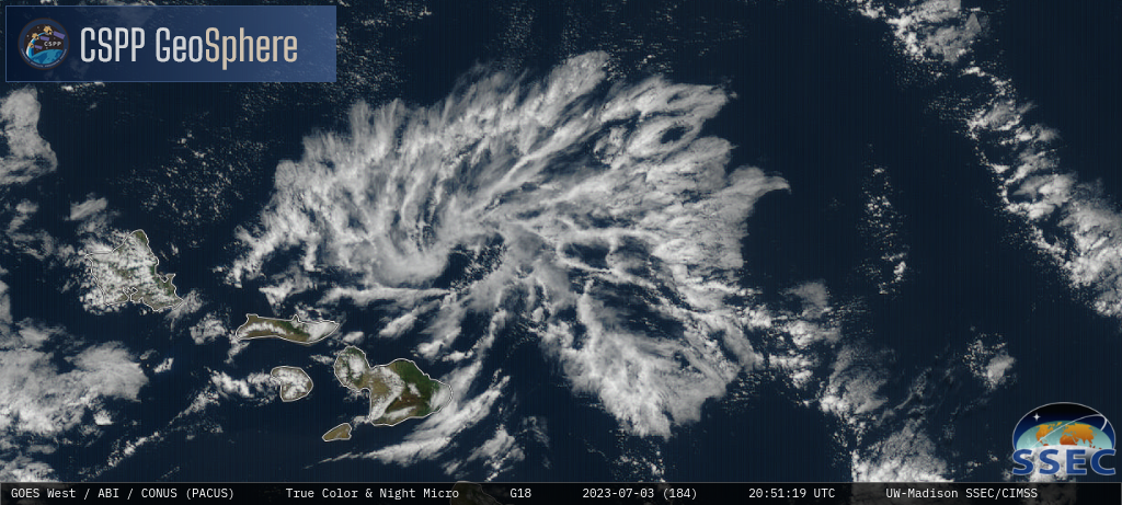
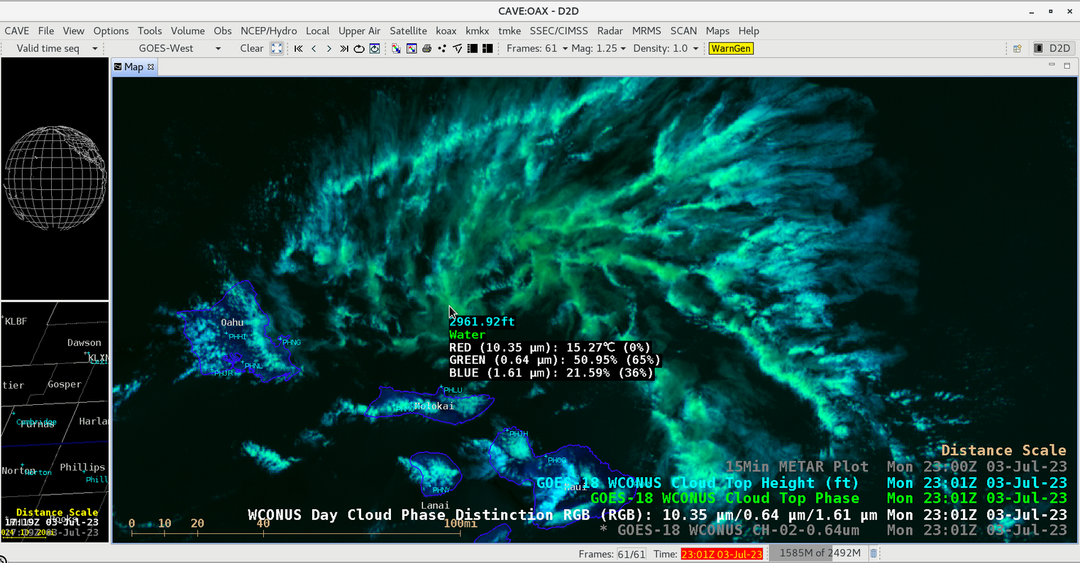
GOES-18 (GOES-West) Nighttime Microphysics RGB and daytime True Color RGB images from the CSPP GeoSphere site (above) displayed the cyclonic circulation of an actinoform cloud feature as it moved westward toward Hawai`i on 03 July 2023.A closer view using GOES-18 “Red” Visible (0.64 µm) and Day Cloud Phase Distinction RGB images (below) showed the actinoform cloud as it approached the island of Oahu. 15-minute METAR surface reports revealed that one of the actinoform’s “spiral bands” produced brief (20-30 minute) periods of light rain and/or drizzle — first at Kaneohe Bay (PHNG) beginning around 0201 UTC, and then at Wheeler Air Force Base (PHHI) beginning around 0331 UTC — as it passed over the island.

GOES-18 “Red” Visible (0.64 µm) and Day Cloud Phase Distinction RGB images [click to play animated GIF | MP4]


