Stereoscopic view of Severe Convection over Nebraska
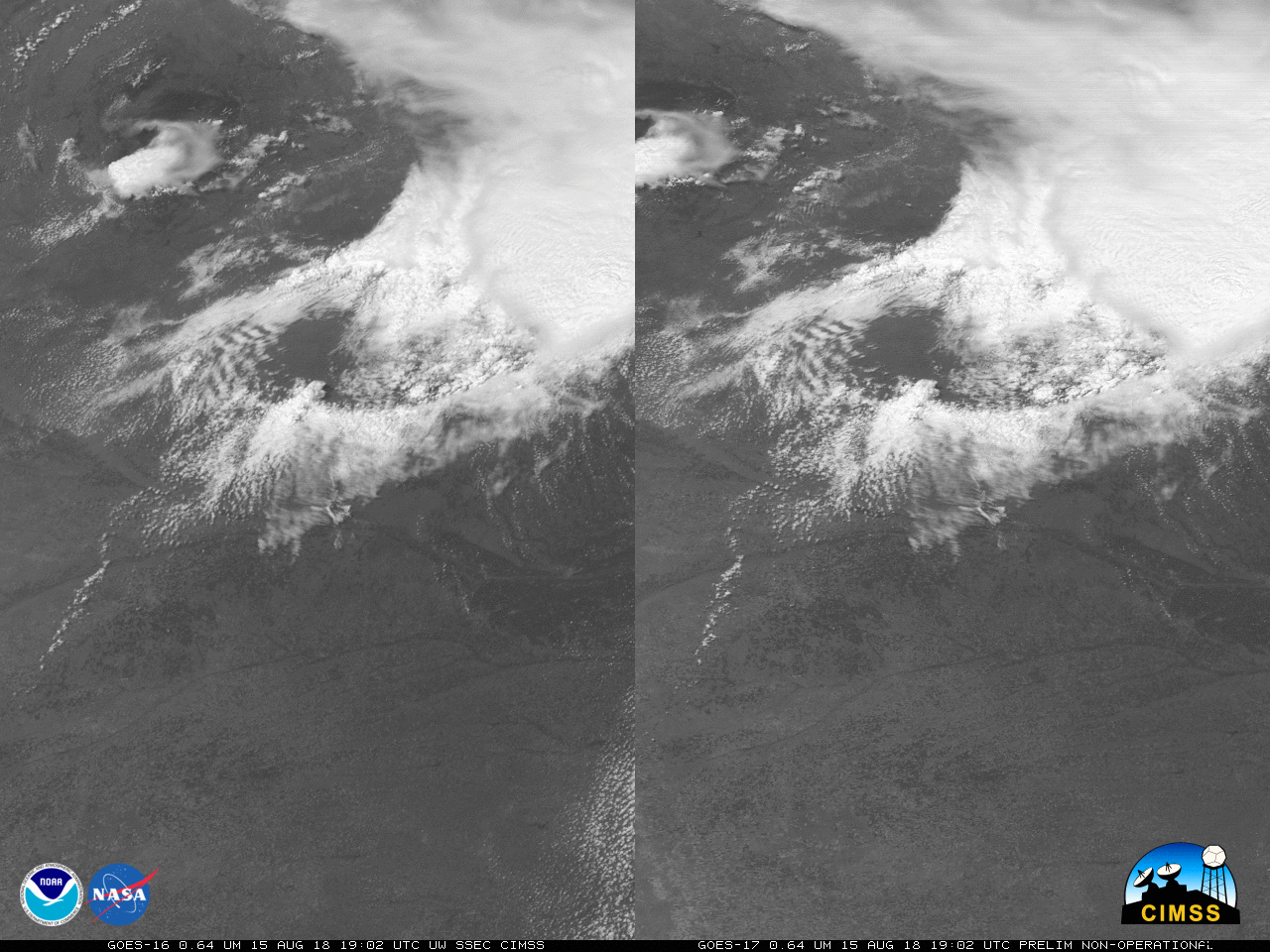
GOES-17 Data shown in this post are preliminary and non-operational!A Strong thunderstorm developed over Nebraska on 15 August (read more below), depositing baseball-sized hail in Arthur County. This storm was sampled by a GOES-16 Mesoscale sector, and the 1-minute imagery allowed views of the rotating updraft (Link). The stereoscopic view above, from the GOES-16 and GOES-17... Read More

